Outdoor Planner App
Introduction
For the last few weeks I have been working on an app idea that I had been thinking about for a long time. Ever since I started going on multi-day hikes, I have been looking for a good solution to plan hikes in advance and navigate while doing them.
For most of my hiking in Switzerland I use the SwitzerlandMobility app. It works very well for planning routes and for navigation, but lacks features for longer trips.
There is of course FarOut, an app that I used while hiking part of the Pacific Crest Trail. It offers a lot of the features I was looking for, but while they have well-curated guides for some popular long-distance trails, there’s no way to plan your own routes.
Current State
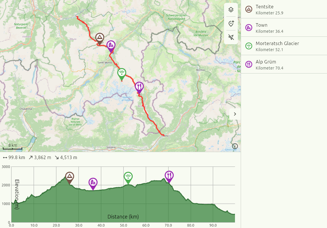
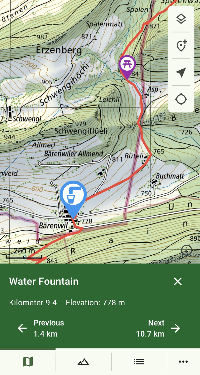
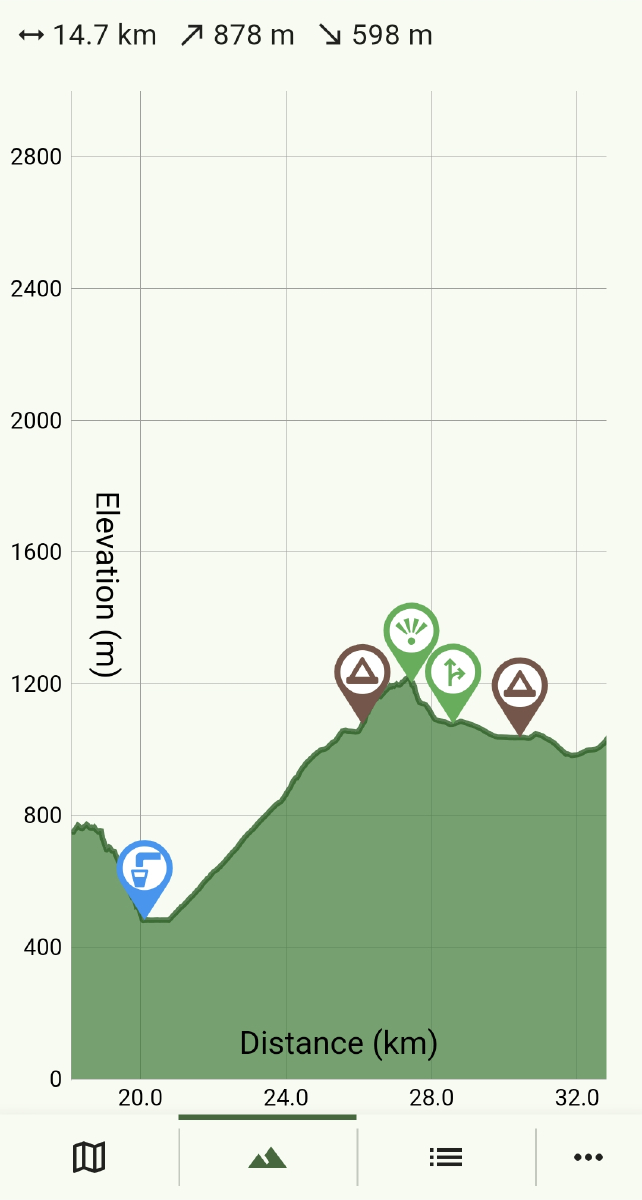
The app allows you to add points of interest (POIs) to a map. You can then import routes from GPX-files. Any POIs along the imported path get added to the route as waypoints. The route and waypoints get displayed on the map along with the current location. There’s also an elevation profile that can be zoomed into.
Because I’m developing the app using Flutter, it is easy to also build it for the web. Being able to open it on a big screen makes it much easier to plan long trips.

Planned Features
- Dividing a planned route into individual days, with easy adjustment on the fly
- Downloading maps for offline use
- Routes consisting of multiple alternates and spur trails
- Cloud storage and synchronization between devices
- Sharing POI collections and routes with others

