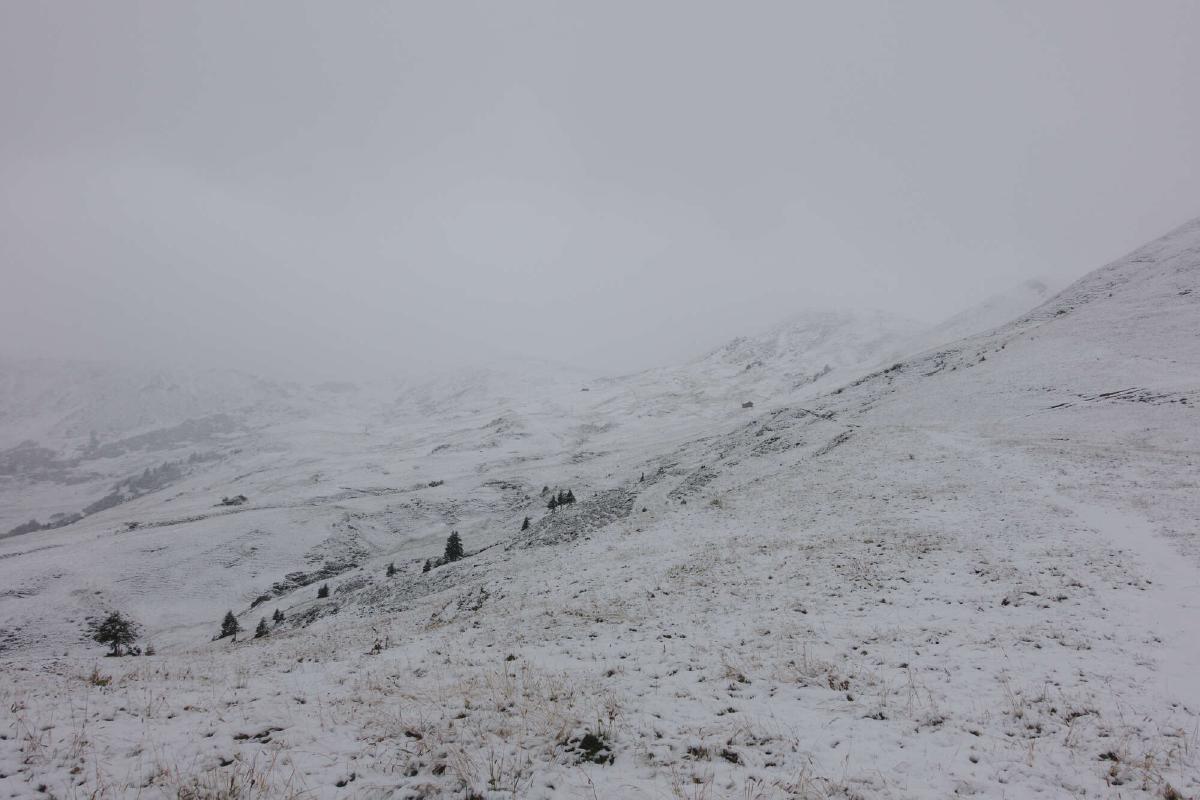
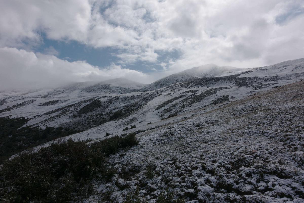
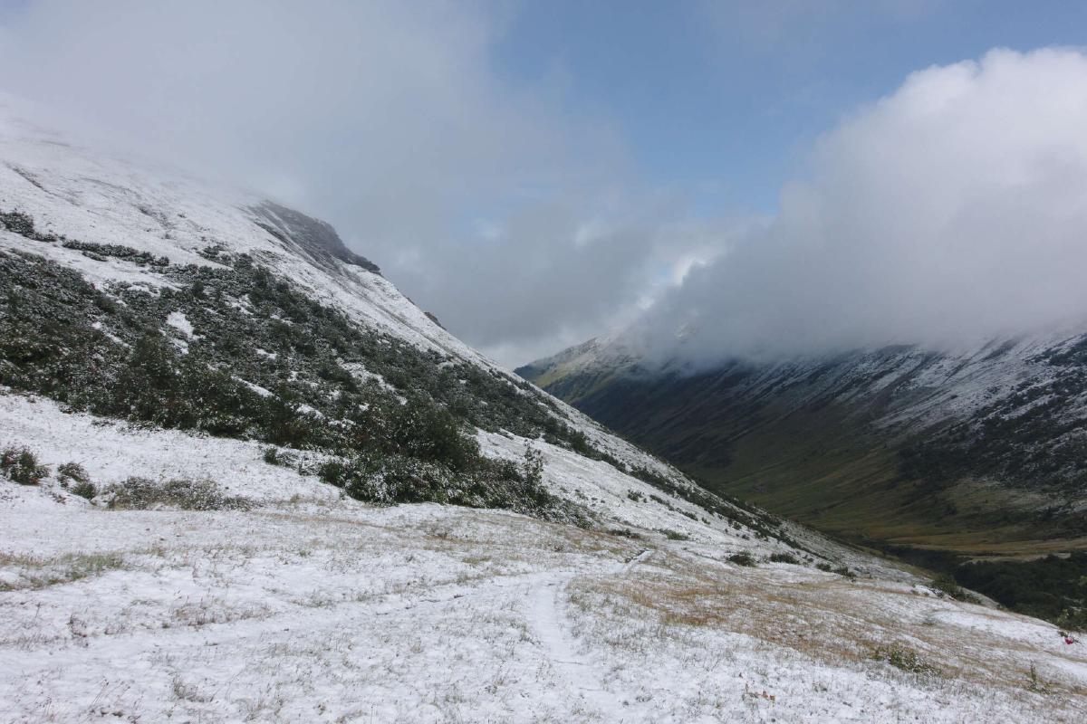
From August 28th to September 9th 2019 I hiked from Sargans to Montreux on the Via Alpina, also known as the Alpine Pass Route. This was my longest trip so far and tested all of the skills and strength that I had gained over a year of backpacking. The weather was often pretty bad and I unfortunately missed a lot of the amazing views. It never got too dangerous though and the conditions just added to the challenge, making the already strenuous hike into a true adventure.
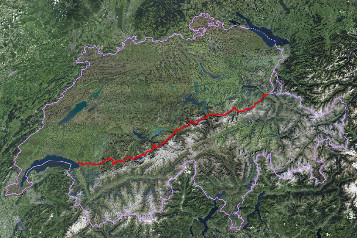
On my first thru-hike, the Walkers Haute Route from Chamonix to Zermatt in 2018, I had planned out each day in advance and stayed mostly in campsites and huts. For the Via Alpina however, it was important to me not to plan too much beforehand and instead be able to hike as much or as little as I wanted each day. Most nights were spent under my tarp somewhere in the mountains, but I also treated myself to two hotel stays to shower and to wash my clothes. I ended up liking this style of hiking much more, since it gave me the freedom to adapt to the conditions and to how my body felt.
Since the legality of wild camping in Switzerland is pretty complicated, I usually set up camp late in the evening and continued hiking early in the morning. I took care never to camp in any protected areas (as described here) and left each spot exactly as I had found it.
List of the gear that I carried (some small items may be missing): https://lighterpack.com/r/9zu4h2.
Day 1: Sargans - Alp Foo
Distance: 24.7 km; Ascent: 1'838 m; Descent: 238 m
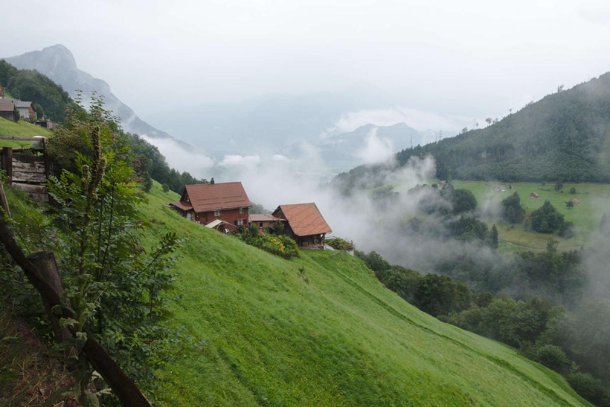
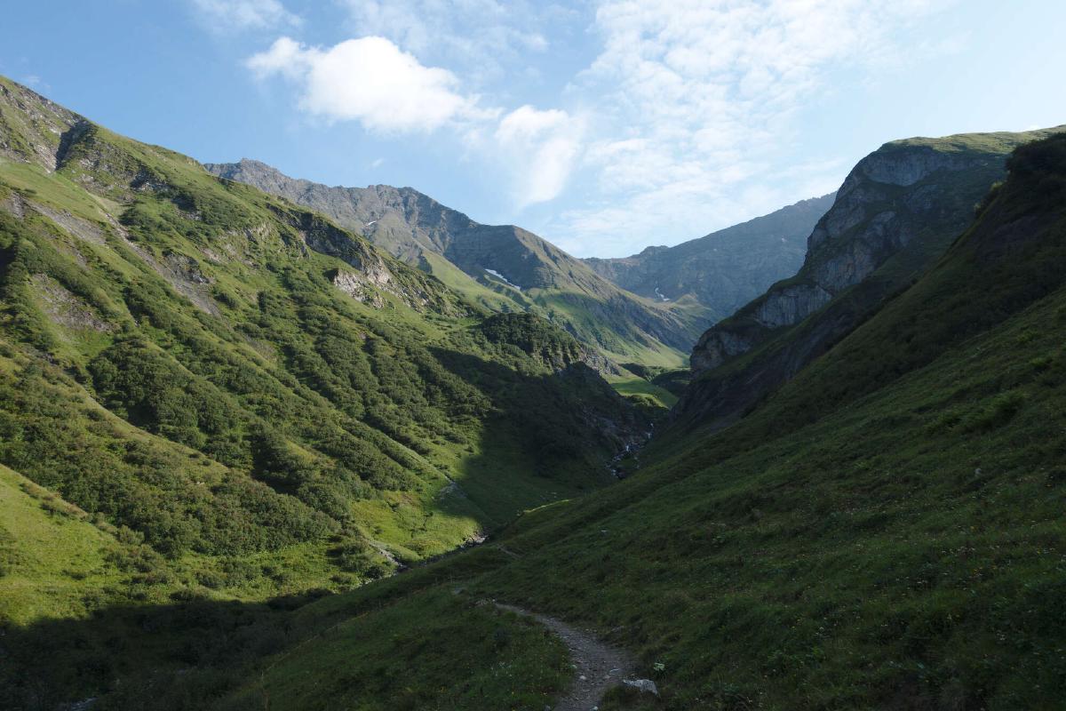
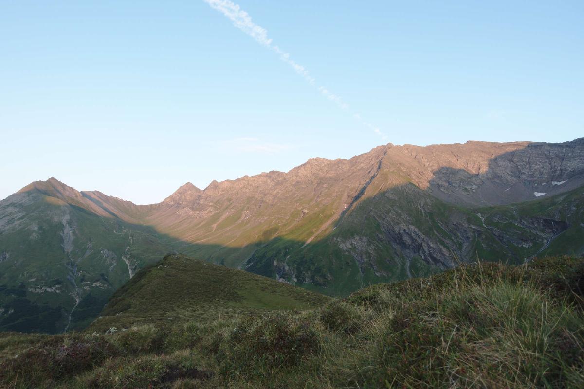
The start of the trail through Sargans and Mels wasn’t too exciting, especially since it was overcast and raining when I started my hike. Pretty soon though the trail started to climb steeply into the Weisstannen valley and offered some nice views even with the bad weather. In the early afternoon, the clouds slowly began to part and soon after it was clear skies and sunshine. The scenery only got more spectacular from there, with steep cliffs and amazing waterfalls on the sides of the valley. That night I slept under the stars somewhere between Alp Foo and the Foopass.
Day 2: Alp Foo - Erbser Stock
Distance: 21.8 km; Ascent: 1'463 m; Descent: 1'406 m
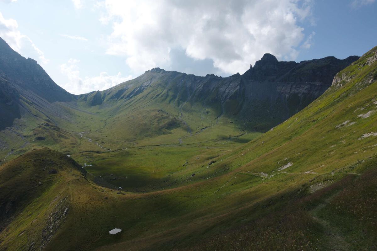
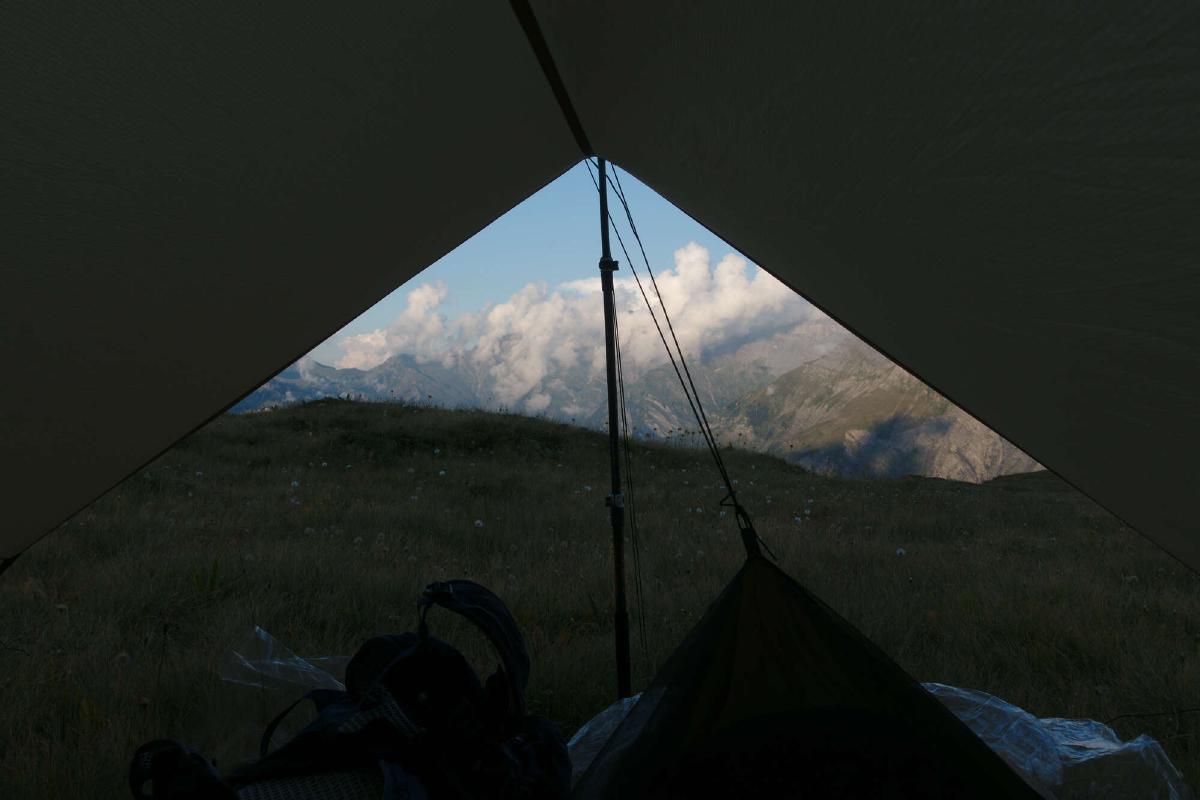
As nice as sleeping under the stars had been, it unfortunately left me with a wet sleeping bag and bivy from dew. I made a mental note to dry them out during my lunch break and started hiking. After a short climb to the top of the pass came the long descent down to Elm. I resupplied at the grocery store and started to tackle the steep climb up the other side of the valley. The mid-day heat made the climb pretty miserable. Thankfully the trail was mostly level after the initial climb and I also found a nice creek to wash my sweaty clothes and cool off. After another short climb, I found a nice spot to set up camp near the Erbser Stock.
Day 3: Erbser Stock - Urnerboden
Distance: 27.8 km; Ascent: 1'249 m; Descent: 1'925 m
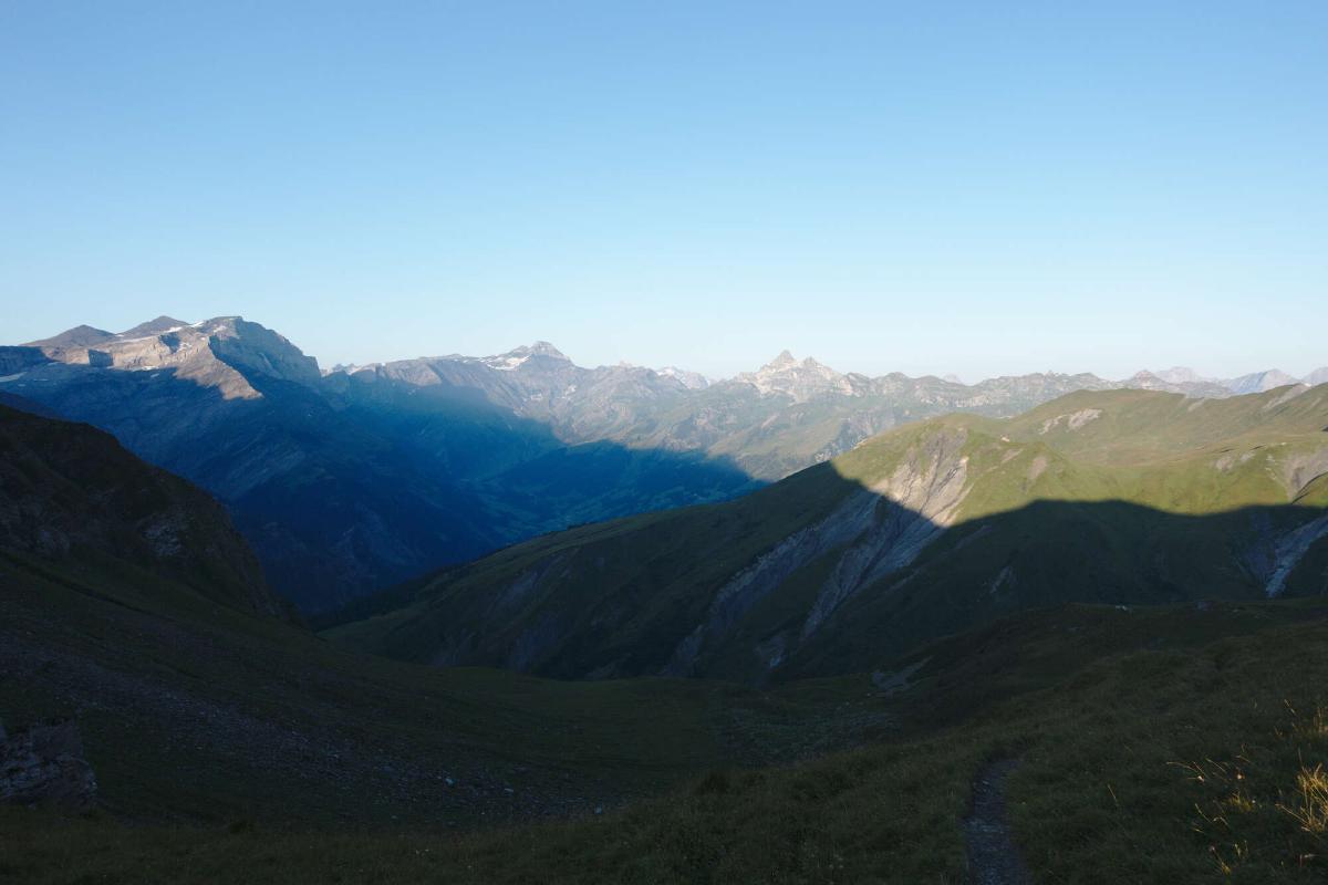
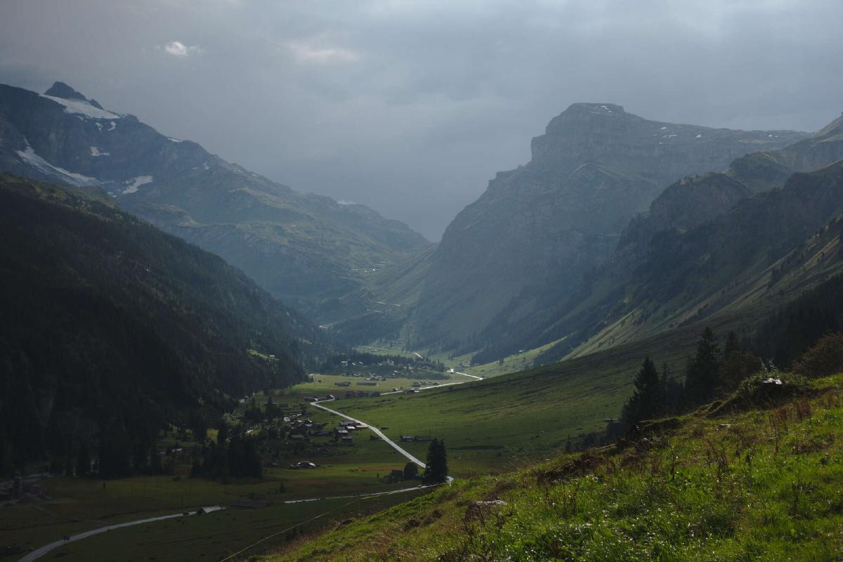
In the morning, I first had to descend a bit and then climb back up to the Richetlipass. After that came the long descent into Linthal, where I resupplied again. The cable car to Braunwald was tempting, but I was committed to doing the entire distance on foot. As I reached the scenic village Braunwald, it started to rain. A short while later I also heard some thunder, but the storm passed quickly. I passed Urnerboden and found a nice sheltered campsite in the woods shortly thereafter.
Day 4: Urnerboden - Altdorf
Distance: 26.8 km; Ascent: 876 m; Descent: 1'864 m
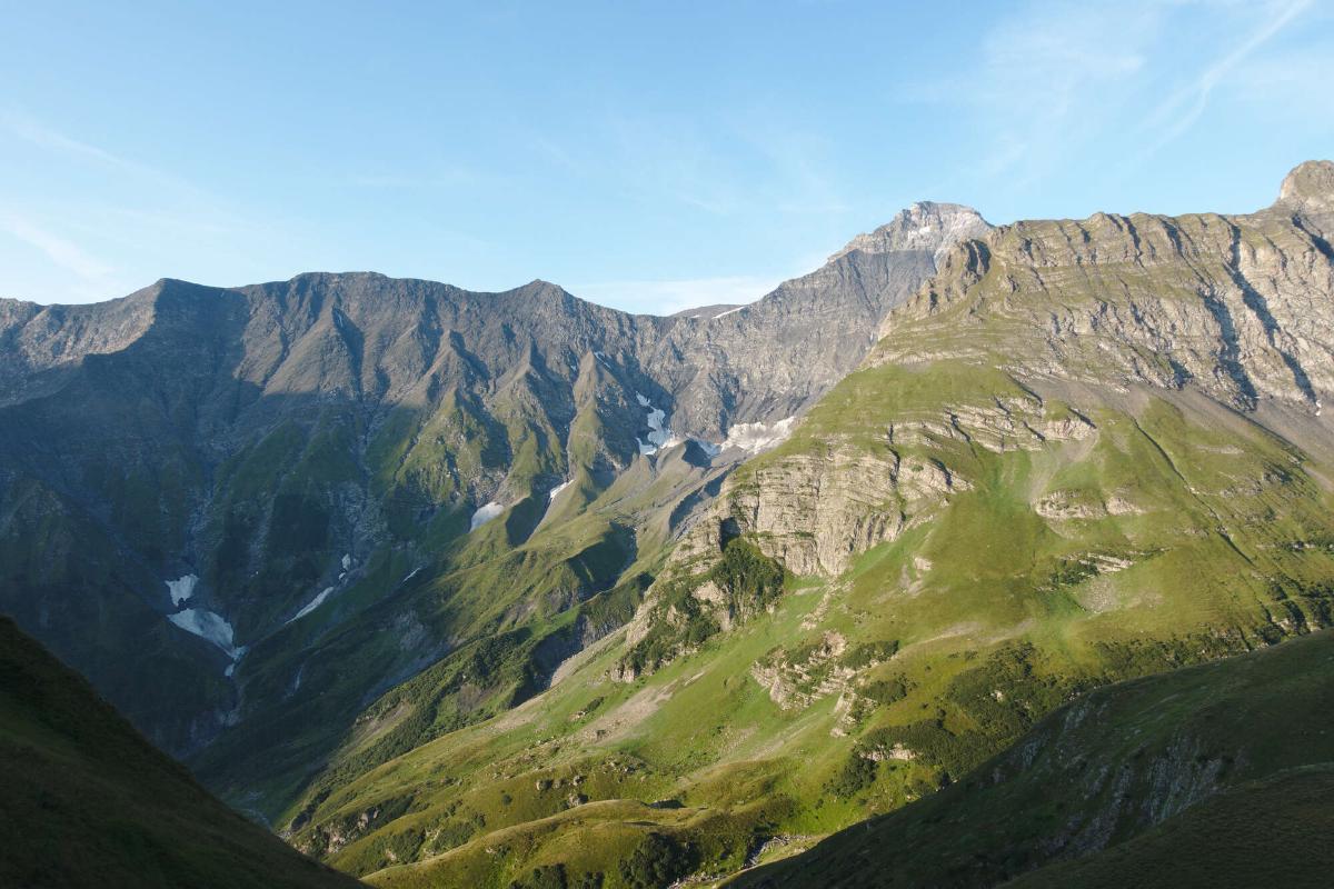
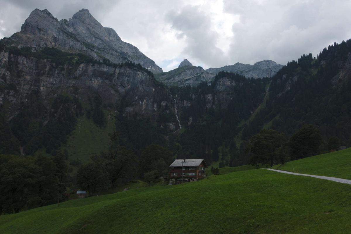
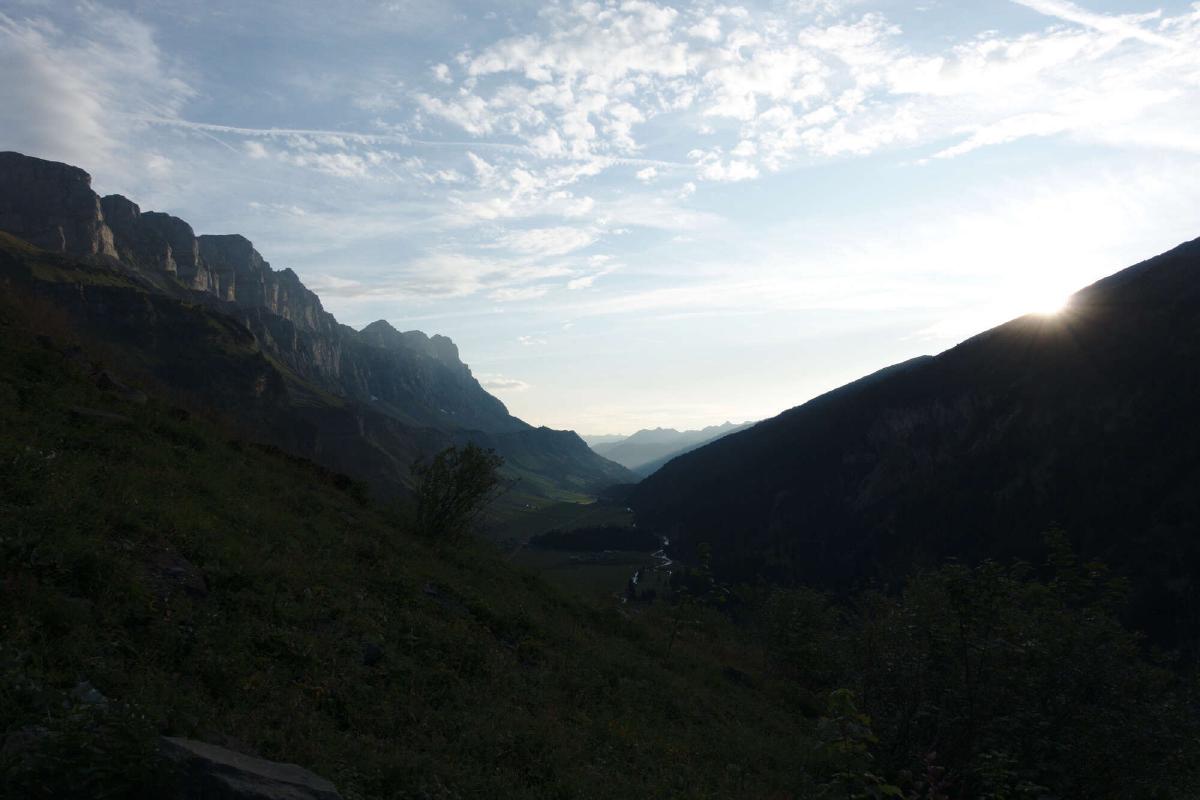
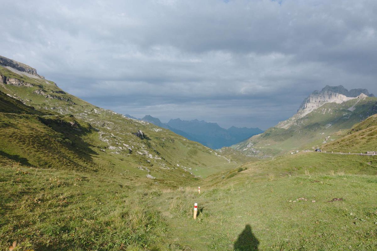
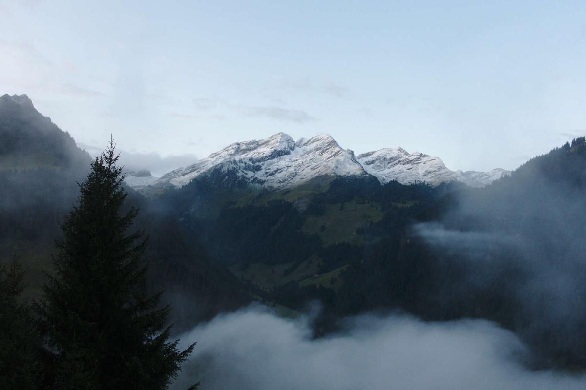
The weather had improved significantly during the night and I was greeted by a magnificent sunrise as I climbed up the Klausenpass. The trail then stayed high on the side of the valley for a long time before descending very steeply. During the day, the sky became more and more overcast, but thankfully it stayed dry until I arrived in Altdorf. Since the forecast predicted heavy rain all night, I decided to stay in a hotel.

Day 5: Altdorf - Surenenpass
Distance: 10.7 km; Ascent: 1'930 m; Descent: 146 m
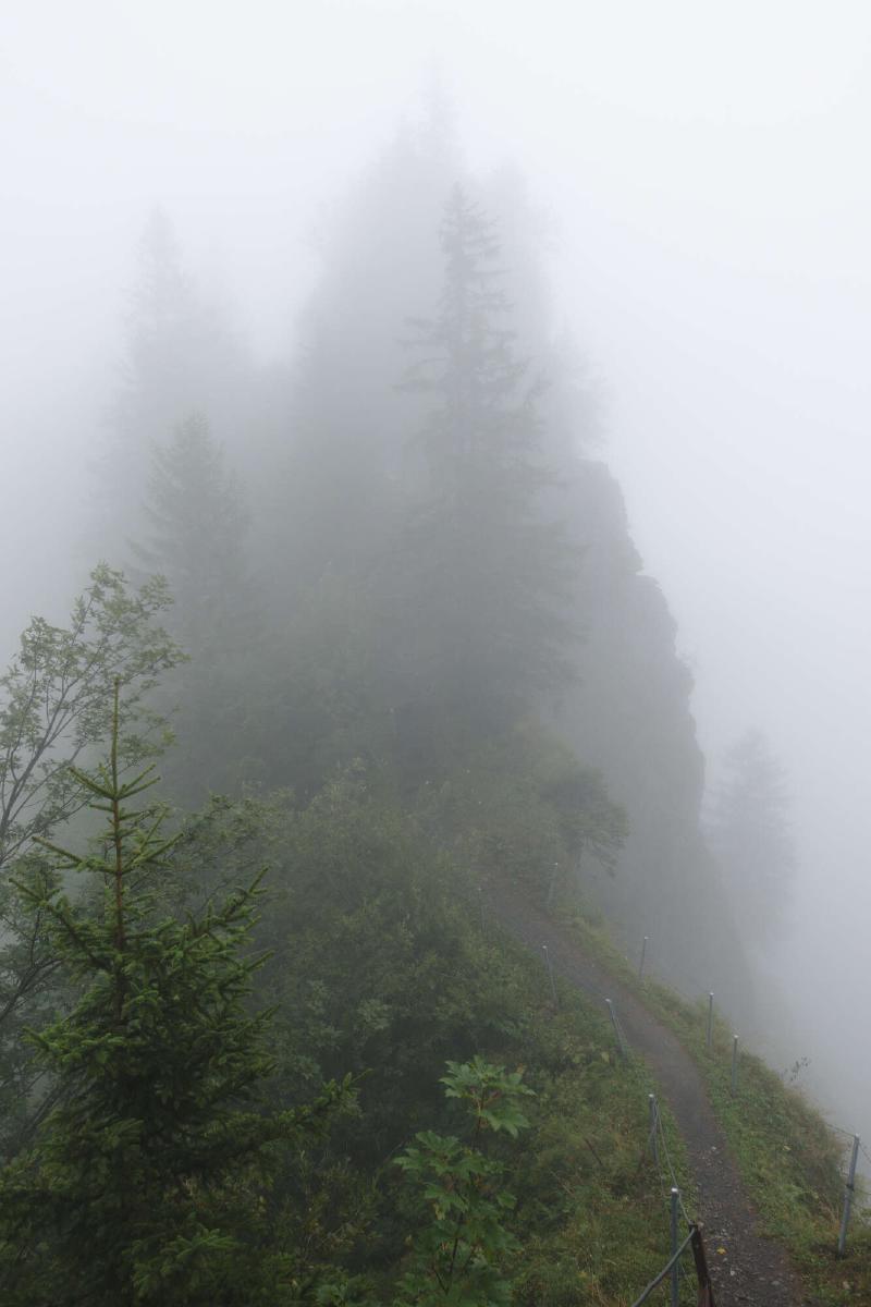
After a big breakfast at the hotel, I headed towards the low clouds. Pretty soon I was surrounded by thick fog and couldn’t see farther than about 25 meters. At least it didn’t rain a lot. Unsurprisingly I didn’t encounter a lot of people, just a lone hunter that emerged from the fog at some point. I was a bit disappointed that I missed out on all the great views that I had read about, but that was something I would have to get used to for the second half of the trip. The clouds only lifted up briefly when I got closer to the pass and I was able to spot some chamois in the distance. As soon as I reached the top of the Surenenpass, the wind and rain picked up. I hurried to the nearby hut to dry off and warm up. Even though it was still early afternoon, I decided to spend the night there instead of heading back out into the cold rain.
Day 6: Surenenpass - Balmeregghorn
Distance: 34.8 km; Ascent: 1'877 m; Descent: 1'993 m
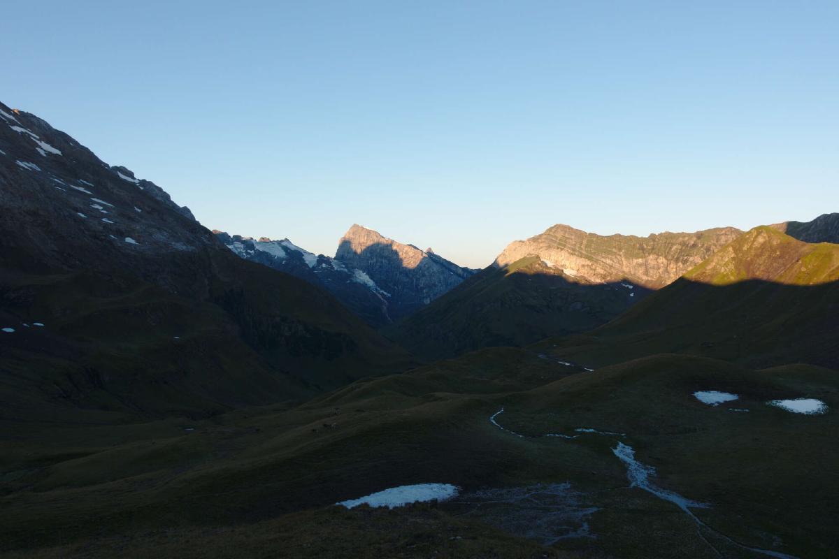
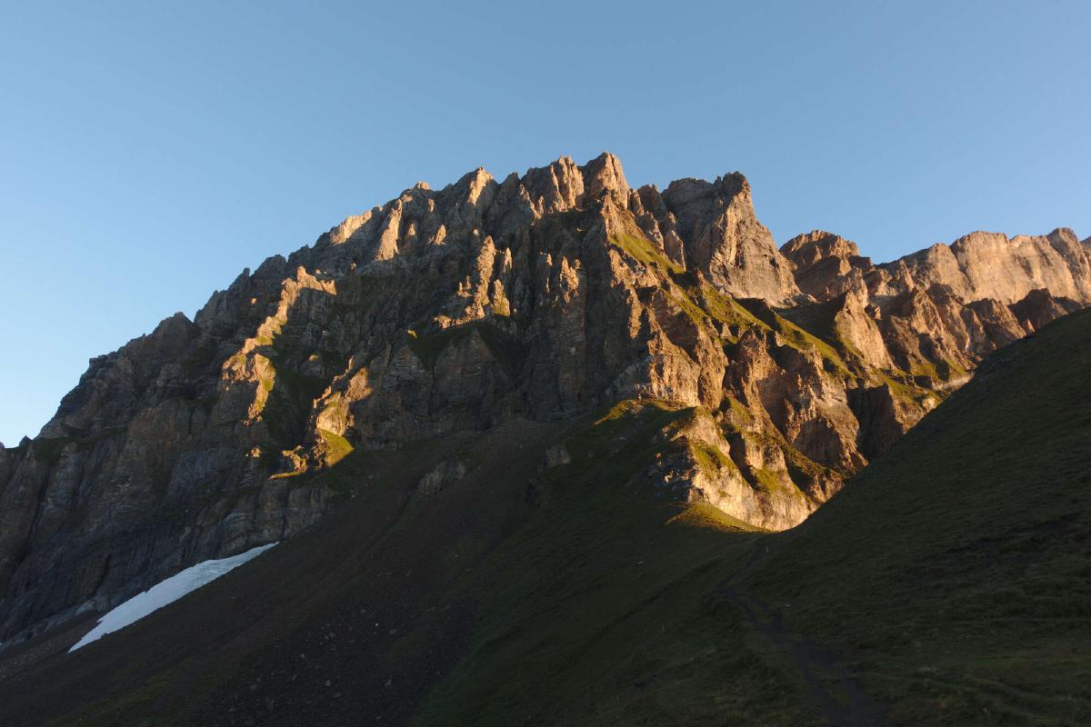
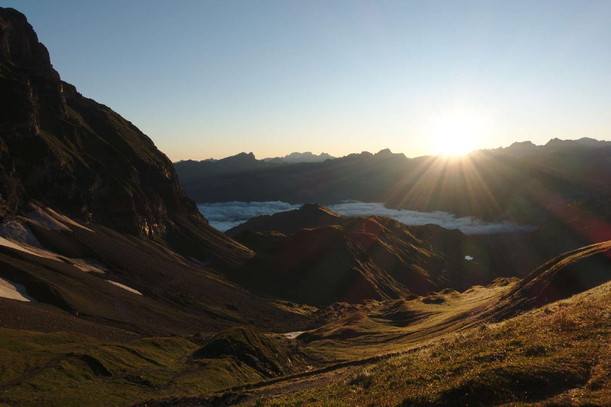
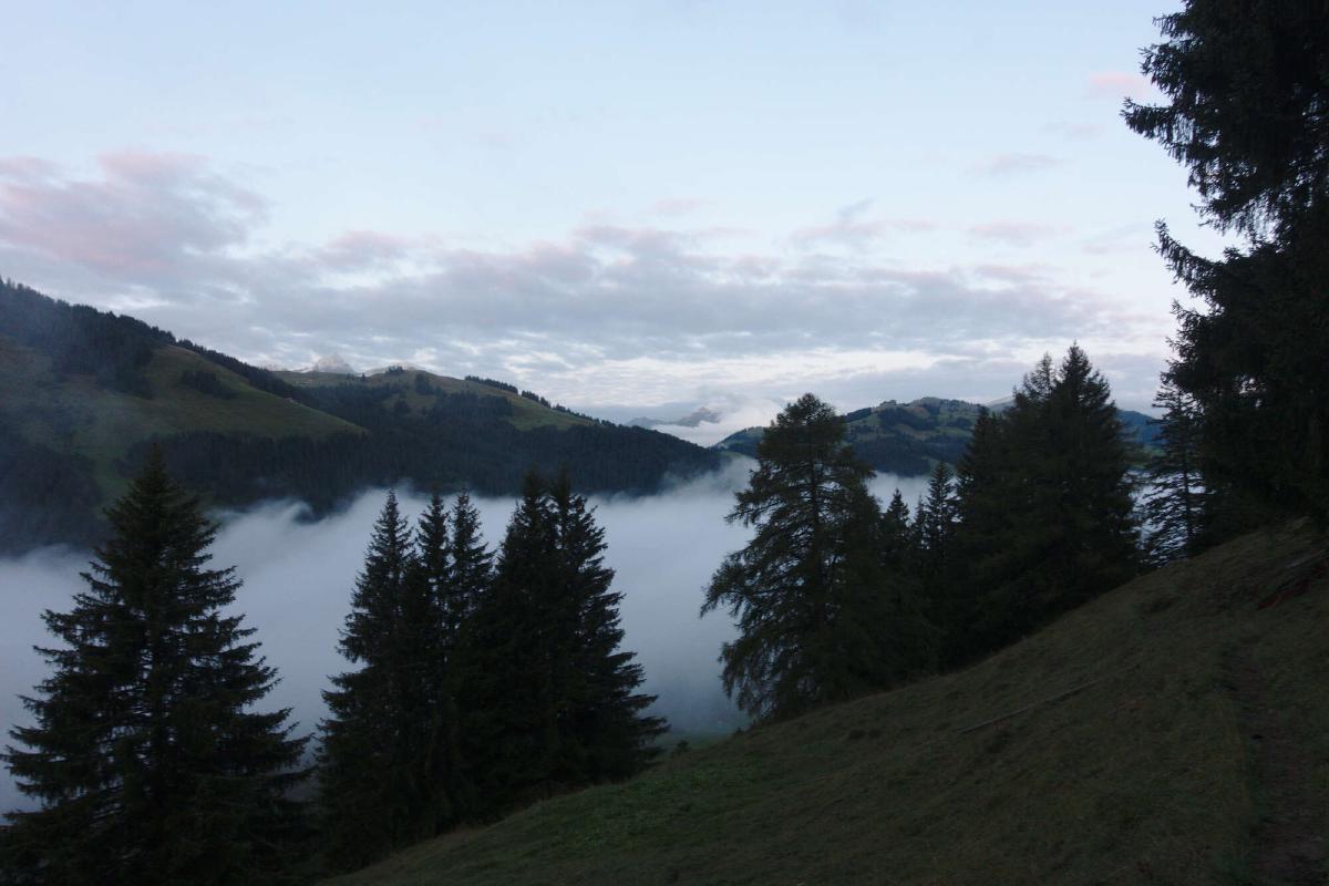
The next morning I was greeted by blue skies and a beautiful sunrise. I didn’t waste any time and was soon on the way to Engelberg. After a quick resupply and lunch I began hiking up the Jochpass. I felt really good and ended up hiking almost until the sun set.
Day 7: Balmeregghorn - Gr. Scheidegg
Distance: 30.4 km; Ascent: 1'662 m; Descent: 2'104 m
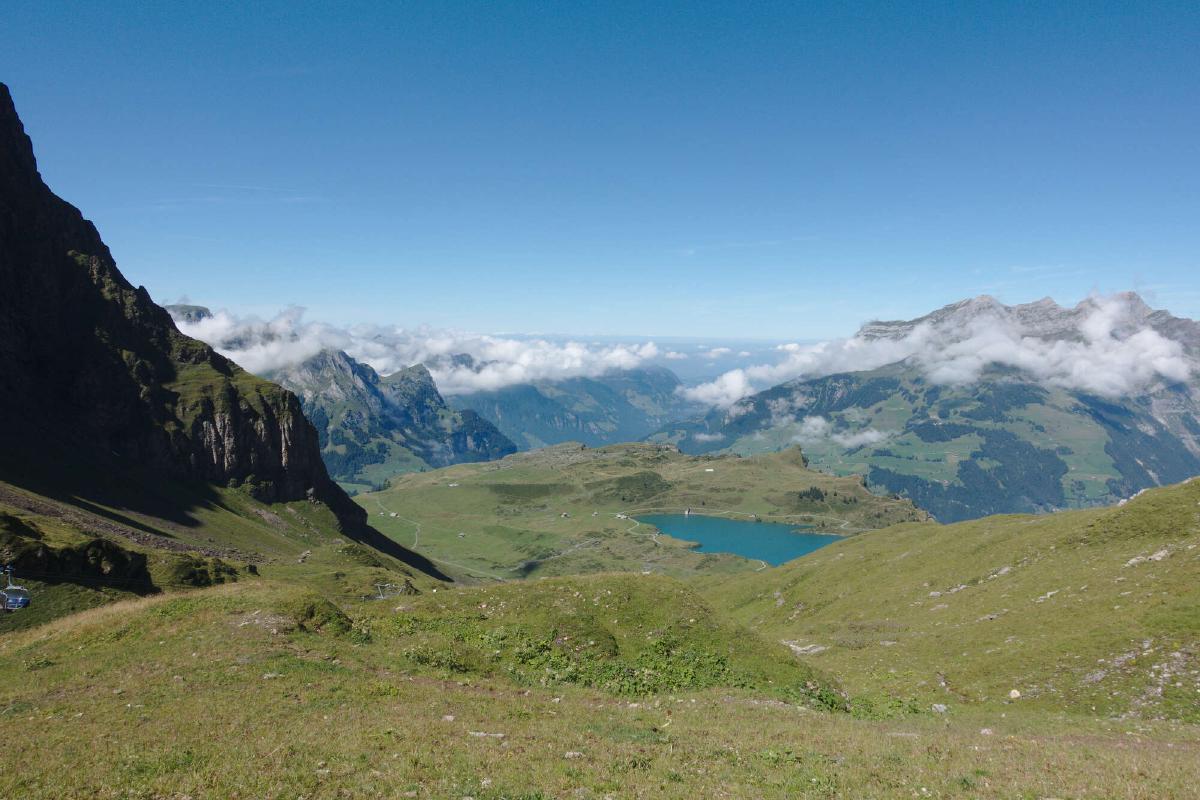
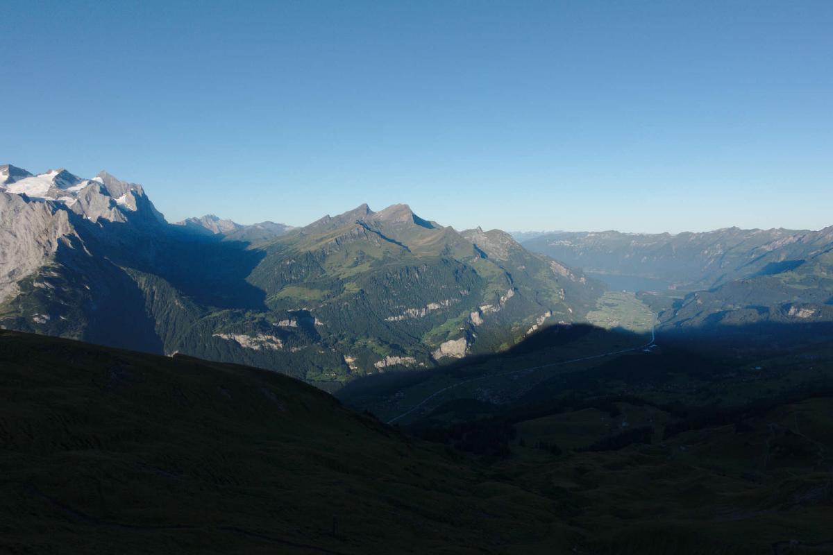
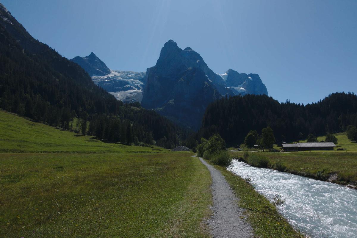
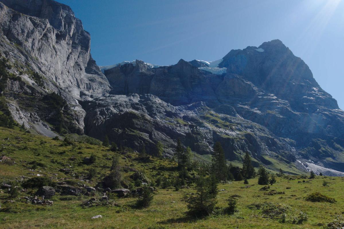
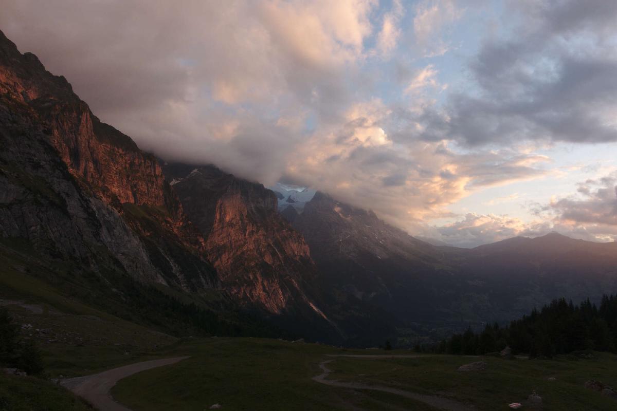
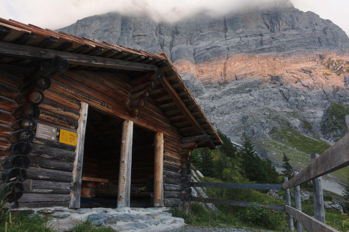
Well rested, I continued on to Planplatten. After admiring the view, I started the descent to Meiringen. The trail led through a pasture, where I had to negotiate a path through a herd of cows. At least there were plenty of wild blueberries to keep me happy. By noon I arrived in Meiringen, where I resupplied and treated myself to a Kebab. By the time I got going again, it had gotten pretty warm, which made the walk across the exposed valley floor quite exhausting. Thankfully I soon reached the forested slopes and got to cool off in the mist of the famous Reichenbach Falls. The rest of the way up to Grosse Scheidegg was a feast for the eyes with all the alpine meadows, steep rock walls and white glaciers. A short while after crossing the pass, I stumbled upon a little picnic area with a shelter, where I enjoyed a fantastic sunset.
Day 8: Gr. Scheidegg - Mürren
Distance: 32.1 km; Ascent: 2'079 m; Descent: 2'148 m
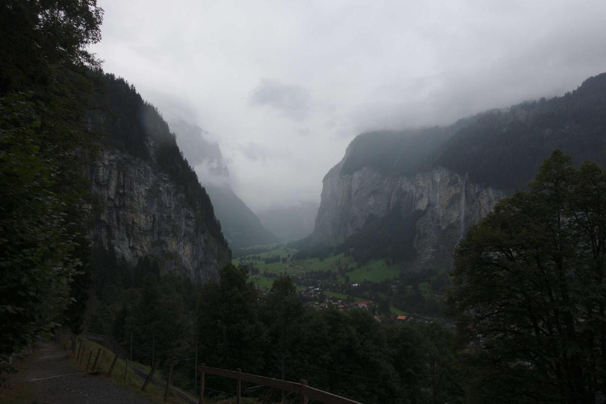
After getting up early, I reached Grindelwald before most tourists were out and about. I bought a few snacks to enhance my provisions and started the arduous climb to Kleine Scheidegg. This section wasn’t technically challenging at all, but the steep roads seemed to go on forever. As the morning went on, more and more clouds started to form, obscuring the impressive Eiger north face. During the descent to Lauterbrunnen the temperature fell and it started to rain. Even with all the clouds and fog, I could see why this valley is such a popular destination. I pushed on to Mürren and reached to hotel drenched from rain and sweat.
Day 9: Mürren - Oeschinensee
Distance: 25.3 km; Ascent: 2'245 m; Descent: 2'272 m
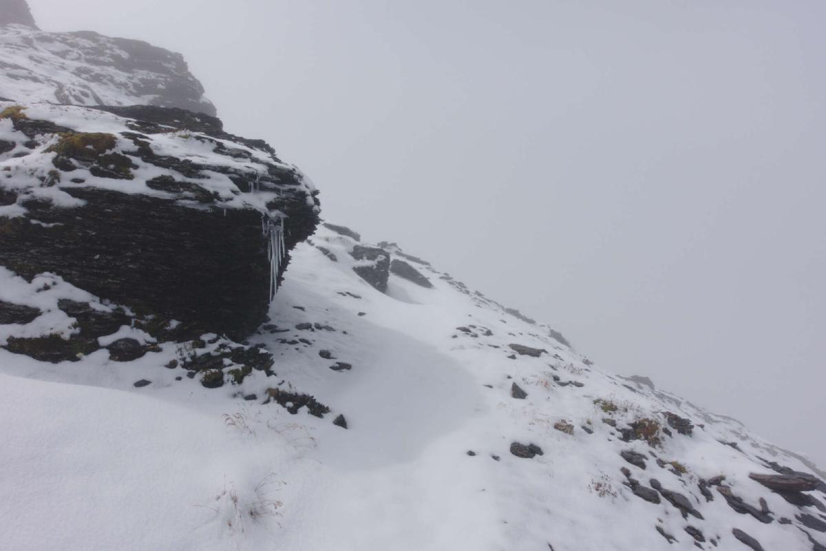
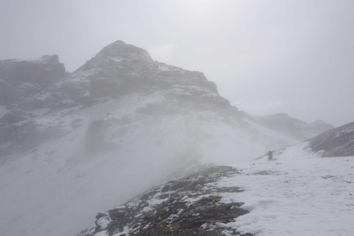
I had been worried about this day, as the two highest passes of the trip were ahead of me and the forecast predicted snow and heavy clouds. I decided to continue on anyway, but to turn around if the conditions got too bad to handle.
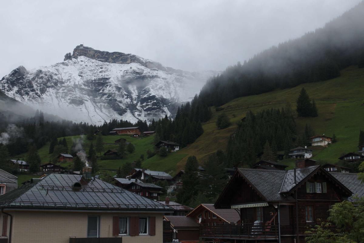
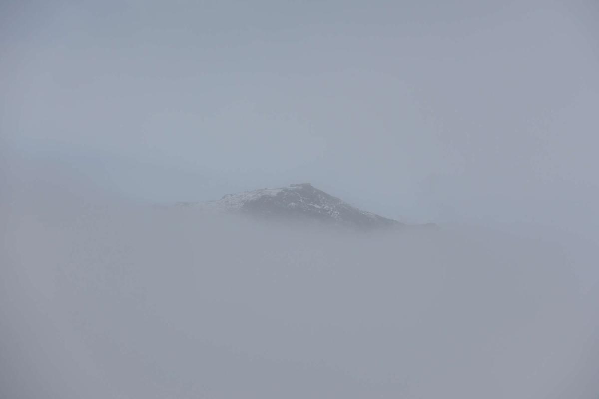
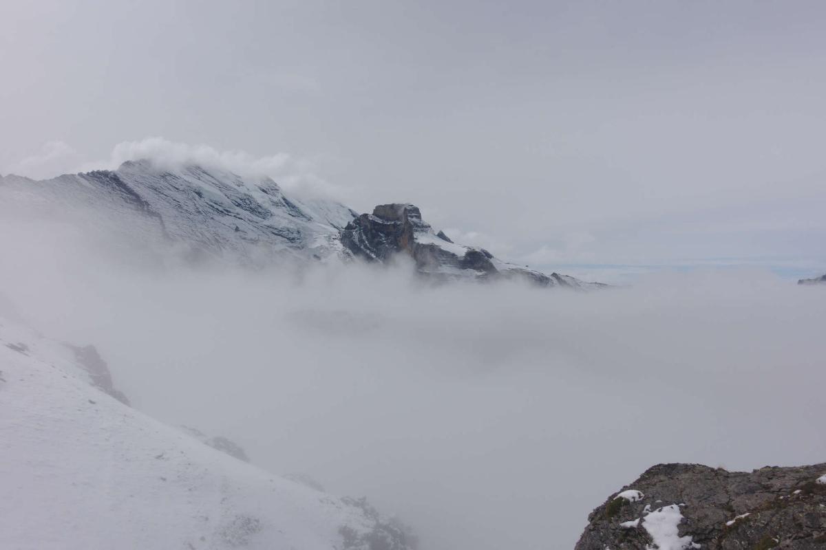
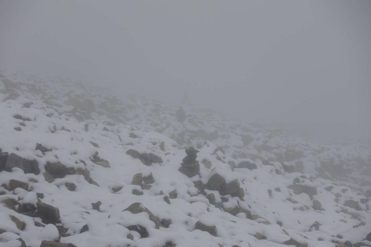
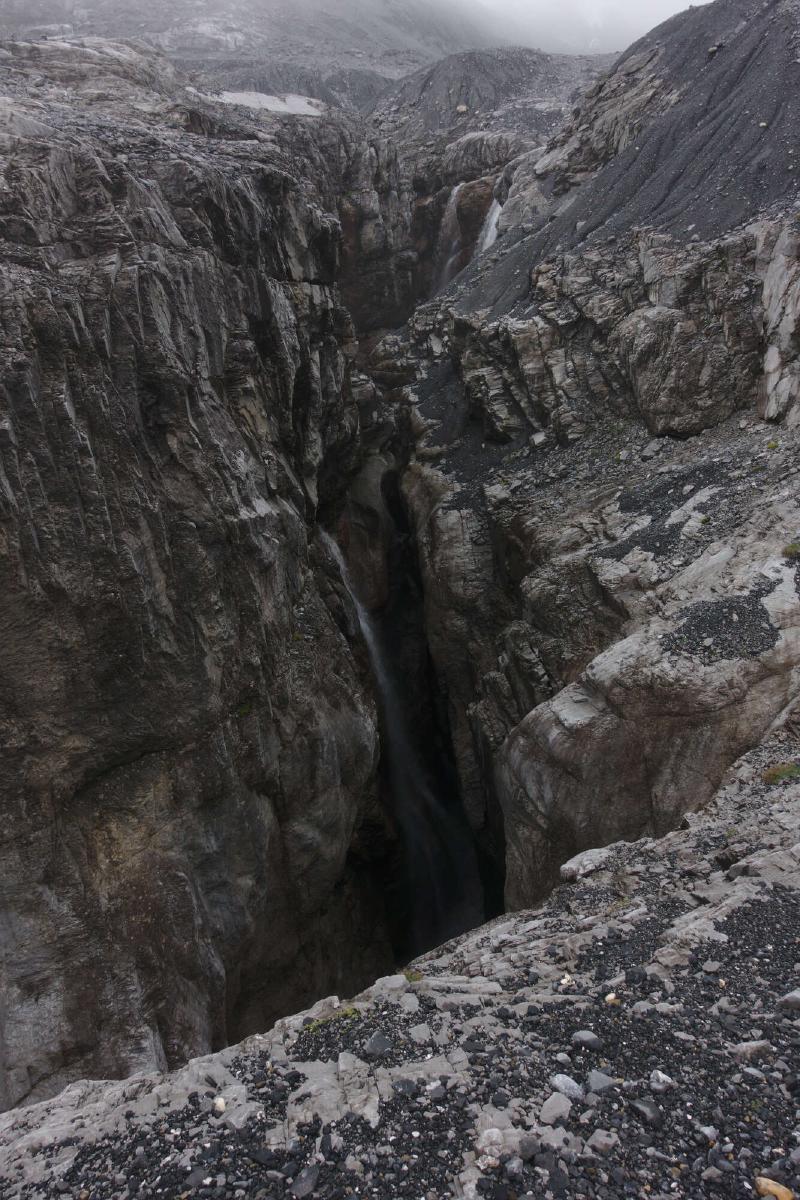
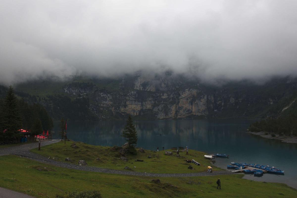
The climb out of Mürren was on mostly snow-free trails and in thick fog. As I reached the first pass of the day (Sefinafurgga), I could spot some of the surrounding peaks poking through the cloud tops. The pass was covered in snow, making it quite hard to find the correct way down. After nearly trying to follow a narrow snow-covered lip, I eventually found the trail. Thanks to poles and cairns along the way, navigation wasn’t too difficult from that point. I had decided not to follow the official route down to Griesalp, instead taking the direct route across the glacial landscape. The second pass was snow-free, but still in the fog. After seeing all the camping-prohibited signs around the Oeschinensee, I decided to continue on for a bit and camped in a nearby forest.
Day 10: Oeschinensee - Lenk
Distance: 30.3 km; Ascent: 2'098 m; Descent: 1'949 m
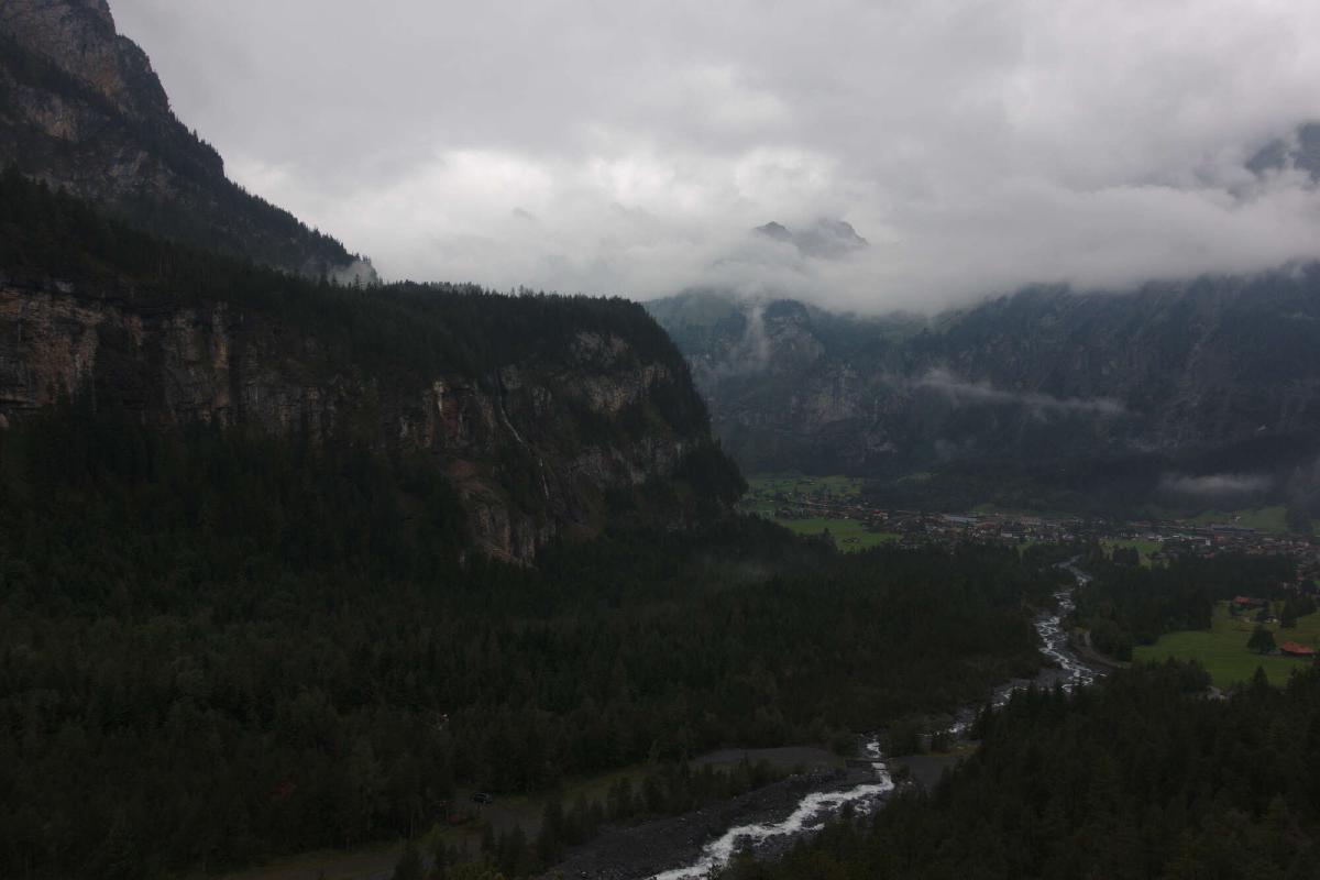
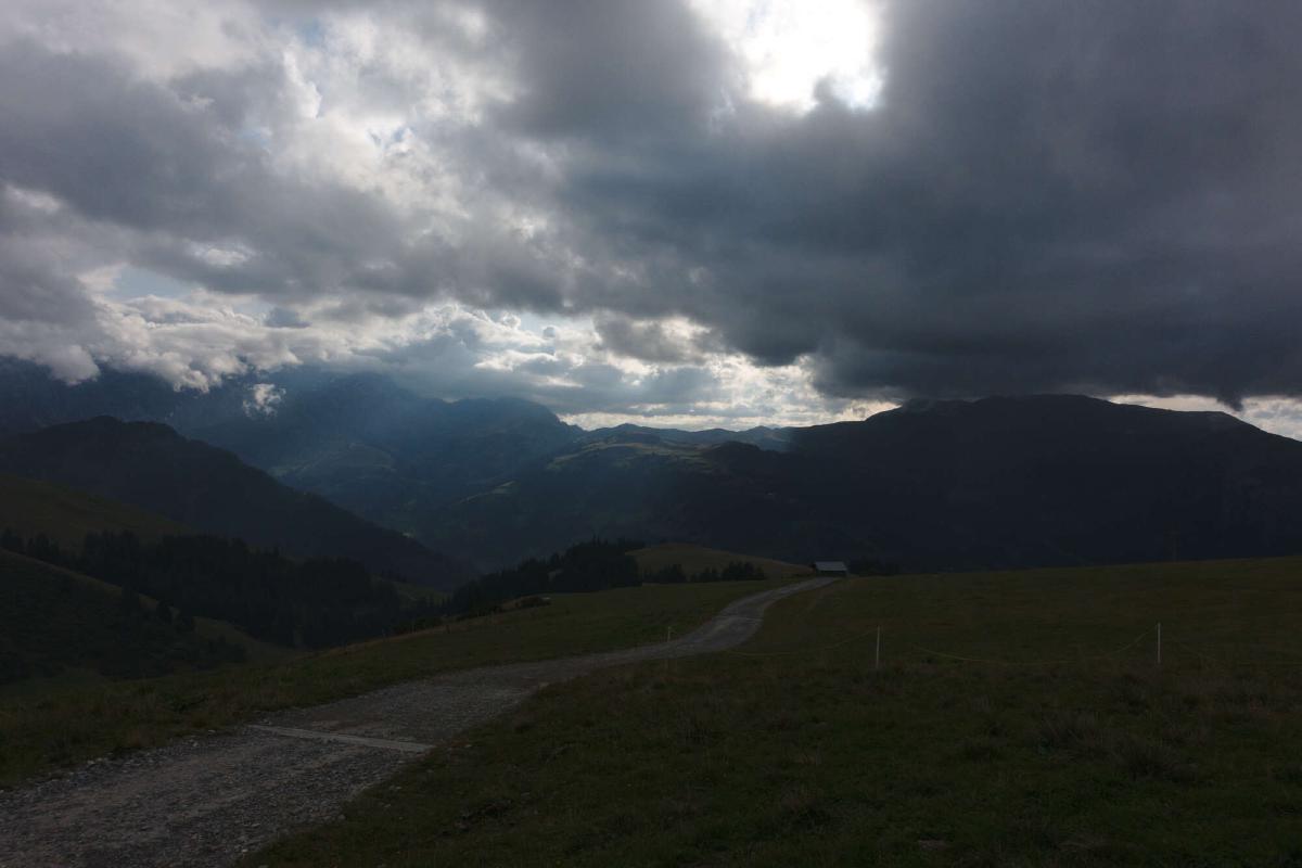
The clouds had lifted slightly during the night, but it was still overcast. I descended to Kandersteg, resupplied, and hiked up to Bunderchrinde. Only on the way back down to Adelboden did the weather improve slightly. The ascent from Adelboden to the Hahnenmoospass was one of the most boring parts of the route, with the trail mostly following paved roads through a built-up ski resort. After soaking up some of the rare rays of the setting sun, I tucked myself into a small forest and set up camp.
Day 11: Lenk - L’Etivaz
Distance: 40.8 km; Ascent: 2'388 m; Descent: 2'684 m
As I woke up it was raining, but thankfully I was in a pretty sheltered spot and could pack up without getting soaked. I passed through Lenk early in the morning, before the shops had opened, but I still had plenty of food. The ascent to the Trütlisbergpass started out quite pleasant, leading through a forest and passing some spectacular gorges. But soon the trees faded away and were replaced by snow-covered meadows. At around noon, the cloud parted. I continued walking and sliding into the valley for a while, before deciding to take a lunch break and try to dry out my soaked feet. However just as I sat down and took off my shoes, I noticed a cold wind coming up the valley, followed by a dark wall of clouds. I cursed and started walking again, eating as I went.
Reaching Gstaad was a big culture shock, seeing all the luxury cars, big villas and people in expensive clothes. I just bought some snacks, thinking that I still had plenty of food for the following day. On the climb to the Col de Jable, the weather worsened again, with high winds and pouring rain. The worst part however were the muddy trails across the cow pastures near the pass. I constantly had to be careful not to slip or sink in, all while already being exhausted from the hardships of the past days. I almost reached my breaking point when I sank into the mix of mud and cow shit up to my shins. However I was determined to reach the closest forest, so I tried to wash off in a cow trough as best as I could and continued on.
Day 12: L’Etivaz - Montreux
Distance: 37.8 km; Ascent: 1'850 m; Descent: 2'929 m
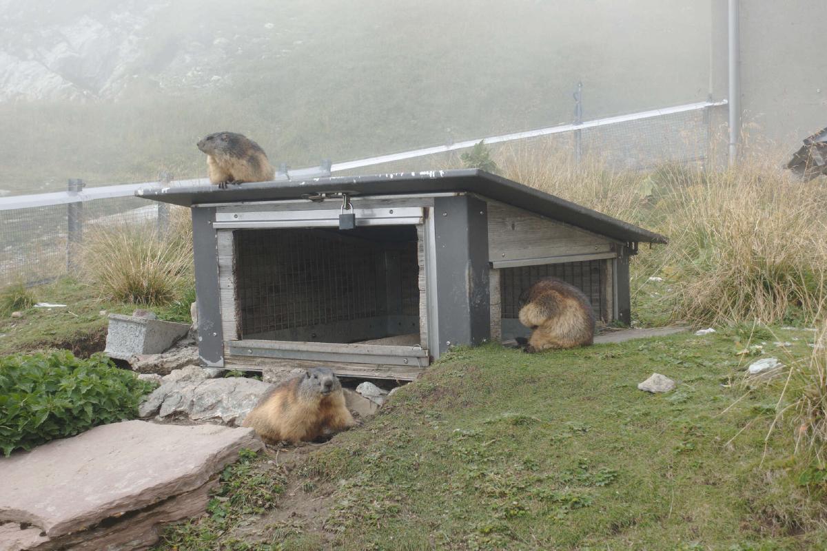
The efforts of the previous days were worth it, as I was now within a day’s march of the finish line. The day started off cold, but the sun was out and there were just some scattered clouds left over. I had decided to shorten the route and took a shortcut through La Lécherette to the Col de Sonlomont. As the morning went on, I realized that I had made a mistake with my food planning. The only thing I had left was some Nutella, which I ended up having to eat straight out of the jar. While that was much less enjoyable than I thought, it did give me enough energy to tackle the last climb of the trip. Soon it turned out that I would have a final stroke of bad luck with the weather, as the peak of Rochers de Naye was shrouded in fog. Nevertheless, I devoured a salad at the restaurant there and then started the long descent into Montreux.
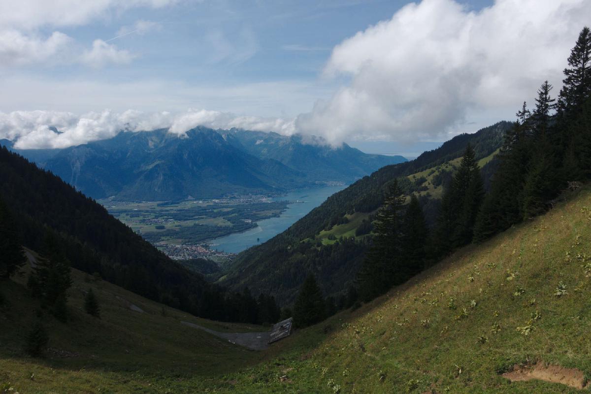
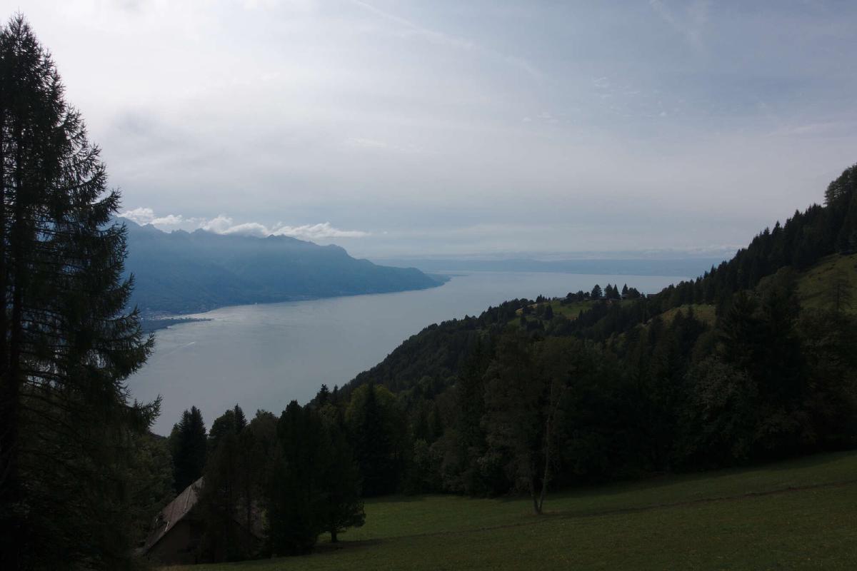
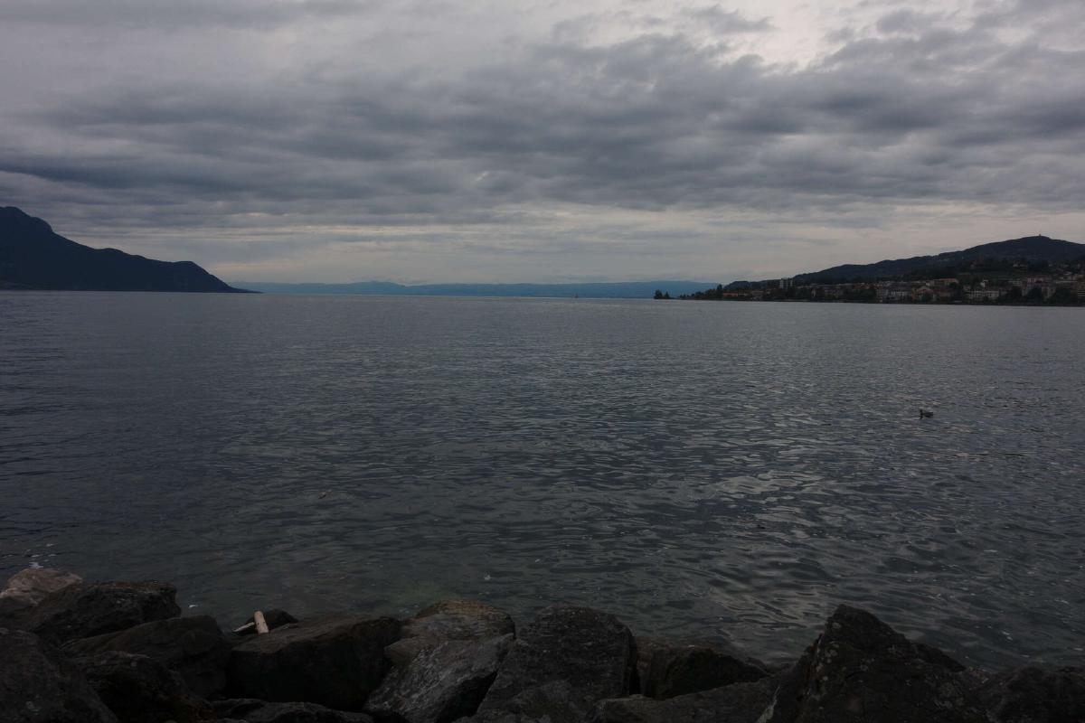
When I finally reached Lake Geneva, I was overwhelmed by a mix of emotions. On one hand I was relieved that I had accomplished what I had set out to do and was looking forward to sleeping in my own bed again, but I was also sad that I wouldn’t have such a clear goal to work towards anymore. The trip had been an amazing experience and all the hardships only served to make the good moments even better.
