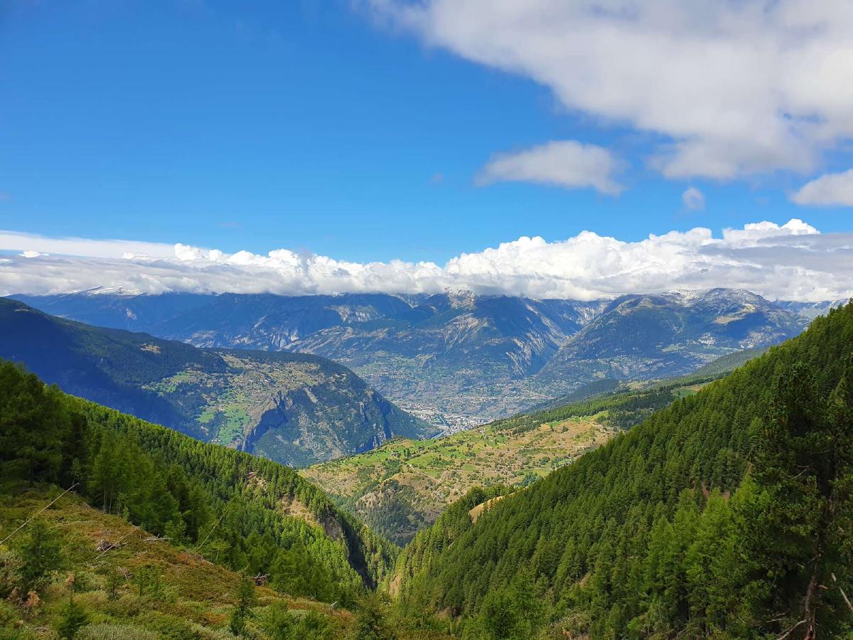
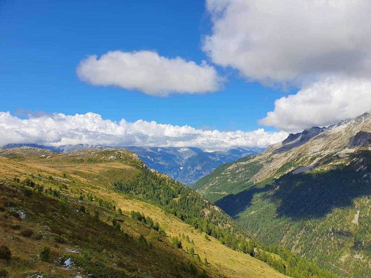
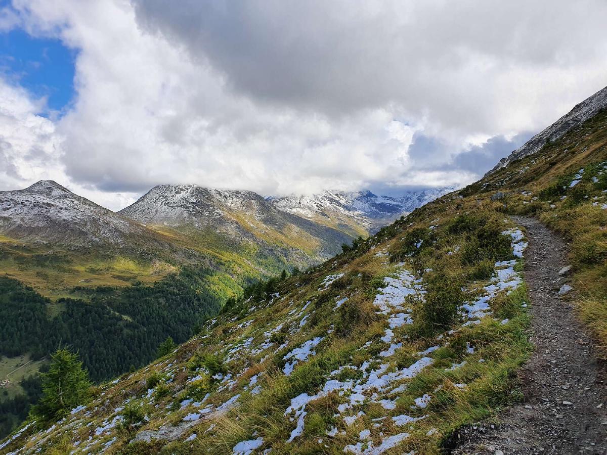
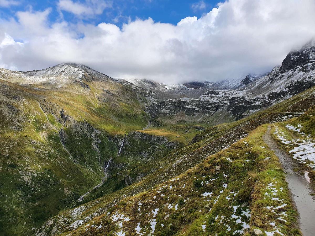
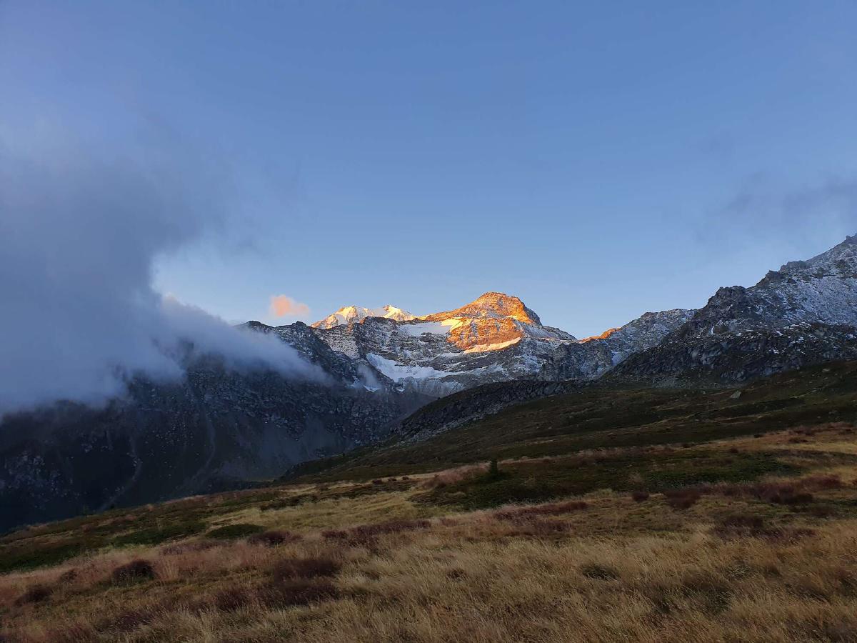
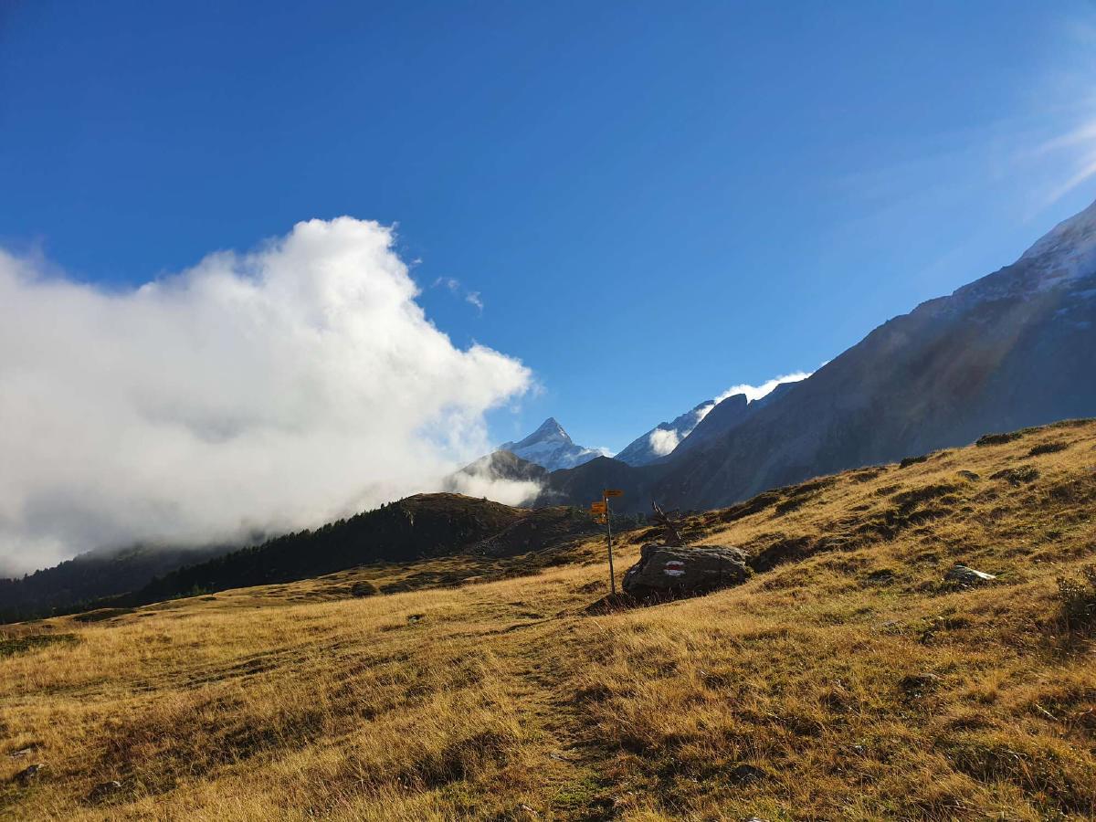
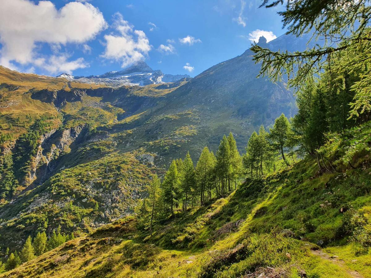
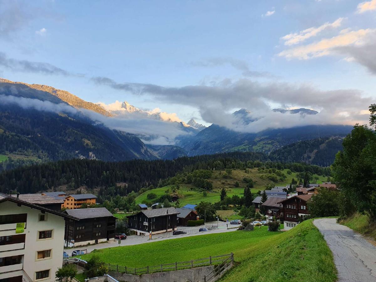
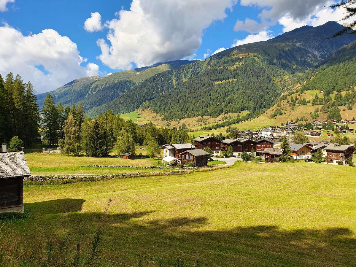
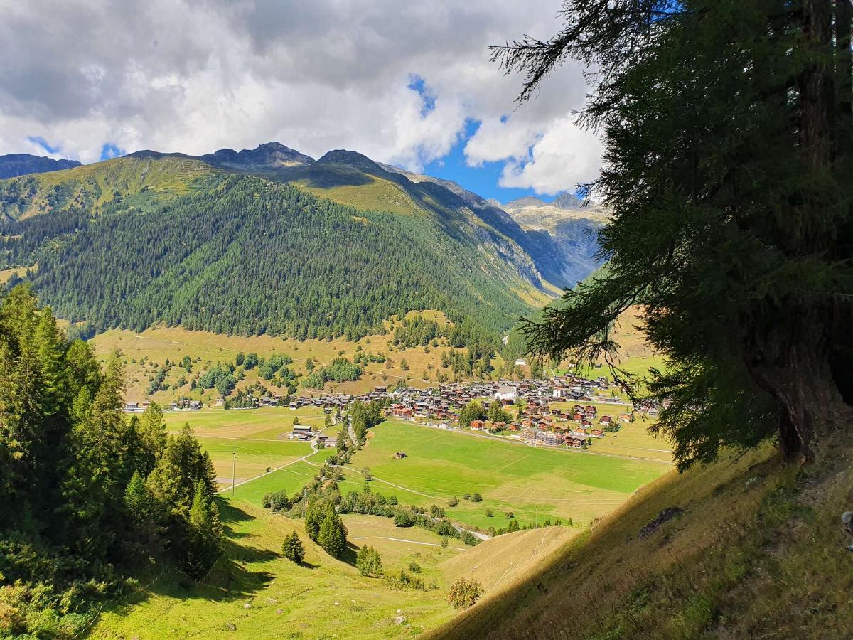
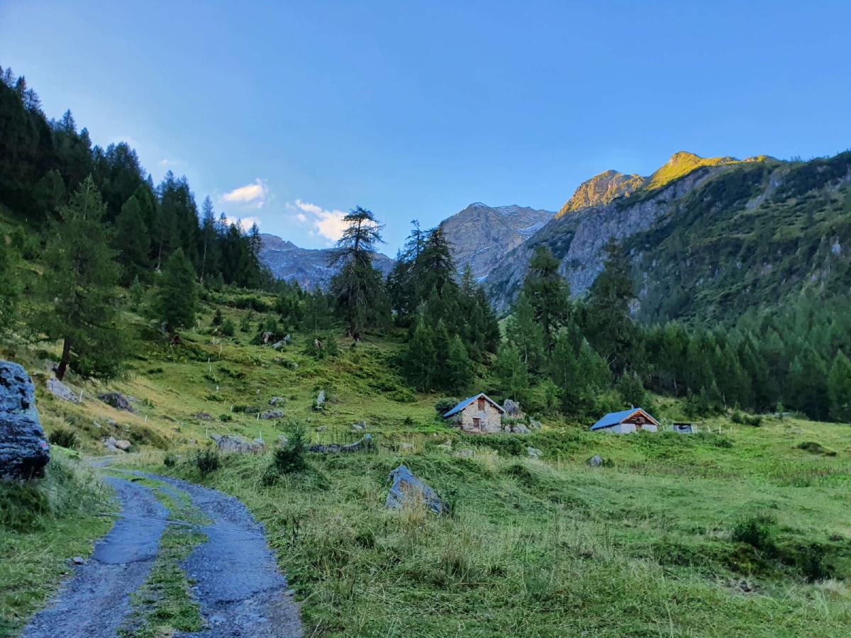
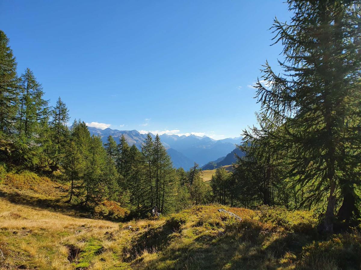
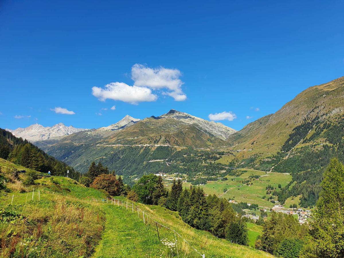
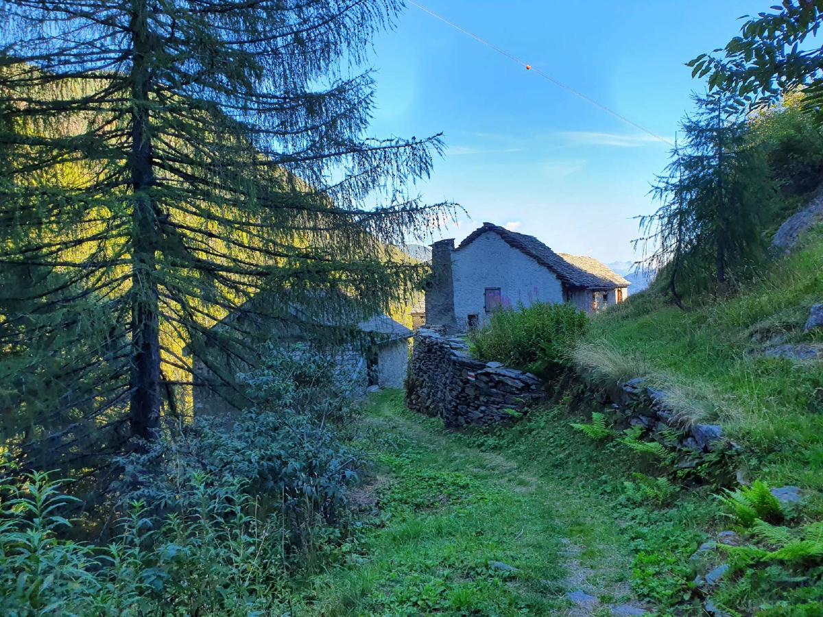
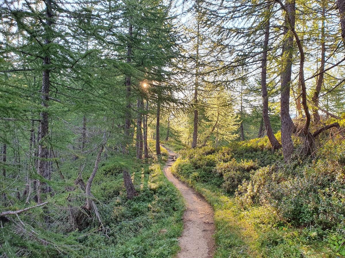
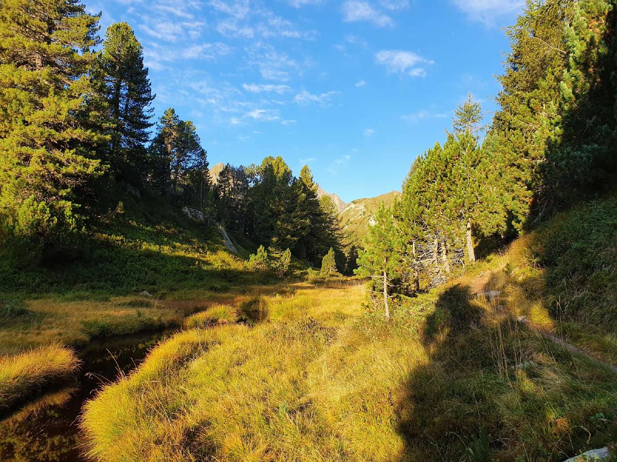
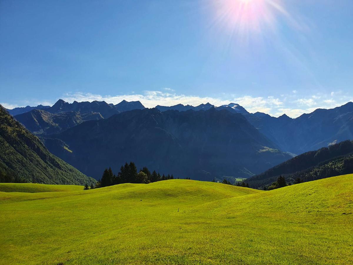
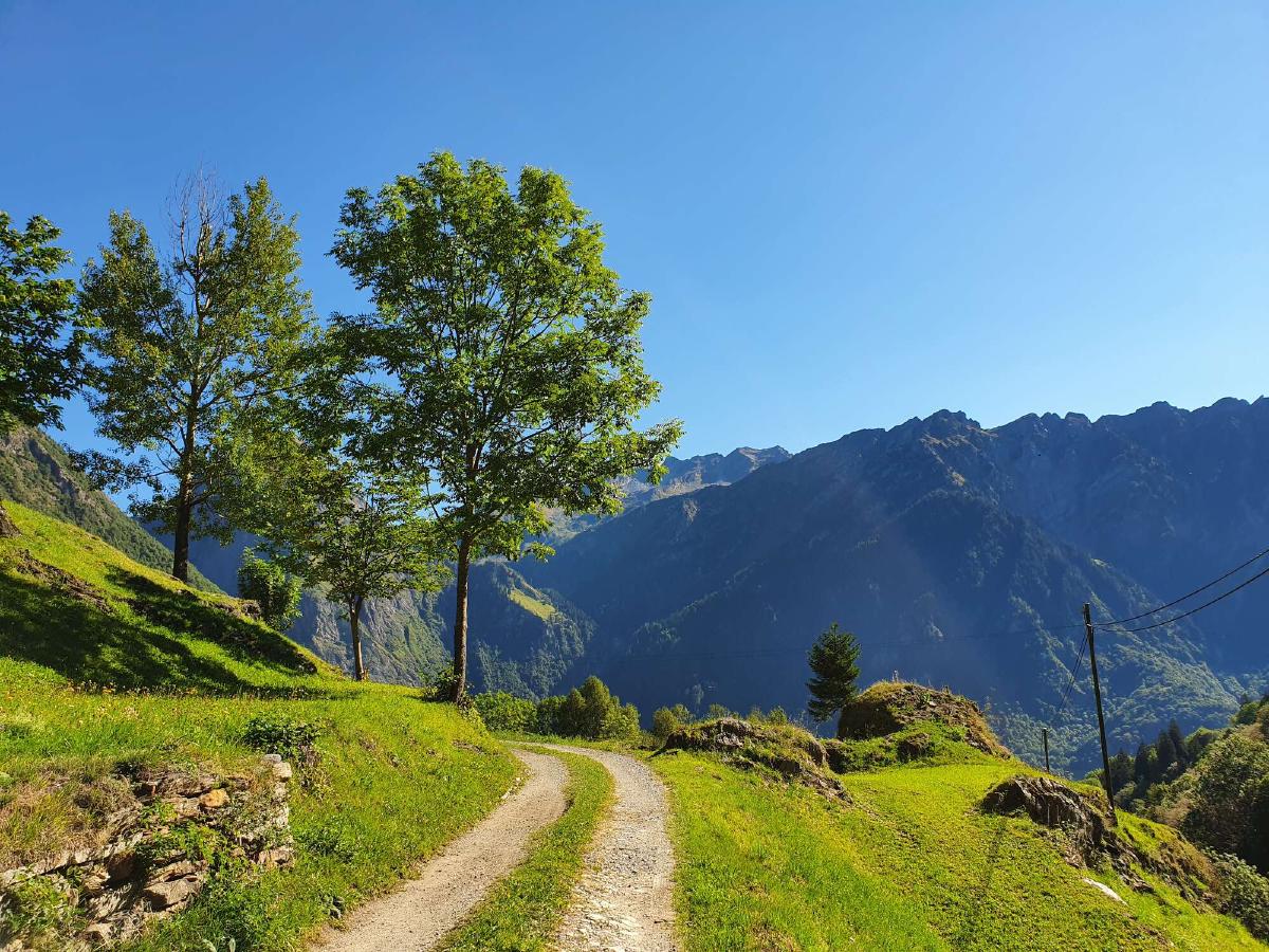
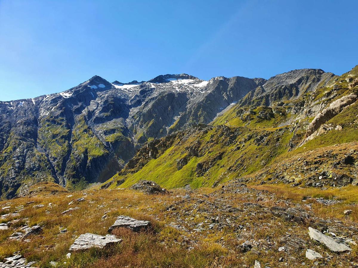
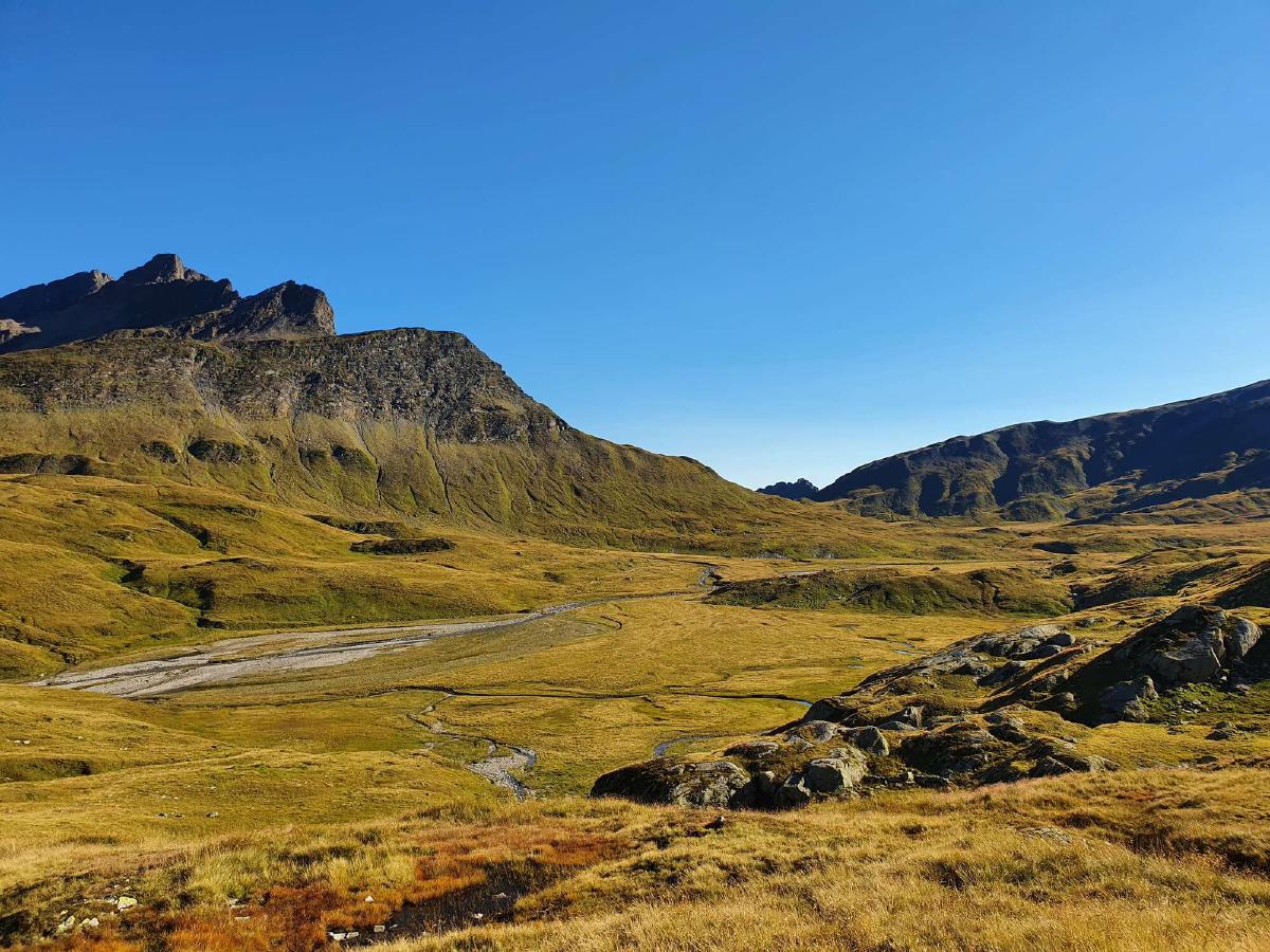
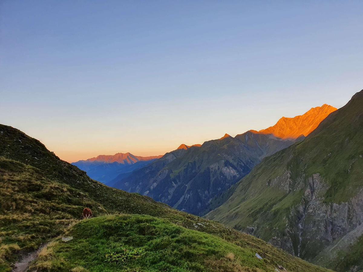
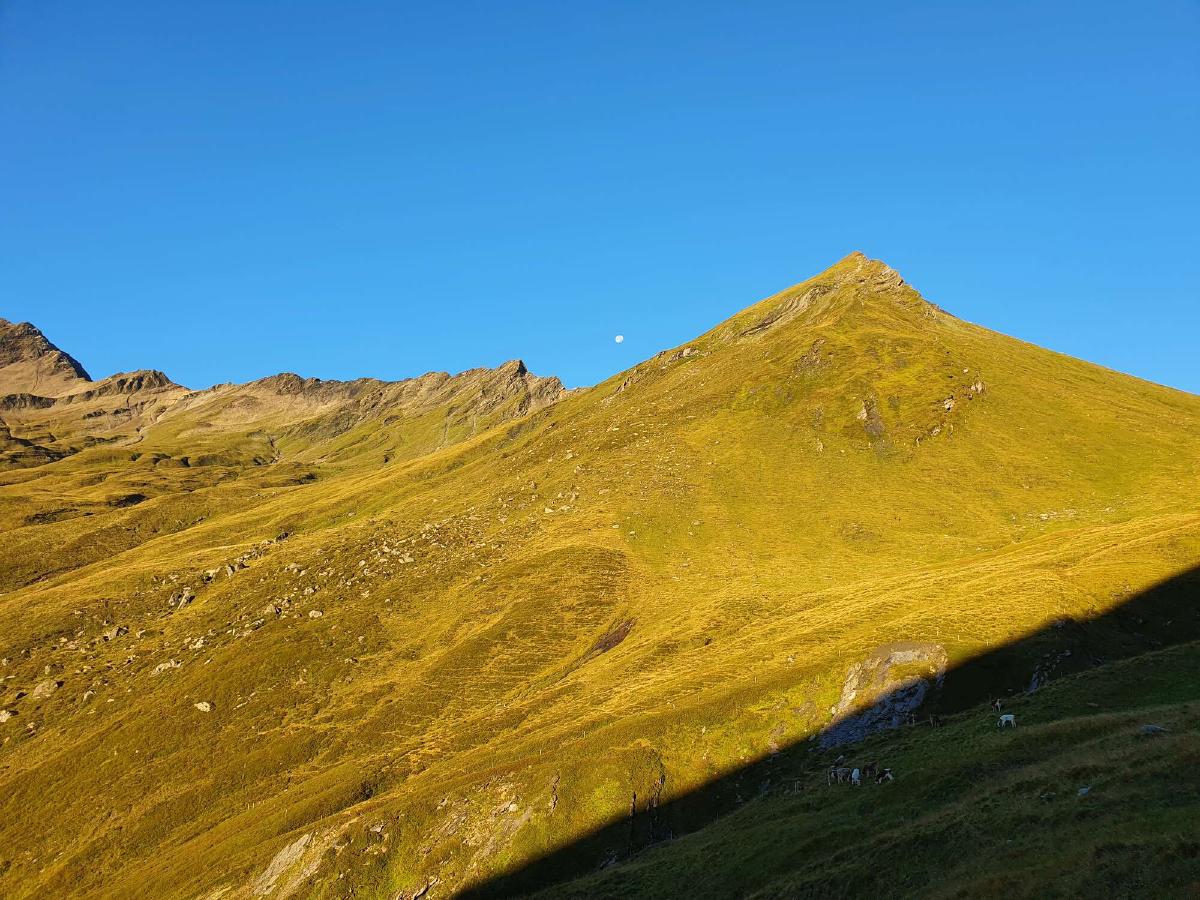
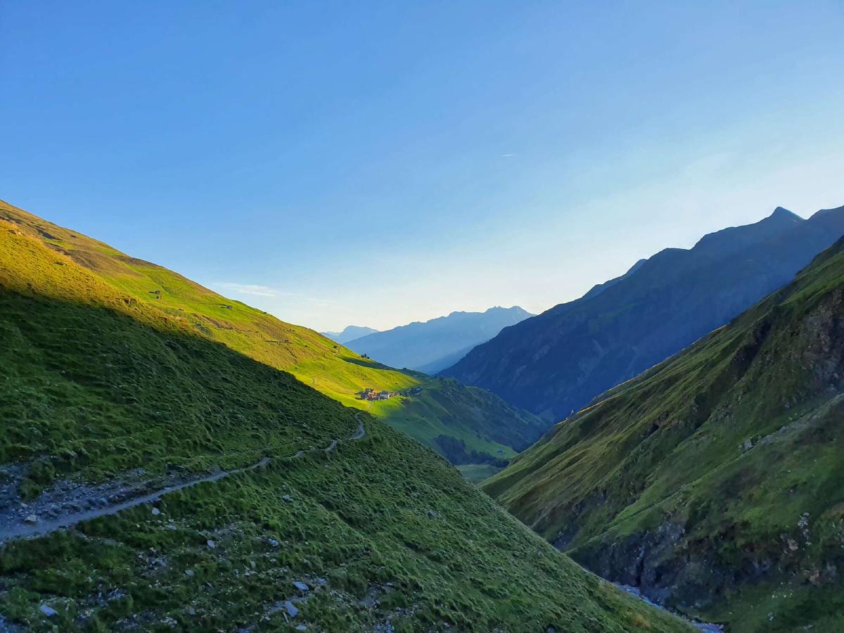
Day 10 (29.08.2020): Zinal - Jungu
Distance: 33 km; Ascent: 2'734 m; Descent: 2'146 m
I stand in the rain. The bus should have arrived five minutes ago. Did I leave the hotel lobby too late and miss it? I look at the departure table again. The next bus won’t arrive until noon. I nervously pace back and forth across the parking lot, looking up towards the road whenever I hear a car. It’s already past nine in the morning and I have a long day of hiking ahead of me.
The bus finally arrives with almost ten minutes of delay. So much for Swiss punctuality. I guess things have a different rhythm up here.
I’m hoping to get over the last two high passes today, the Meidpass and the Augstbordpass, before the snow that is forecast for tomorrow. However, the timetable of the bus to Zinal has forced me to a late start and with the challenging conditions, I’m still not certain whether I can make it.
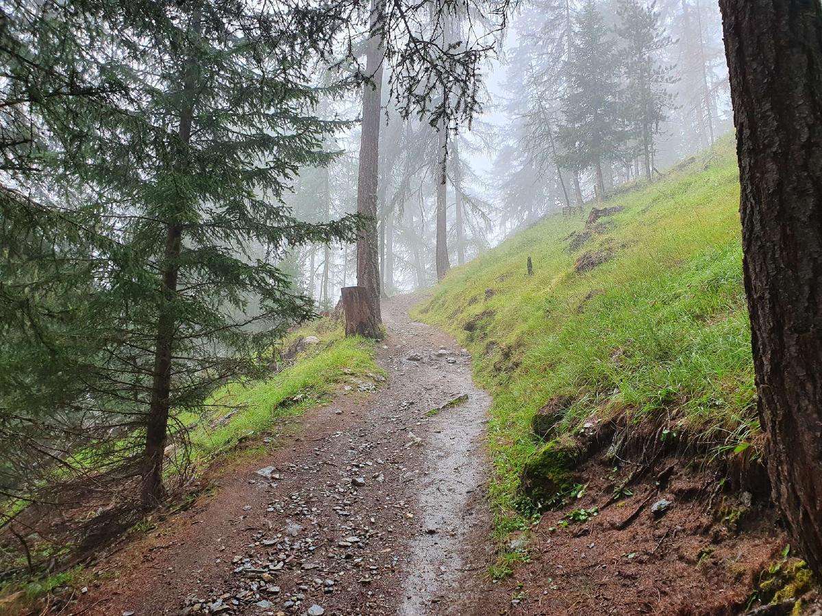
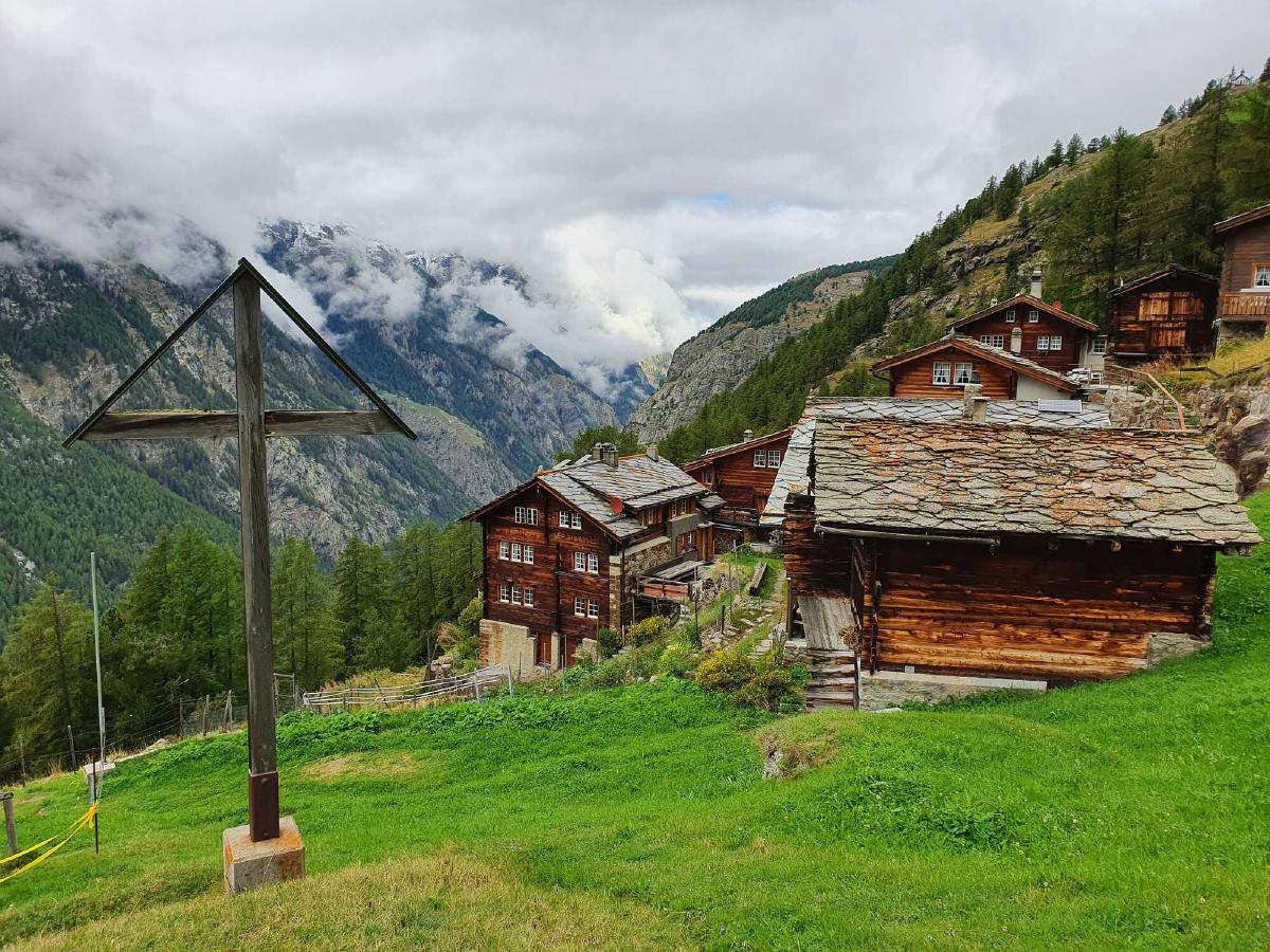
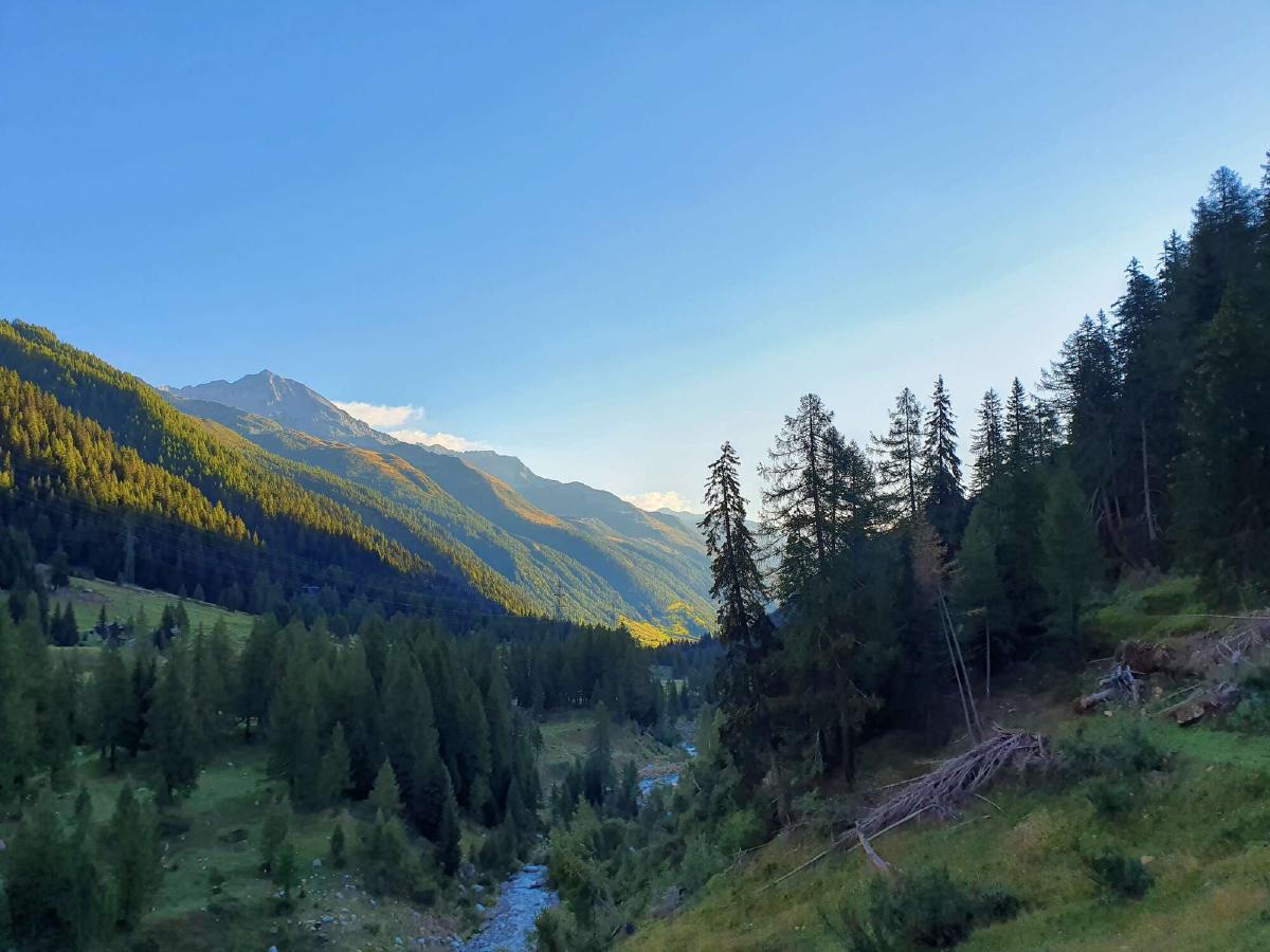
The trail between Zinal and the Hotel Weisshorn coincides with the course of the Sierre-Zinal race. I don’t mind it too much since it would probably be a pretty lonely day otherwise. Every once in a while I step aside to let a runner pass and some of them ask me how much further it is or whether they’re still on the right path.
After some time my hands get really cold from the rain and wind. For a while, I just grit my teeth and try to ignore it, but when I want to eat a candy bar my fingers are too numb to open it. At this point, I really regret not bringing any waterproof gloves with me. At least my rainjacket has pockets where I can thaw out my hands, but obviously I can’t then use my trekking poles at the same time.
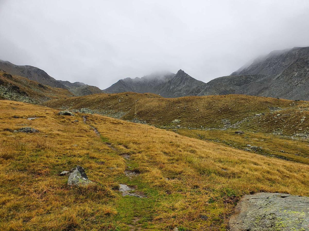
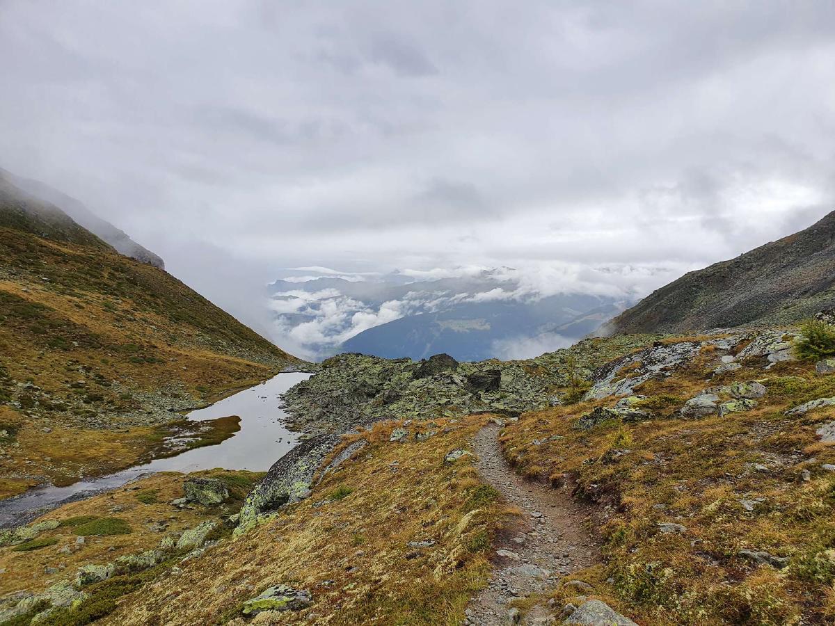
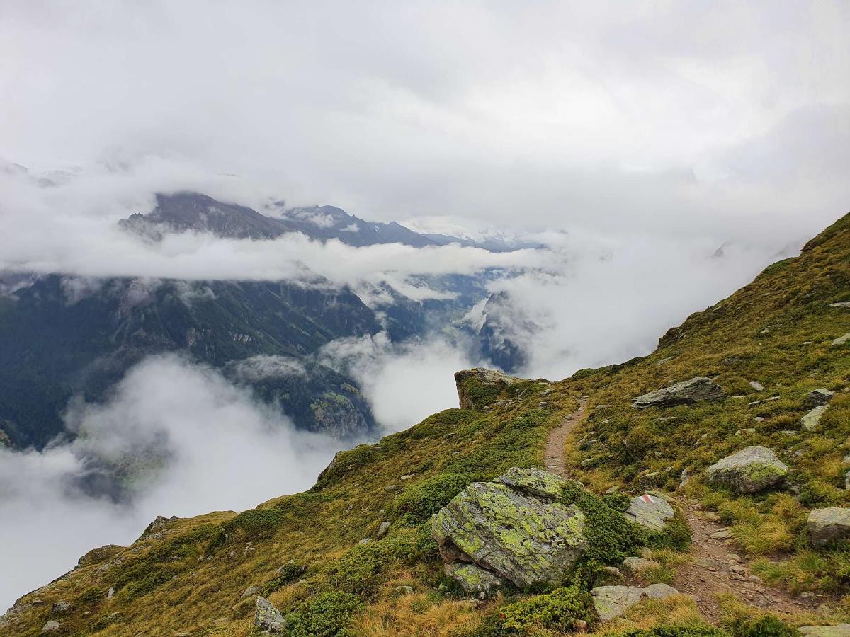
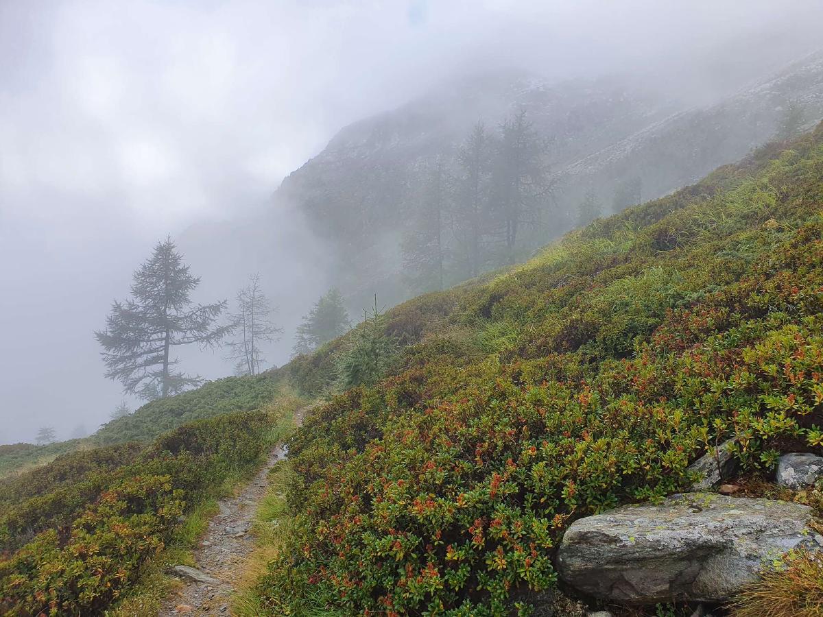
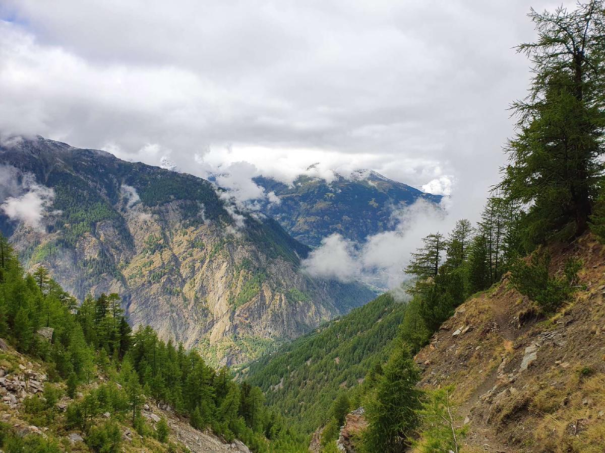
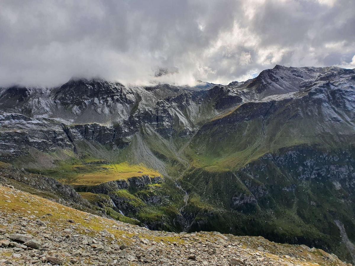
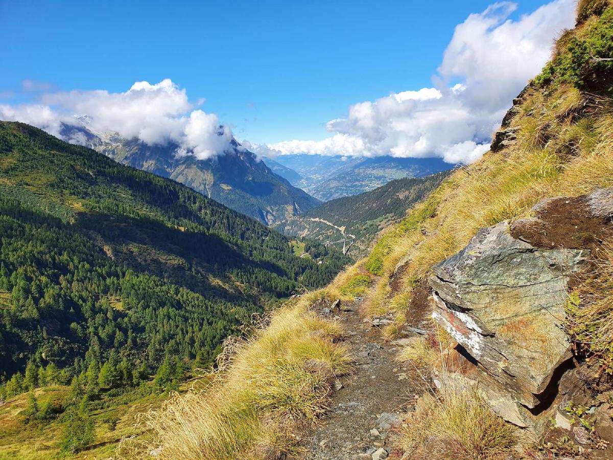
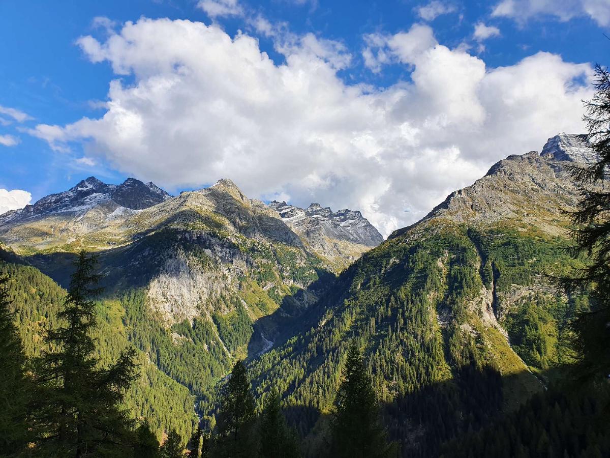
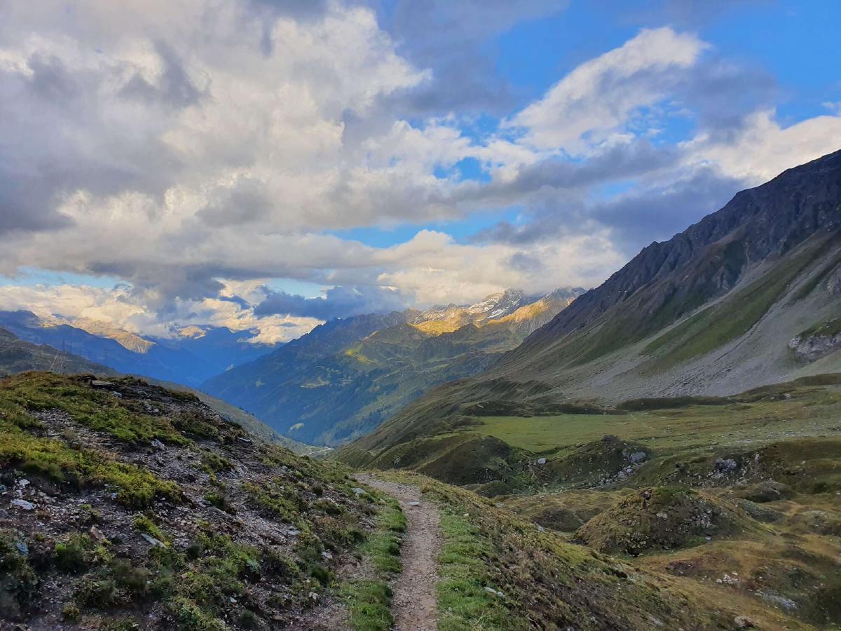
As I get closer to the top of the pass the rain turns to sleet and I hurry to get up and over it. Thankfully the weather is a bit better in the Turtmann valley: hardly any fog and there are even a few stretches without any rain.
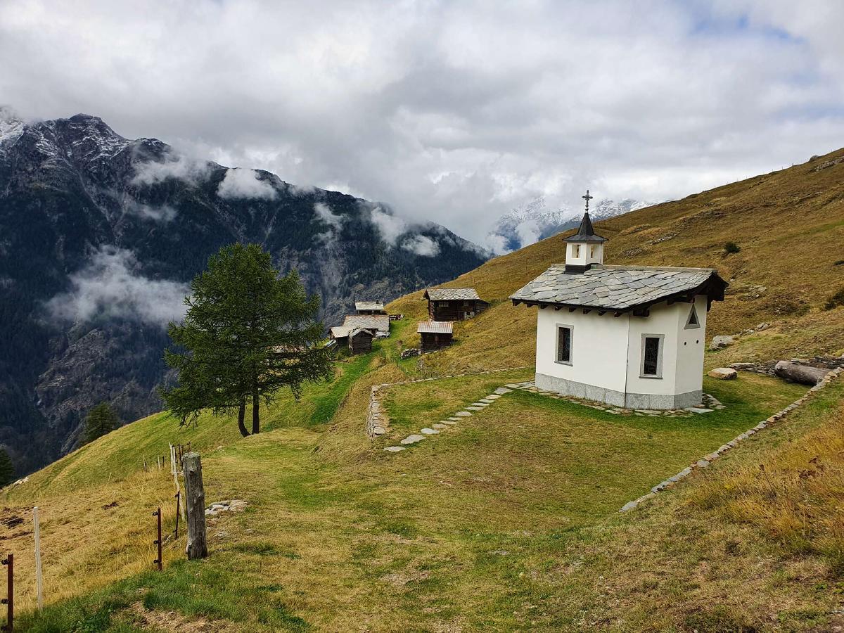
I arrive in Gruben at around three in the afternoon, which is sooner than I expected. I haven’t eaten anything but snacks since breakfast, so I seek shelter from the rain on the porch of the little church and have a late lunch. Since I made such good time over the first pass, I decide to also tackle the second one.
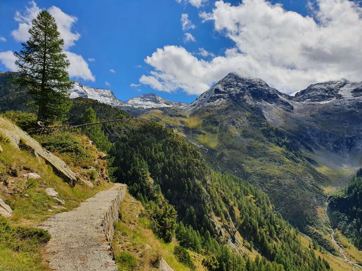
It seems like I ate too much, as I feel slightly nauseous climbing out of the valley. Thankfully the discomfort passes after a while. I cross paths with two of the few hikers that are out today. They tell me that there’s no snow up on the pass, which I’m certainly glad to hear.
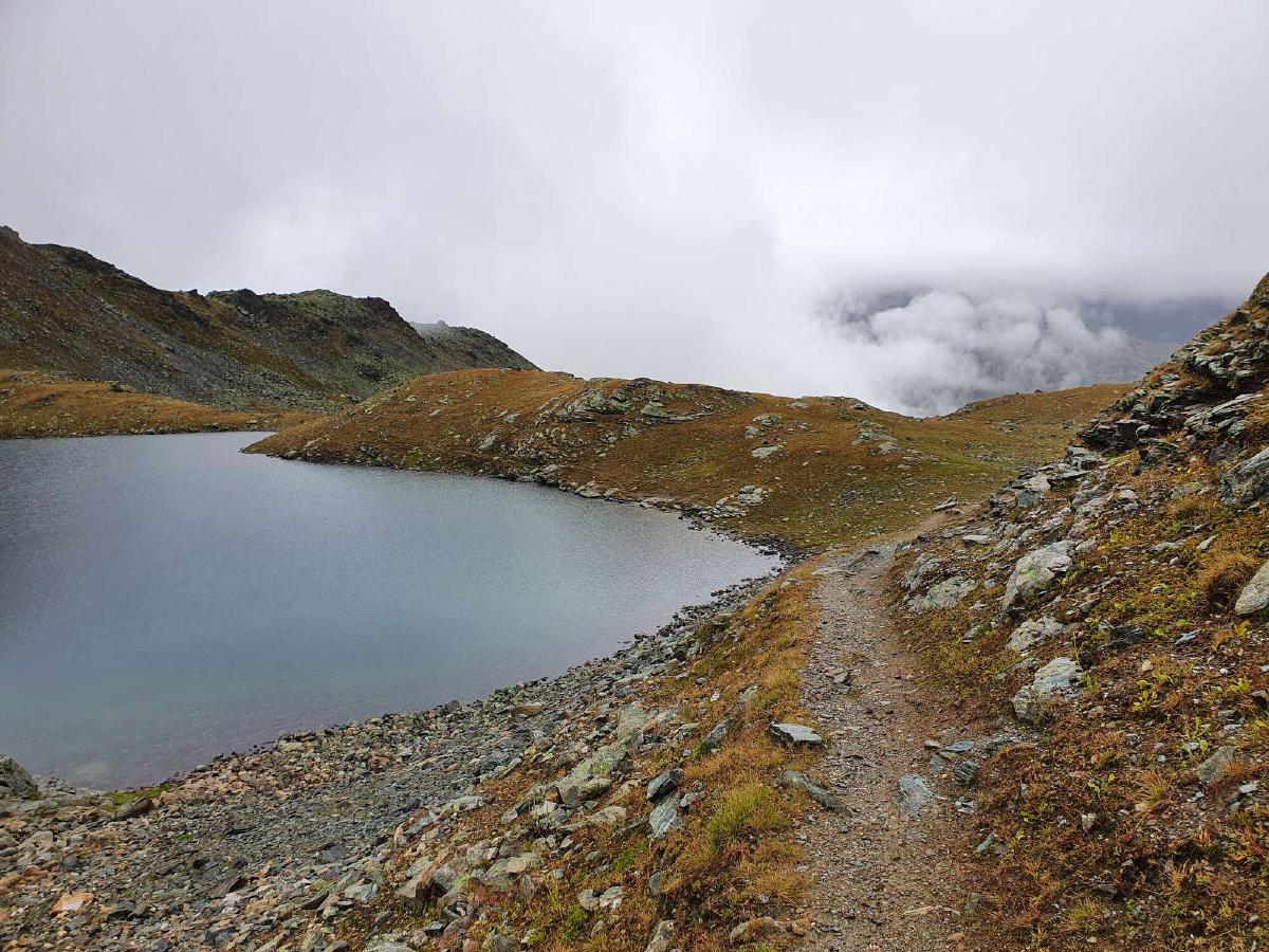
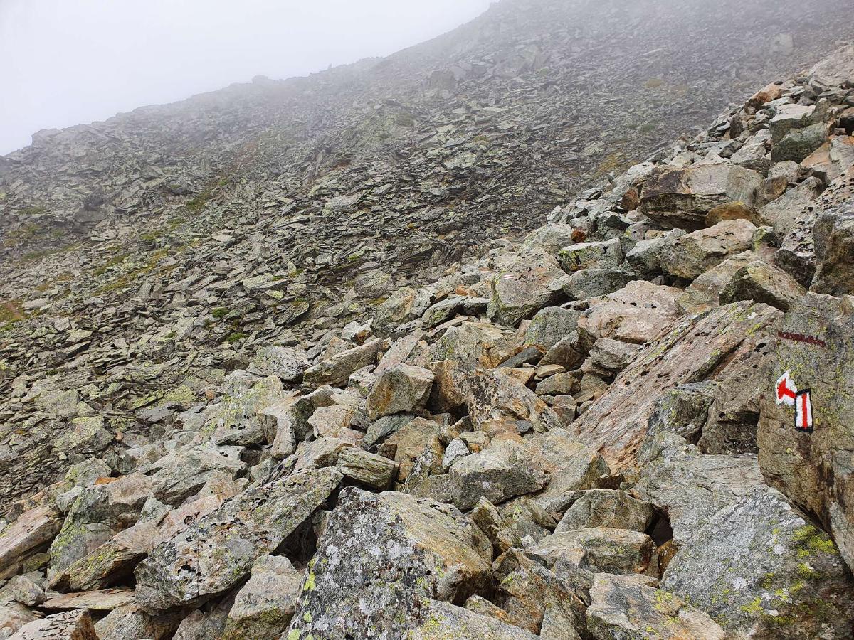
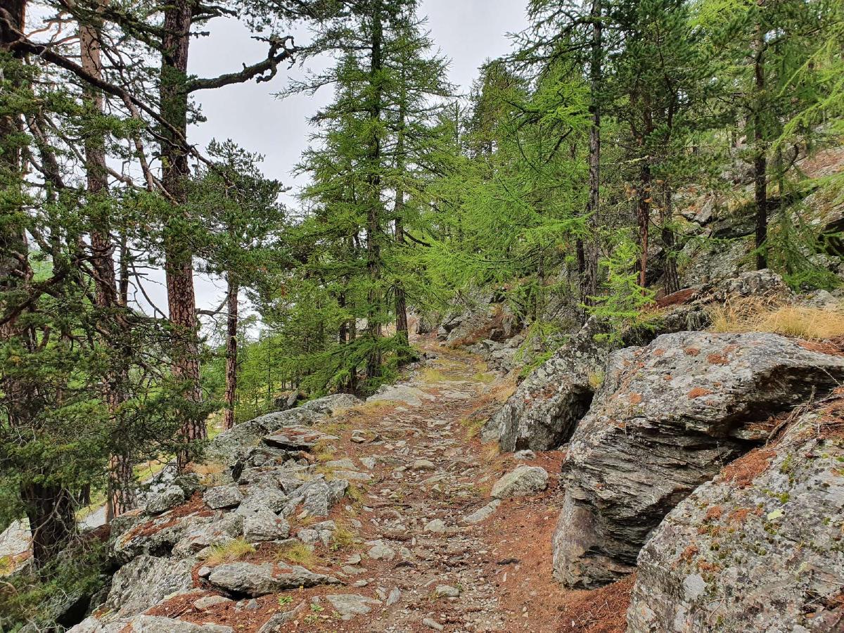
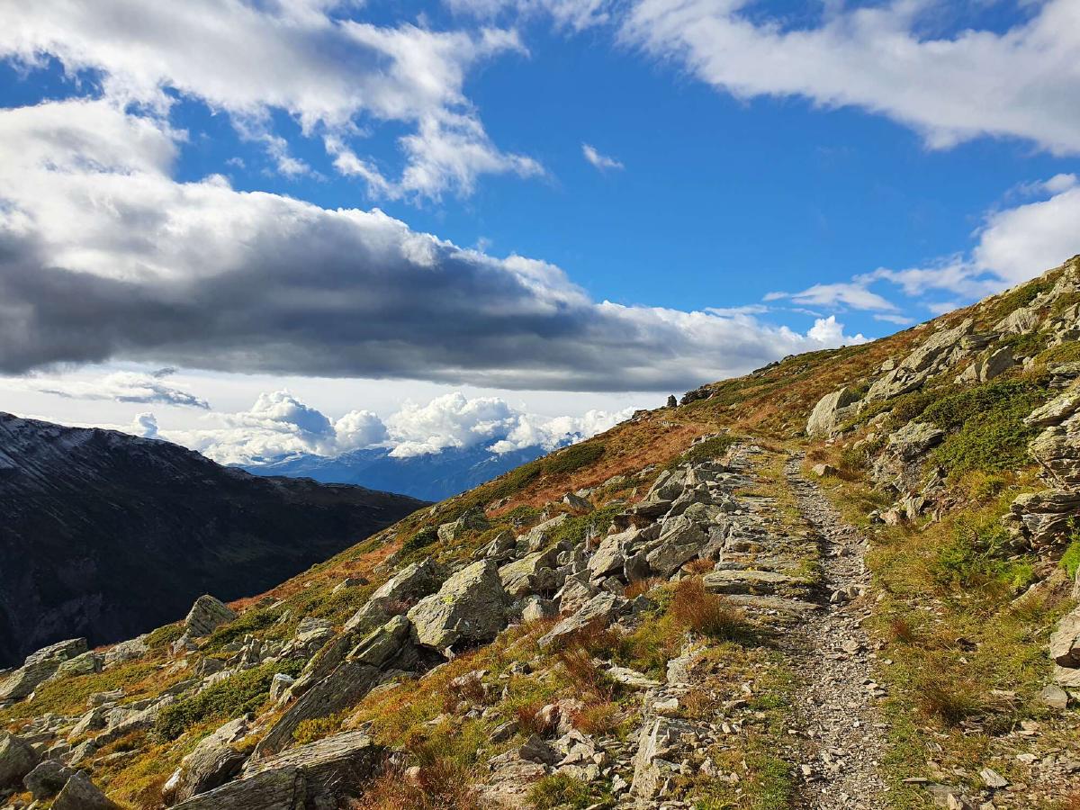
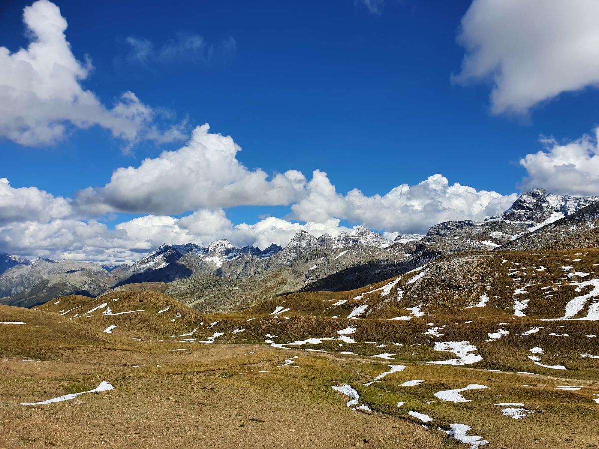
Close to the top, there’s a slightly challenging passage. I get through without problems, but I can only imagine how dangerous it would be tomorrow with fresh snow. The same goes for the large talus field the trail crosses on the other side of the pass.
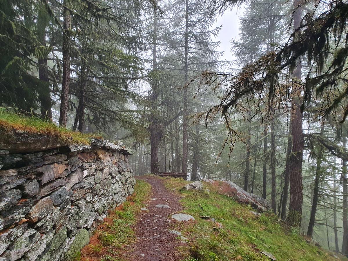
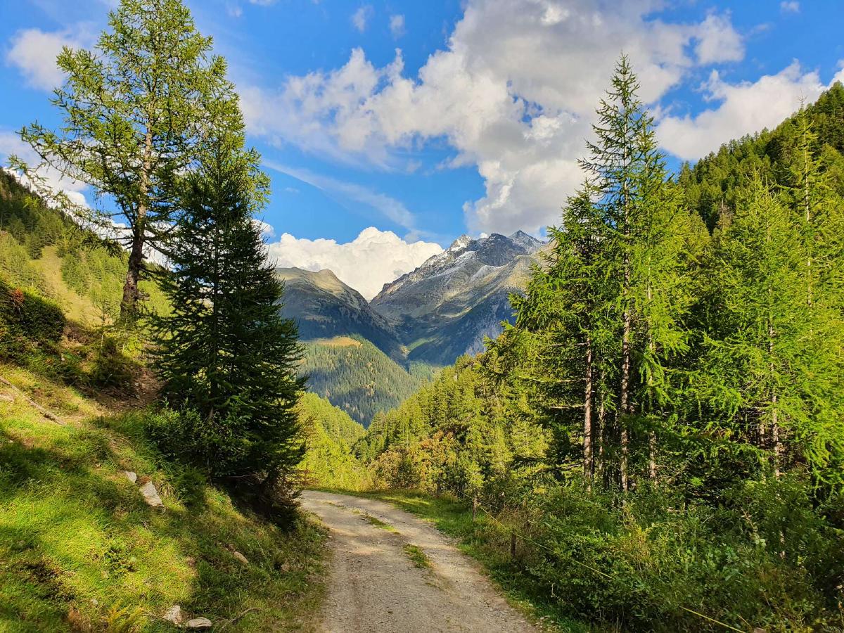
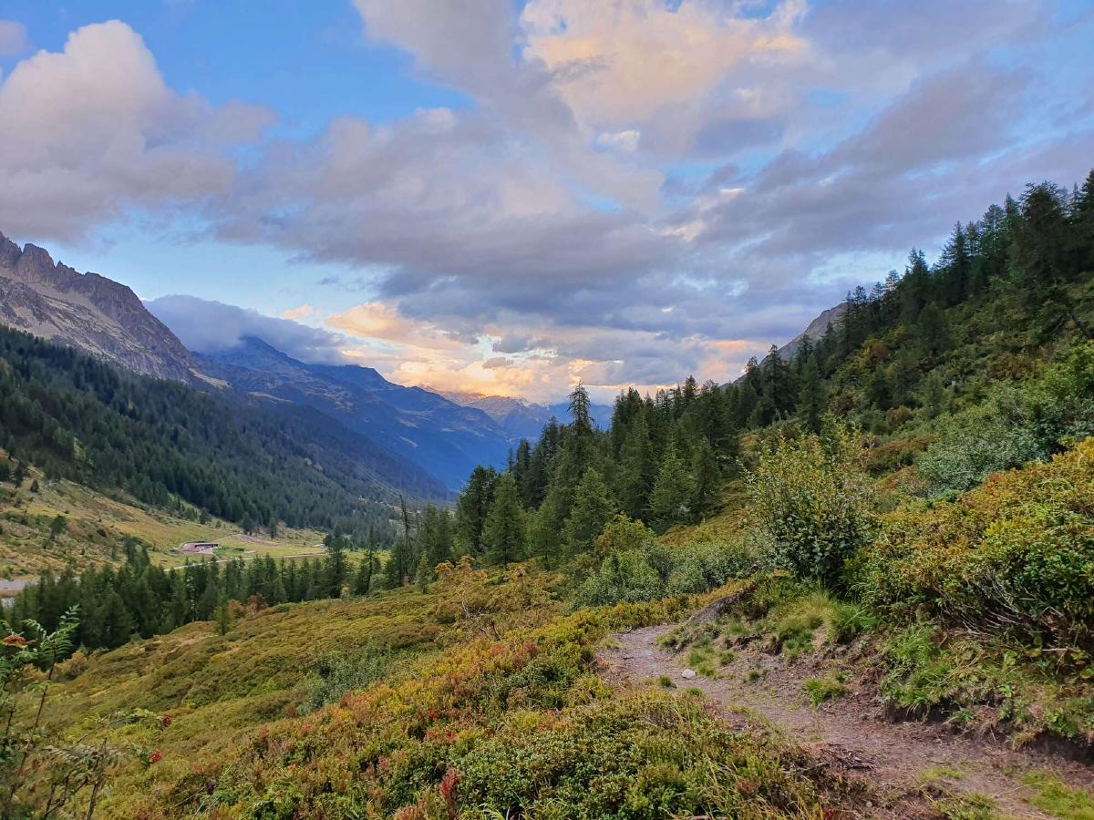
I start to feel tired, it has already been a long day and because of the constant rain I hardly took any breaks. But because of the bad weather forecast for the night, I keep going to at least reach the protection of the treeline.
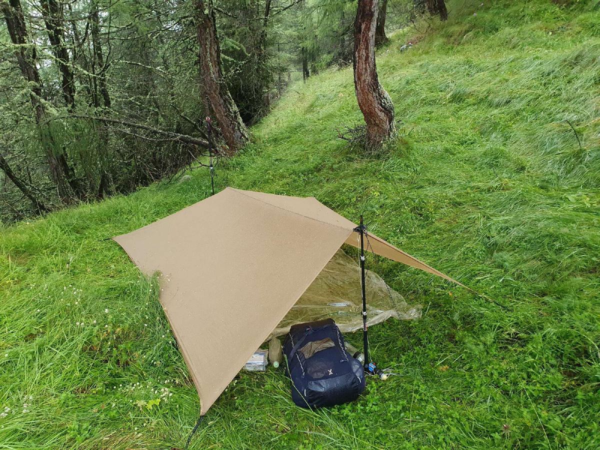
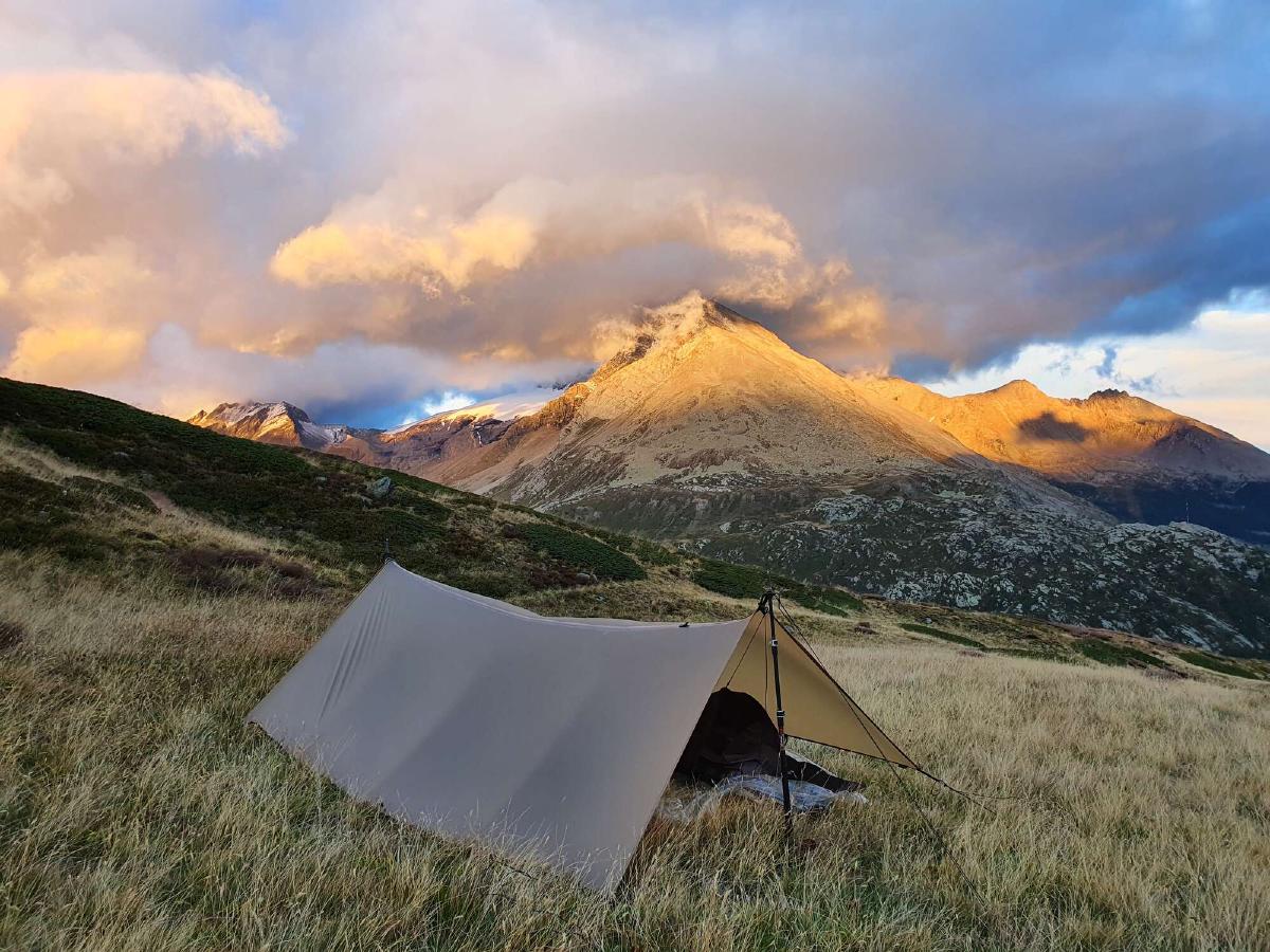
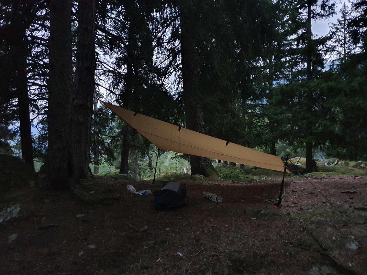
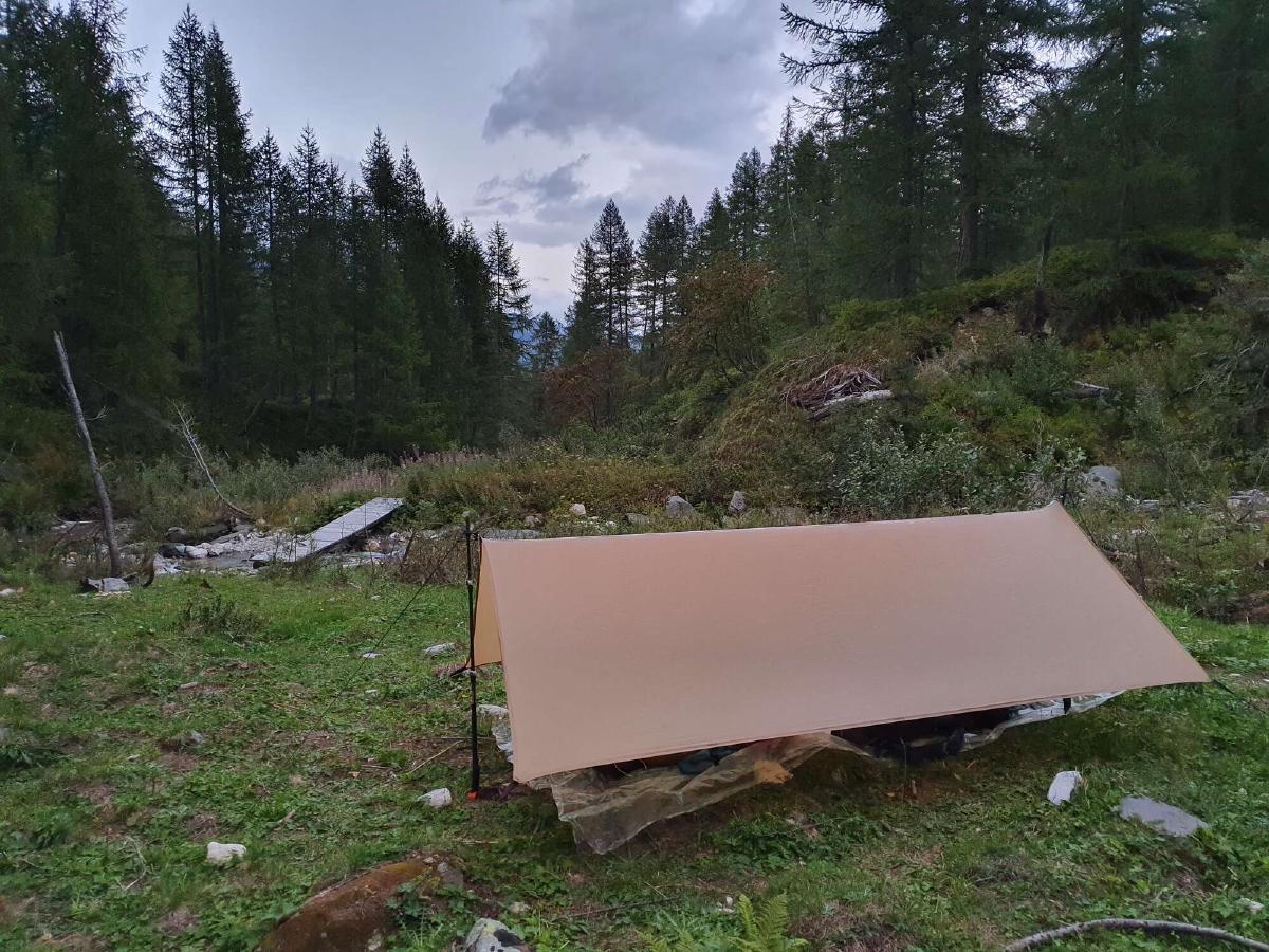
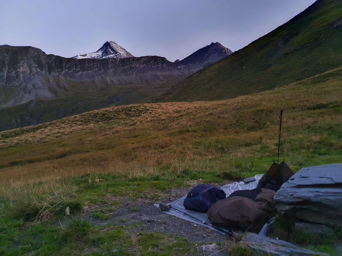
There’s already a tent set up near the trail in the first forest I reach. I ask one of the guys if I can camp next to them and he kindly points me to an even better spot a few meters away. It’s still not a perfect campsite by any measure, but I’m too exhausted to look any further. Finally, I can get out of my soaking wet clothes and into my warm and dry quilt, happy with the day’s achievement.
Day 11 (30.08.2020): Jungu - Saas-Grund
Distance: 34 km; Ascent: 2'048 m; Descent: 2'741 m
When I wake up after a restful night, everything is wet. It seems like the moisture from the grass below me and the clouds around me condensed on the underside of my tarp and was then knocked into a fine mist by the falling rain drops. Since there’s no way that I can dry out my quilt with the rain and snow that’s forecast all day, I reluctantly decide to get another hotel room for tonight.
It takes me longer than usual to get going, as I’m not very excited about leaving my damp but warm quilt. At least I now have a real bed to look forward to and when I finally get underway the rain even subsides a little.
The familiar descent into St. Niklaus passes quickly, but the real work only starts from there. The climb to Grächen seems to drag on forever as the trail often follows unscenic roads with any potential views hidden by the fog. In addition the rain is constantly getting stronger and the temperature falls as I get higher. When I reach Grächen I have to take shelter from the heavy downpour to check the map on my phone. I notice that there’s a restaurant up ahead and decide to make a run for it before the weather gets any worse.
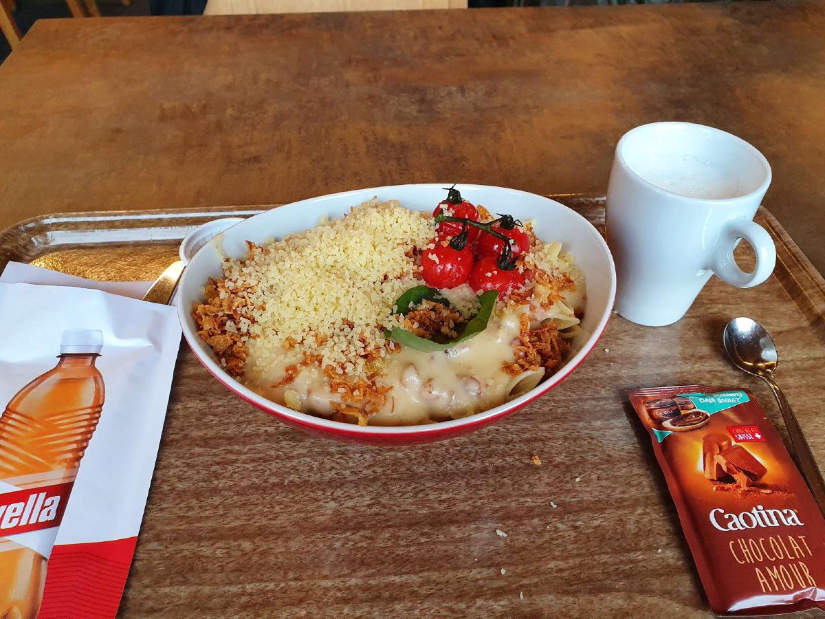
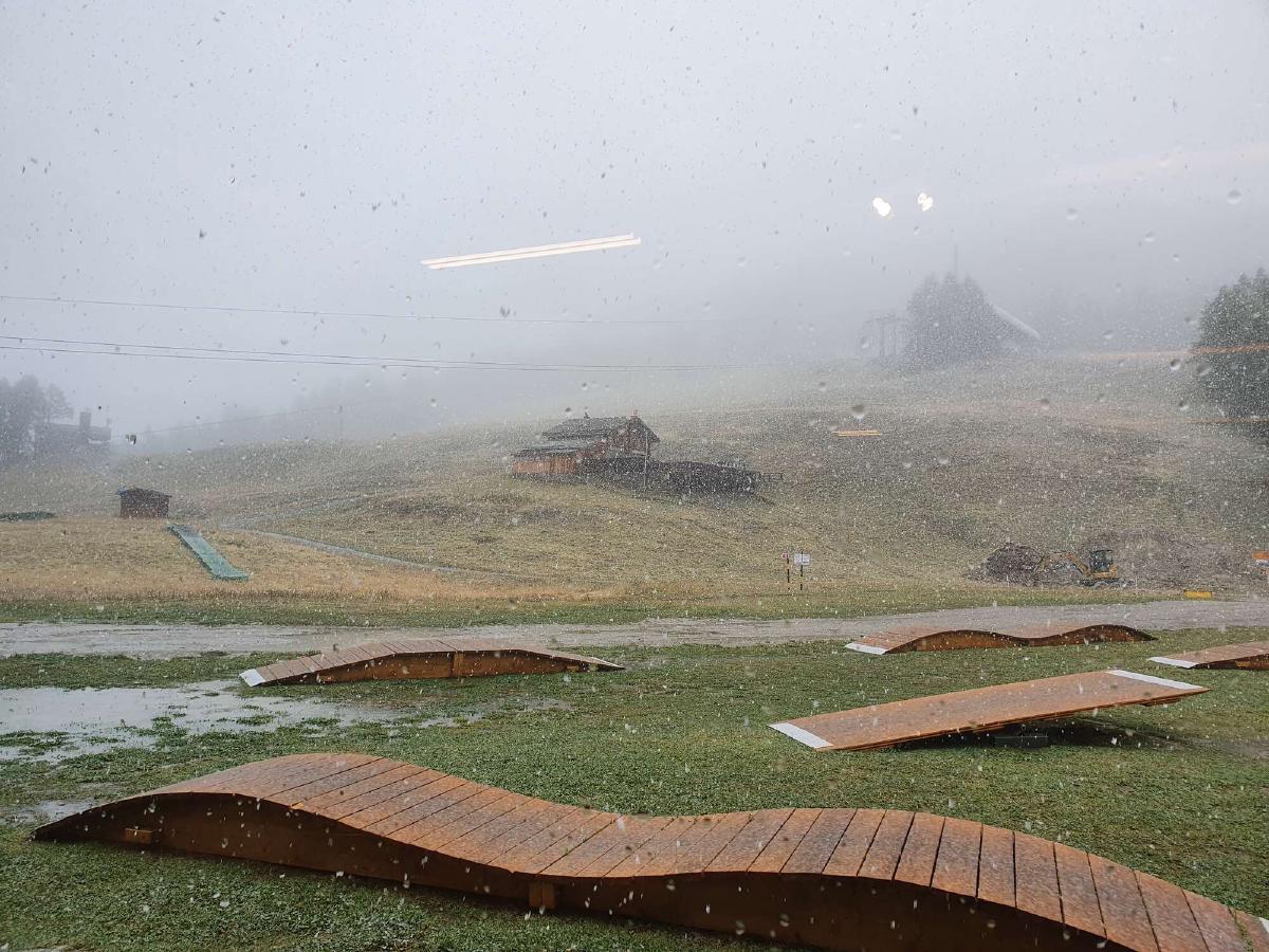
The ascent is a real struggle but finally I stumble into the warm and dry restaurant. There are a few other people inside, but they all look like they took the gondola to get up here. Even though the meal I get doesn’t taste great, the fact that it’s warm alone is a huge morale booster. While I’m eating, the rain outside turns into snow and a white layer begins to form.
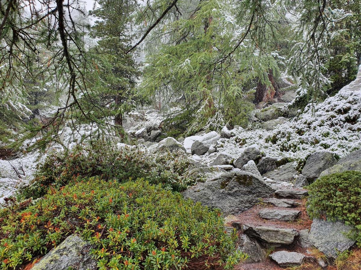
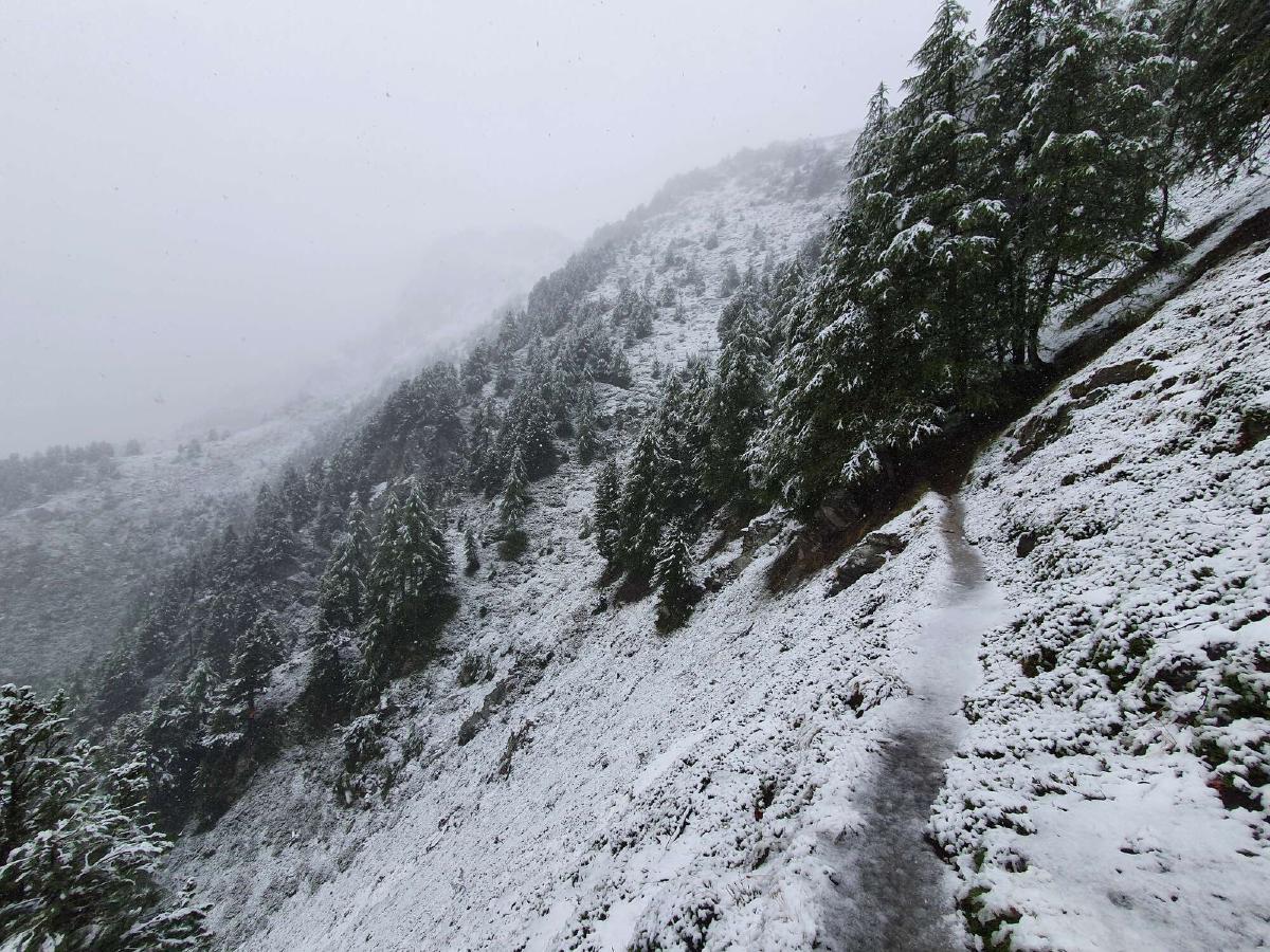
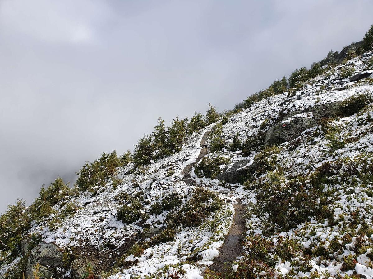
Coming from the warmth of the restaurant, the cold air outside momentarily takes my breath away. After a lot of road walking in the morning, the trail finally turns into singletrack from here on out. With the current conditions however, this means that I constantly have to walk through frigid slushy puddles and watch out for roots and rocks concealed by the snow. I try to make the best of it and deep down I know that this is exactly the experience I came here for.
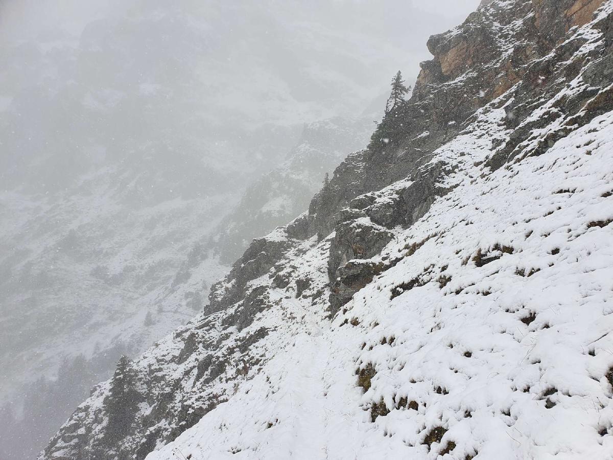
The upside of the miserable weather is that there are no other people around, on what I imagine to be an otherwise popular section of trail. Instead, a lot of wildlife is around. I see a couple of chamois and a whole bunch of ibex, sometimes less than fifty meters away.
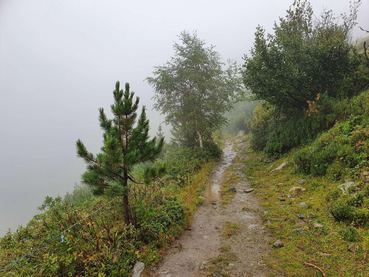
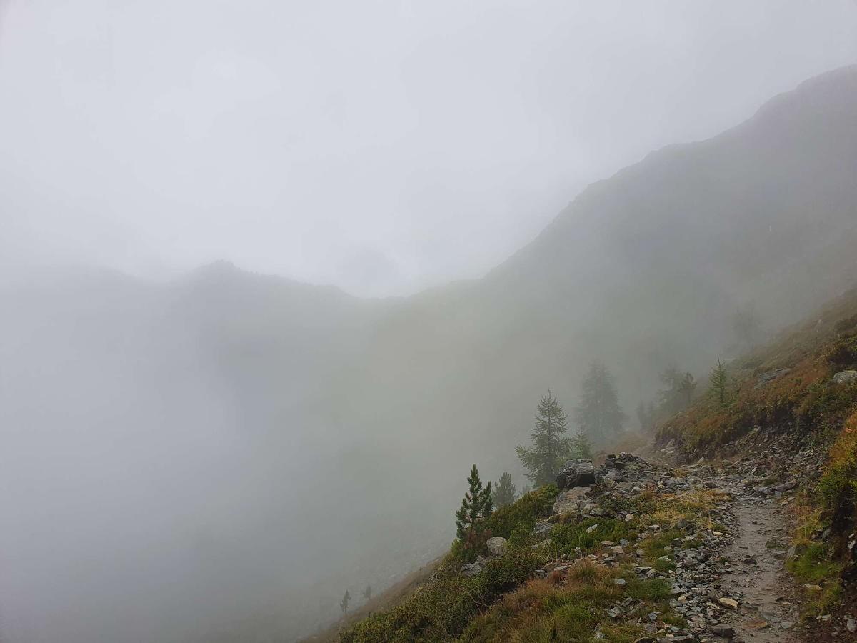
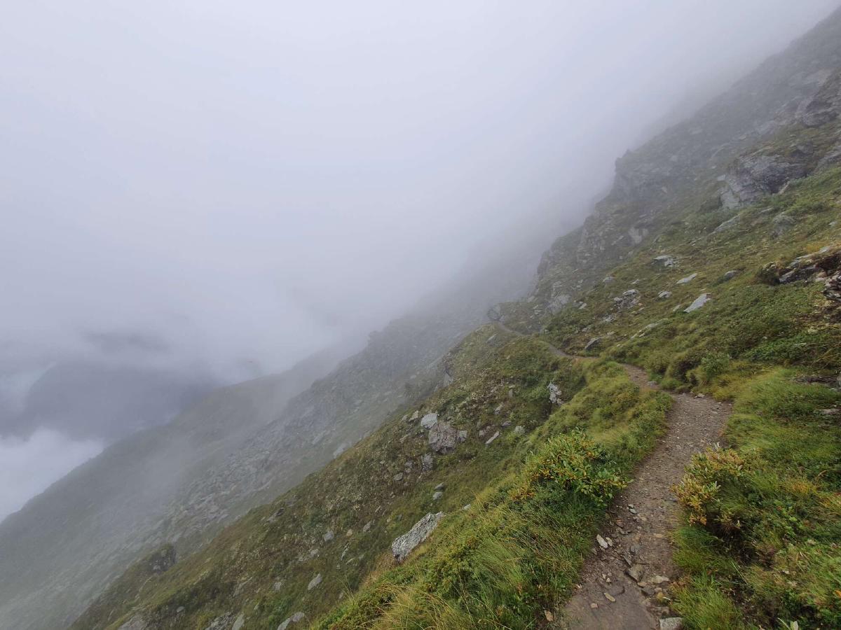
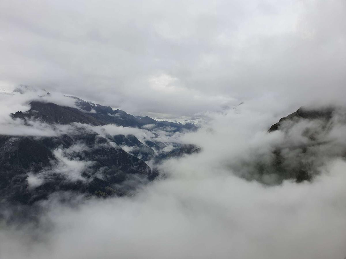
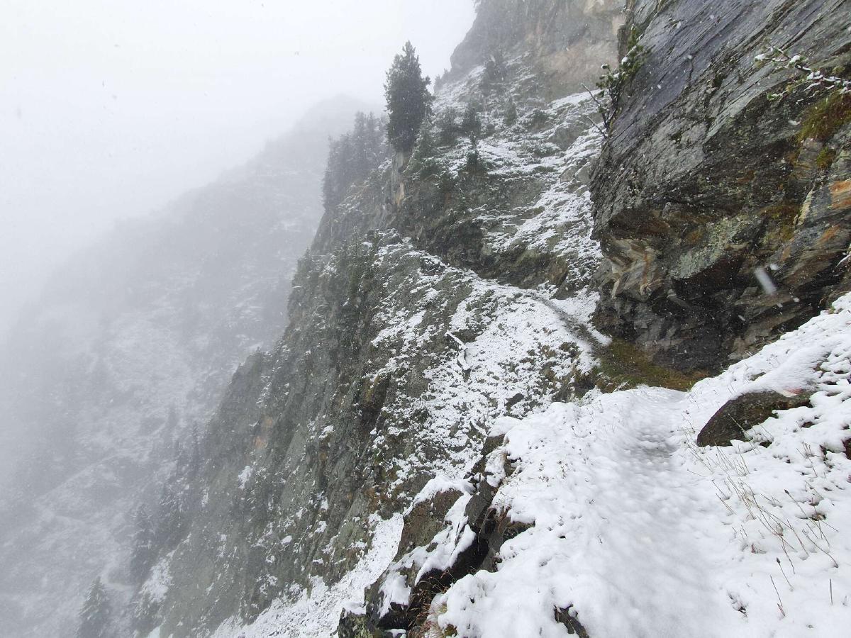
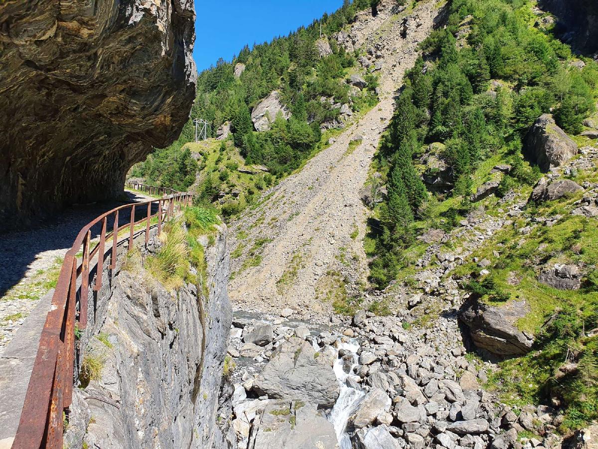
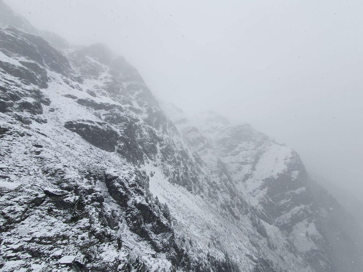
There’s a good reason that I’m alone though. The trail is often very narrow and exposed. Due to the fog, I don’t even see the bottom of the steep drop right next to me.
A sign warns of a section with rockfall ahead. I carefully move forward, listening for any activity. A rock plummets down a couloir just in front of me. After waiting for the dust to settle, I try to move across as quickly as possible. The loose ground doesn’t make this easy, but thankfully I get out of the couloir safely. Before I round the next corner, I can already hear the next rock coming down behind me.
The close call makes me lose focus for a second. I trip over a rock and fall forward, staring into the white abyss below me. I catch myself right on the edge of the trail. Knowing that there’s no other way out than forward, I get back up and continue walking. Instead of dwelling on what could have happened, I direct all my attention to the trail ahead of me.
After a while, the intensity of the trail begins to ease up, and I find comfort knowing that the worst is behind me. It stops snowing and for a few moments the sun even shows up through the clouds, lifting both my spirit and the temperature.
I reach Saas-Grund just in time before the supermarket closes, so I’m able to resupply and then check into my hotel. I’m glad for the warm bed, but I’m also really looking forward to sleeping under the stars again.
Day 12 (31.08.2020): Saas-Grund - Bistinenpass
Distance: 34 km; Ascent: 1'964 m; Descent: 1'353 m
I don’t want to get out of bed when the alarm rings. I planned to pack everything before breakfast, but when the buffet opens, my room still has gear strewn out everywhere. There’s a small but nice selection of foods, and I end up stuffing myself for more than an hour as other guests come and go. Once I finally got everything taken care of and I’m ready to check out, it’s already half-past nine.
It’s still a bit chilly when I start hiking, but I slowly warm up. More importantly though, there’s no rain or snow in the forecast for the foreseeable future. The trail out of Saas-Grund is also very pleasant to walk on, especially compared to yesterday’s perils. There are peaceful forests, nice views into the valley below and picturesque hamlets typical for the region.
Shortly before reaching Gspon, I take a lunch break. Because of the late start, I haven’t made as much progress as I typically do by noon. I also feel lonely and unmotivated. Maybe it’s because I’m under the impression that I have left behind the most stunning, exciting and challenging parts of the journey and all that’s left is comparatively boring.
To get out of my rut, I try calling my best friend and my brother. Neither of them answers, so I fall back on listening to an audiobook to distract me. It also helps that the trail towards the Gibidumpass is easy going and offers some nice views.
After the pass however, the trail follows one side of the valley all the way to the back in a straight line. There are also a lot of cold puddles right on the path. It seems like it’s taking me forever. Eventually though I do reach the end of the valley and my mood starts to improve. The trail gets more interesting and I start looking forward to reaching the next pass.
Once there, I’m happy to finally see some new scenery. I also get cell reception again, allowing me to call back my flatmates. It feels good to hear their voices and they encourage me after I tell them of my struggles.
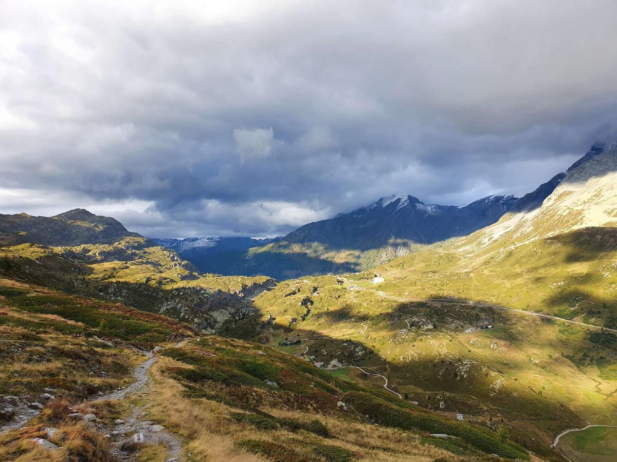
On the way down towards the Simplon pass, there are a lot of flat meadows where I could pitch my tarp, but because of the wind I’m hoping to find a more sheltered spot. Eventually, I come within view of the plateau, which seems to be too densely populated to offer any private campsites. As it’s already quite late, I decide to turn around and settle for the first acceptable spot. My attempt to block the wind with my tarp is mostly in vain, but once I get into my quilt and bivy bag I’m relatively comfortable.
Day 13 (01.09.2020): Bistinenpass - Ernen
Distance: 45 km; Ascent: 1'983 m; Descent: 2'902 m
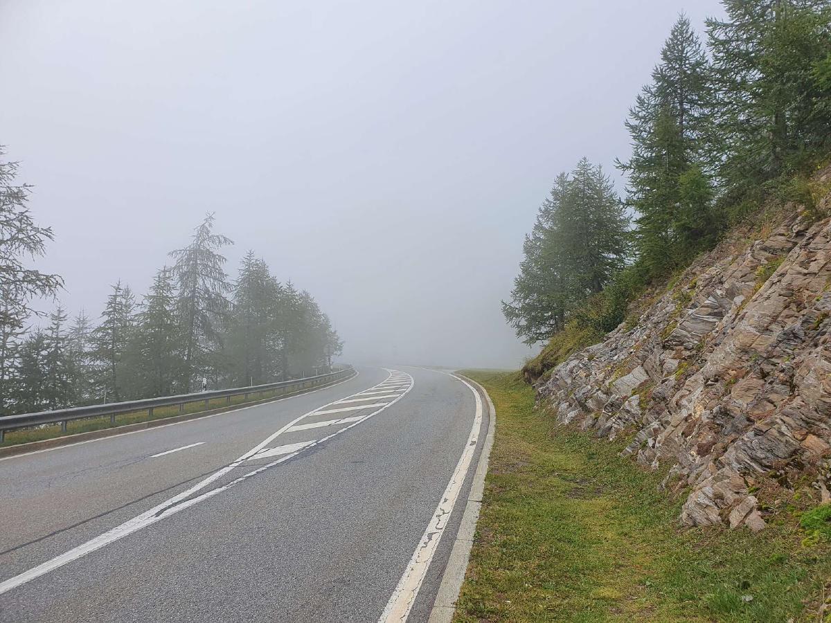
In the morning it’s cold and my quilt is damp from condensation. Instead of eating breakfast, I pack my gear and try to get going as fast as possible. Once I start hiking, I quickly get warm. The trail starts out quite pleasantly, but after reaching the pass it just follows the busy road. At the same time, some fog rolls in, making the mood even more depressing.
Luckily, this doesn’t continue the entire morning, and after a while I leave both the road and the fog behind. The trail meanders through alpine meadows and forests right at the edge of the treeline, making for an enjoyable but unremarkable hike.
During my lunch break I lay out my wet stuff to dry in the sun, but I’m feeling restless and want to spend as little time as possible being stationary.
The next section of trail gets more interesting, with some narrow and exposed sections. It reminds me of my childhood when I went hiking in this region with my family.
After the little village of Rosswald, there’s a steep ascent up a ski slope. The sun is beating down. I take a quick break at a restaurant for ice cream and a cold beverage.
Even though I have now left the ski resort behind, the landscape stays bleak. The path towards the Saflischpass isn’t very steep but seems to drag on forever. I start to run low on water, with no stream in sight to replenish it. I guess I should have filled up my bottles back at the restaurant, but I didn’t want to carry too much weight over the pass.
It’s only after a significant descent into the valley that I come across some running water. By now my surroundings also start to look nicer. I walk through a meadow filled with marmots enjoying the last rays of sunshine.
As I get further down the valley, I start to worry about finding a place to sleep. There are steep slopes with a dense forest all around me. I leave the trail a few times to look for a flat spot, but don’t find anything satisfying.
After Binn, the trail follows the old road through the gorge. Before they built a tunnel, this used to be the only way to access the remote village. Nowadays, it’s just used by hikers and cyclists.
Multiple times I debate just sleeping next to this road, but always decide against it. As I start running out of options, I suddenly remember a forest playground from a childhood vacation in the area. I decide to keep going and try my luck there.
It’s already starting to get dark when I reach the forest. But because I have already eaten dinner and brushed my teeth on the way here, I now just have to hang up my tarp and can go to sleep.
Day 14 (02.09.2020): Ernen - Val Bedretto
Distance: 45 km; Ascent: 2'500 m; Descent: 2'043 m
Well rested, I wake up at first light. It’s just slightly chilly and there’s no condensation, so I’m able to get going very quickly. Soon I rejoin the official trail and on my way towards Ernen, full with anticipation for a big breakfast. Even though the path just follows a water channel, it still takes me longer than I expected. When I finally do reach the grocery store in town I stuff both myself and my backpack full of food.
The next part through the Goms valley is not very spectacular. The landscape is quite scenic, but the trail is mostly on roads. At some point I miss a turn, causing me to stay down in the valley next to the river. There is no protection from the midday sun. When I notice my mistake, I am more than eager to rejoin the official route at the edge of the forest. This trail is a lot nicer, shaded from the sun and with more varied terrain.
At Ulrichen, I take a small detour to a restaurant for a big bowl of ice cream. With renewed energy, I am now ready to tackle the last pass in the canton of Valais. Even though I have 1300 meters of elevation gain ahead of me, I feel like the best part of the day is just beginning.
The ascent starts off very pleasantly through the forest, with a nice comfortable slope. It then takes me all the way to the end of the valley, where a final steep push awaits me. By now there is some cloud cover and it’s starting to cool down, so I’m still able to make good time.
I reach the top at around six o’clock. It’s cold and windy up here, so I want to get down into the valley as far as possible. I take a quick break to have dinner and brush my teeth along the way so that I can quickly go to sleep once I find a suitable campsite.
I pass a few acceptable spots in hopes of finding a better one further down, but suddenly the terrain gets steep and overgrown. But with the help of the map on my phone, I am still able a good campsite a little ways off-trail.
Day 15 (03.09.2020): Val Bedretto - Passo del Sole
Distance: 42 km; Ascent: 2'271 m; Descent: 1'795 m
The night was cold and there’s some condensation. I eat breakfast still wrapped in my quilt, having trouble finding the motivation to start hiking. Nevertheless, I pack up and head back to the trail.
I had expected that the trail would take me straight down to the next town, but instead it wants me to stay high up on the side of the valley. With each ascent I get slightly annoyed, knowing that I would soon have to lose all that elevation anyways. At least the scenery around me is very pleasant.
After a steep descent, I reach Airolo shortly before noon. I head straight to the supermarket and get a big resupply and lunch. I feel wildly out of place as I eat and organize my food in the town center, but at this point I really don’t care anymore.
The climb out of the town is pure torture. The sun is shining with full intensity, it’s hot and the trail follows paved roads with a steady incline. In addition, I feel completely stuffed from my big lunch and my backpack is at its heaviest of the entire trip. For some reason, I decided to make this my last resupply until the end.
I take a break to dry out my gear in the sun, but really it’s more because I’m exhausted. After that, there’s some more road walking until I finally reach a real trail again. I’m only slightly enthused though, as the path also becomes a lot steeper. In addition, to my general fatigue, I now also feel some pain in my leg and foot.
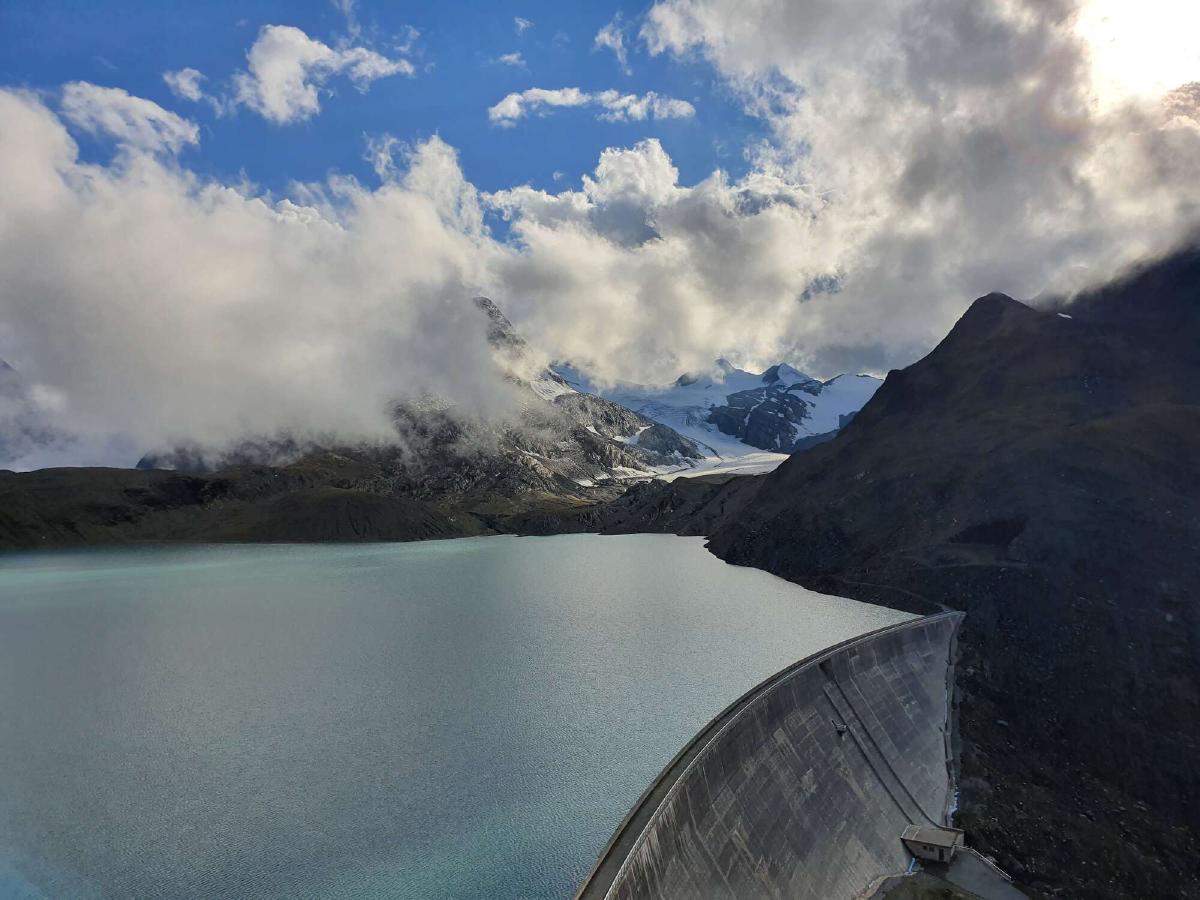
I reach the top and cross the dam. The trail is now mostly flat, but I’m still moving very slowly. I decide to take a break and eat dinner earlier than usual. After transferring some weight from my backpack into my stomach, I suddenly feel a lot better. Now I’m finally able to really enjoy the walk along the lake.
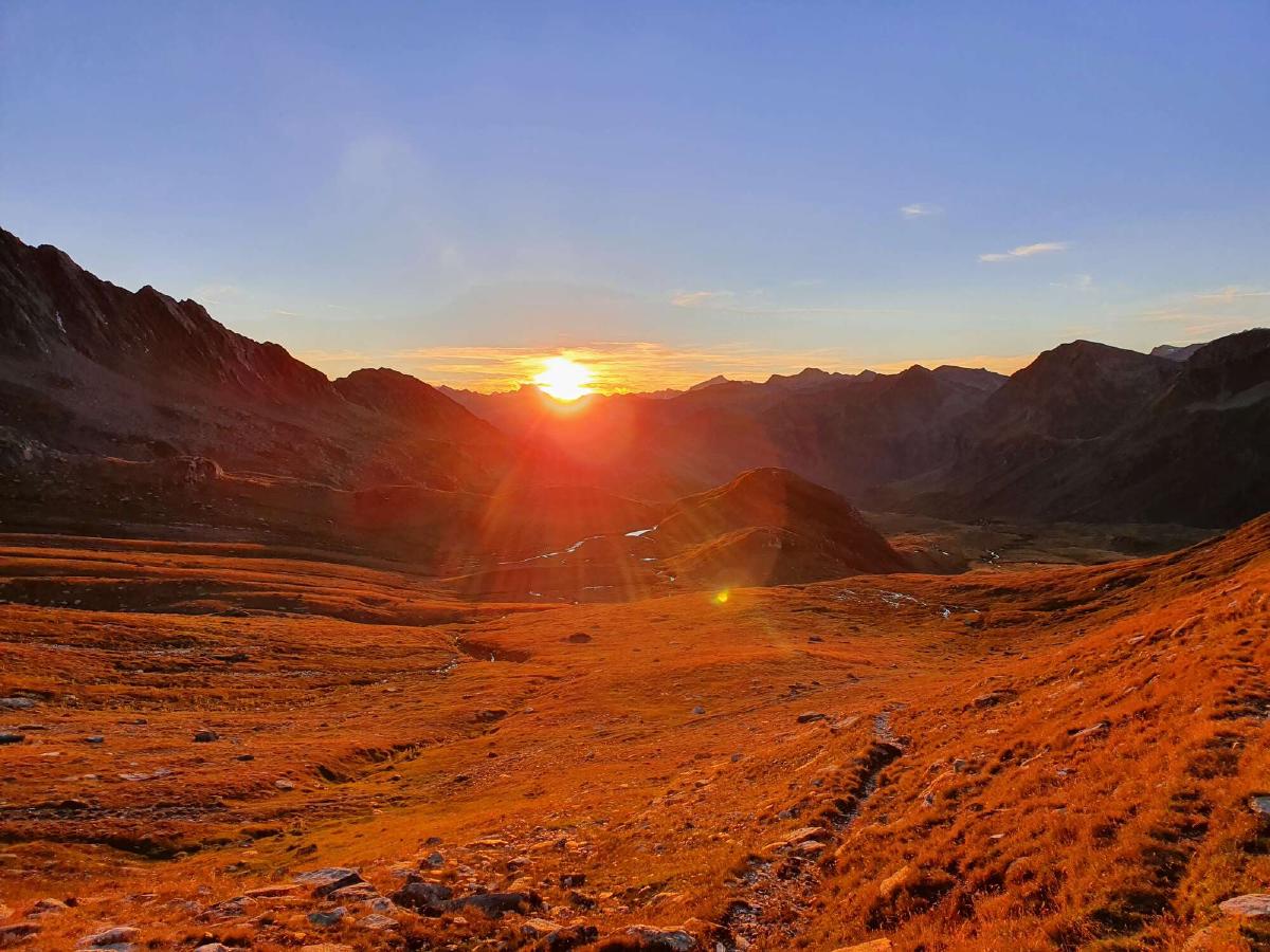
There’s a steep but short ascent, after which the trail goes through alpine meadows with a very gentle slope. With the sun getting low on the horizon, it’s finally cooling down. I put on some good music and feel both energized and at peace.
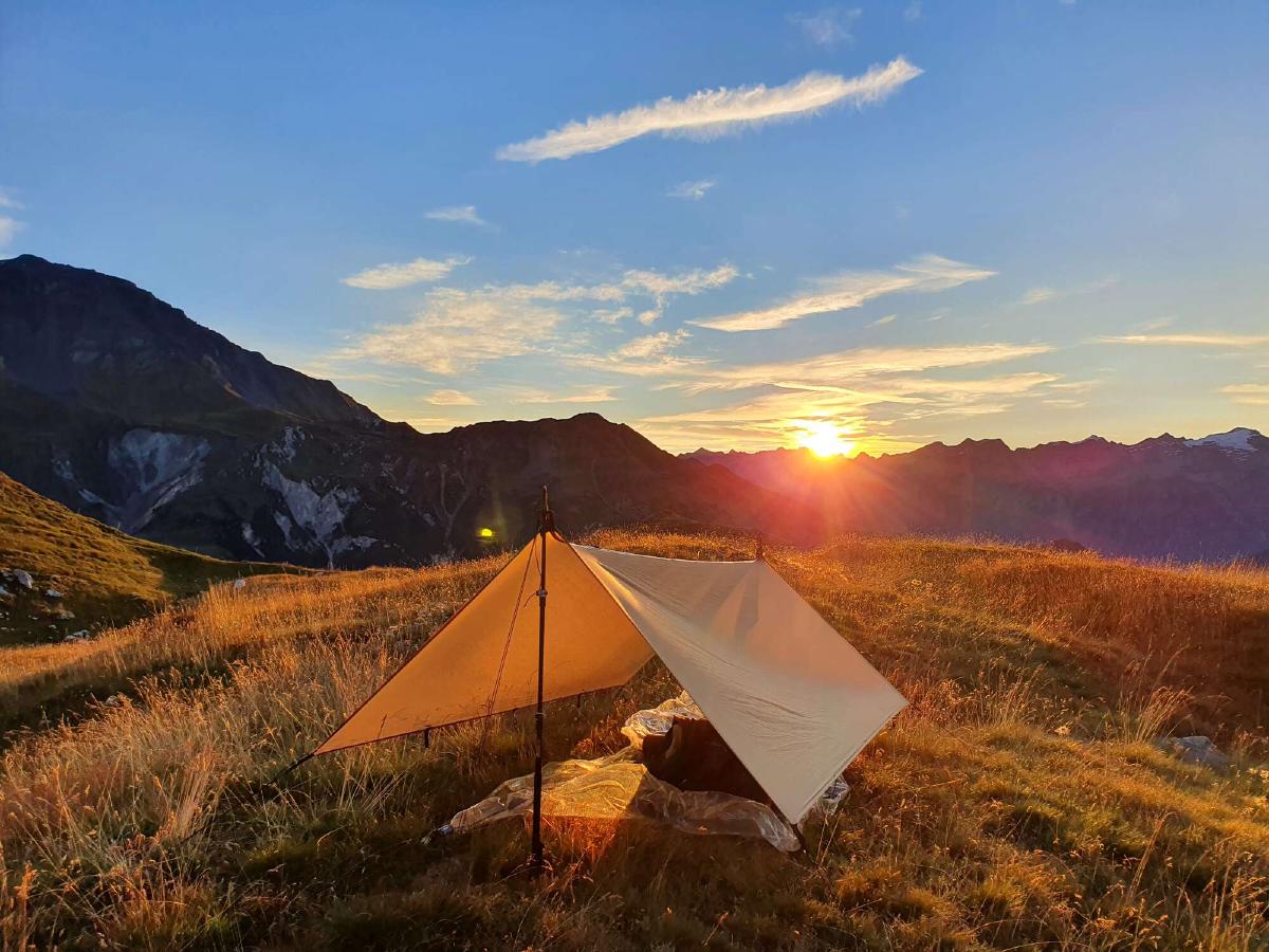
Even though there are some good spots to sleep on this side of the Passo del Sole, I decide to keep going. There’s still some light left and I feel great. I set up my tarp with the last light and quickly fall asleep.
Day 16 (04.09.2020): Passo del Sole - Pass Diesrut
Distance: 39 km; Ascent: 2'403 m; Descent: 2'417 m
It’s pretty cold when I wake up, so I take my time eating breakfast. By the time I’m ready to break camp, the sun is already peeking over the distant mountain tops and quickly warming me up.
After descending through the typical alpine pastures, I get to a beautiful wild forest. Apparently, there are some nature conservation areas around here. I cross the street at the bottom of the valley and head back up the other side.
The forest alternates with lush green meadows and picturesque little hamlets out of stone houses. It’s really obvious that I’m in a different region of Switzerland, both from the climate and from the human-made structures along the way.
I reach the almost mediterranean feeling town of Olivone an hour before noon. As I walk past two grocery stores with wide open doors I curse myself for my lack of research that led me to hauling around so much unnecessary weight.
Once I’m out of the town again I find a bench shaded by trees to eat lunch. Then comes the long ascent up the valley towards the Greina plateau. There are some nice sections but also a bunch of road walks in the hot midday sun.
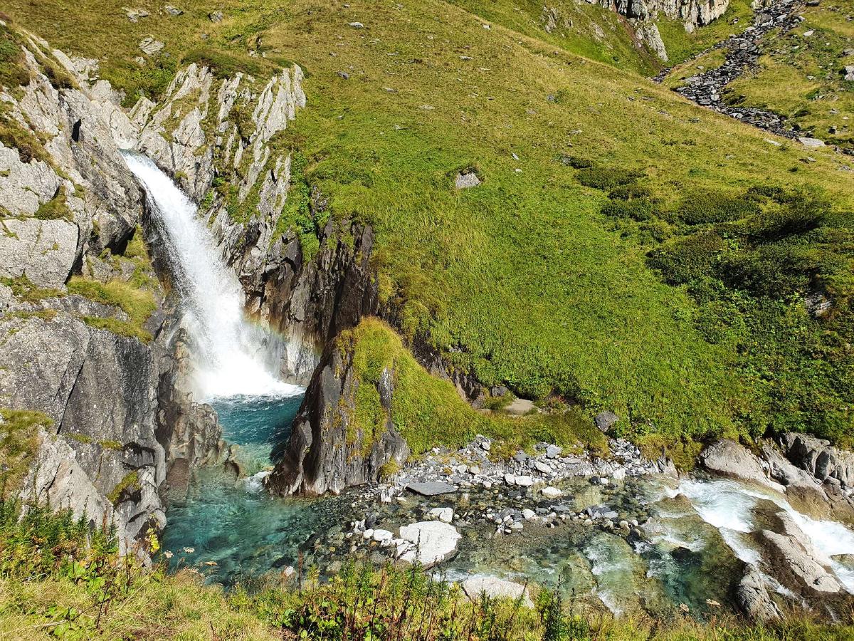
The marks of civilization fade away as I get deeper and higher into the valley. Paved roads turn into gravel tracks and then narrow hiking trails. Before the last push out of the valley, I’m forced to take an emergency snack break by my sore legs and low energy levels. The sugar quickly works its wonders, and within a few minutes, I start passing other hikers on the way up again.
I reach the top of the pass and with it the famous Greina plateau. It is promoted as one of the few untouched wilderness areas in Switzerland. As such, wild camping is strictly prohibited, forcing me to keep going until I reach the next valley.
At first, there are a bunch of hikers coming my way, but soon I am all alone. The trail is effortless to walk and the landscape is indeed quite stunning. When I round a corner and see cows grazing, I’m disappointed but not particularly surprised.
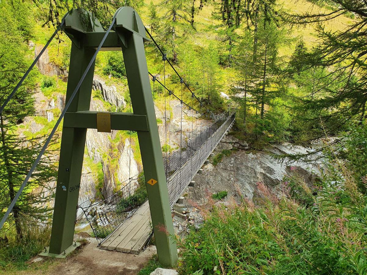
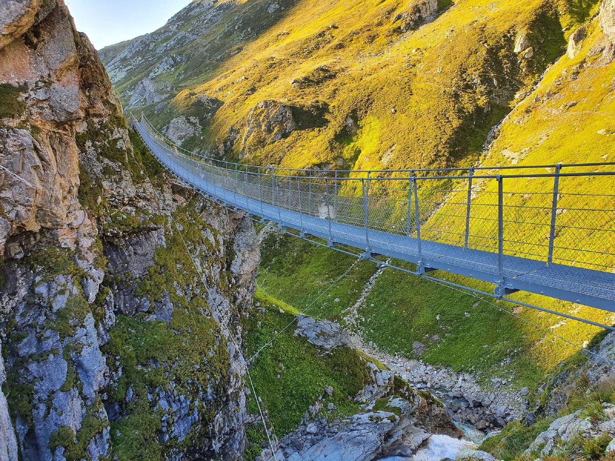
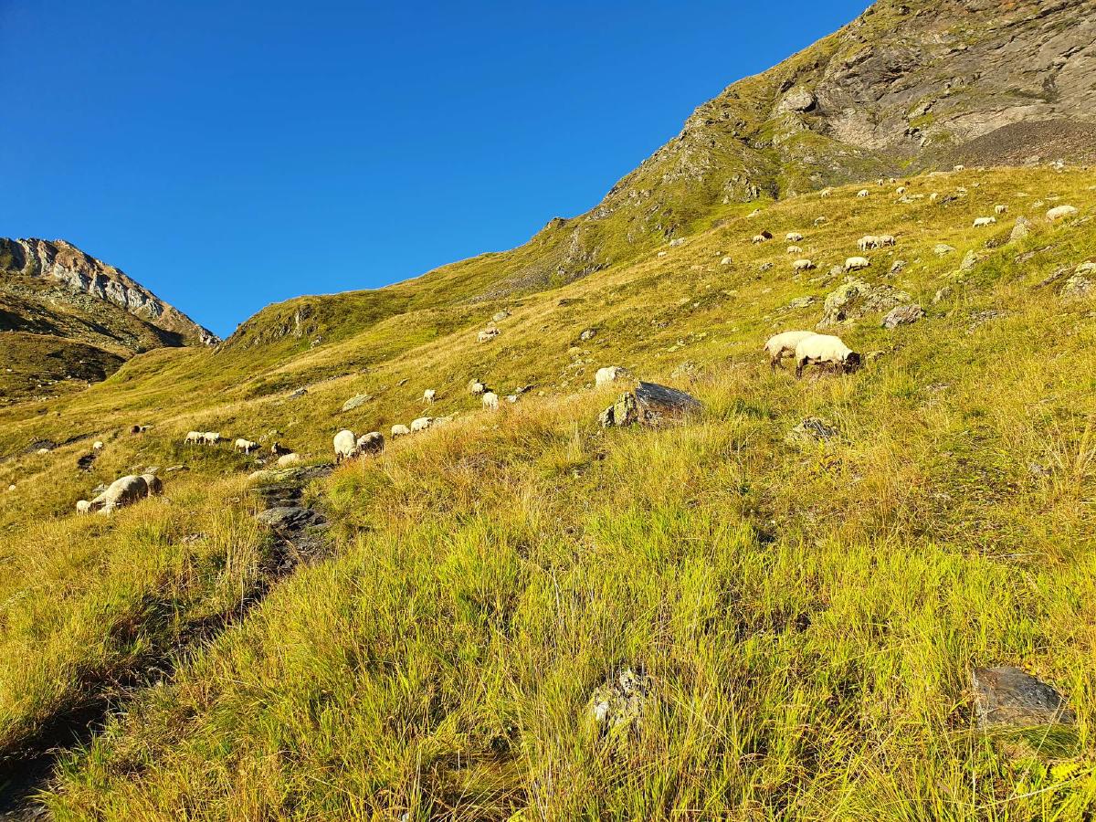
The trail briefly leaves the plateau to swing by the Terri hut. To get back, I have to cross a suspension bridge. I reach the iconic alluvial plain, but I’m not impressed. Maybe it’s because the sun is already disappearing behind the mountains or because of all the other spectacular vistas I already came across on this hike. Also, it certainly doesn’t help that the entire plain is littered with hundreds of sheep, spoiling the serene beauty.
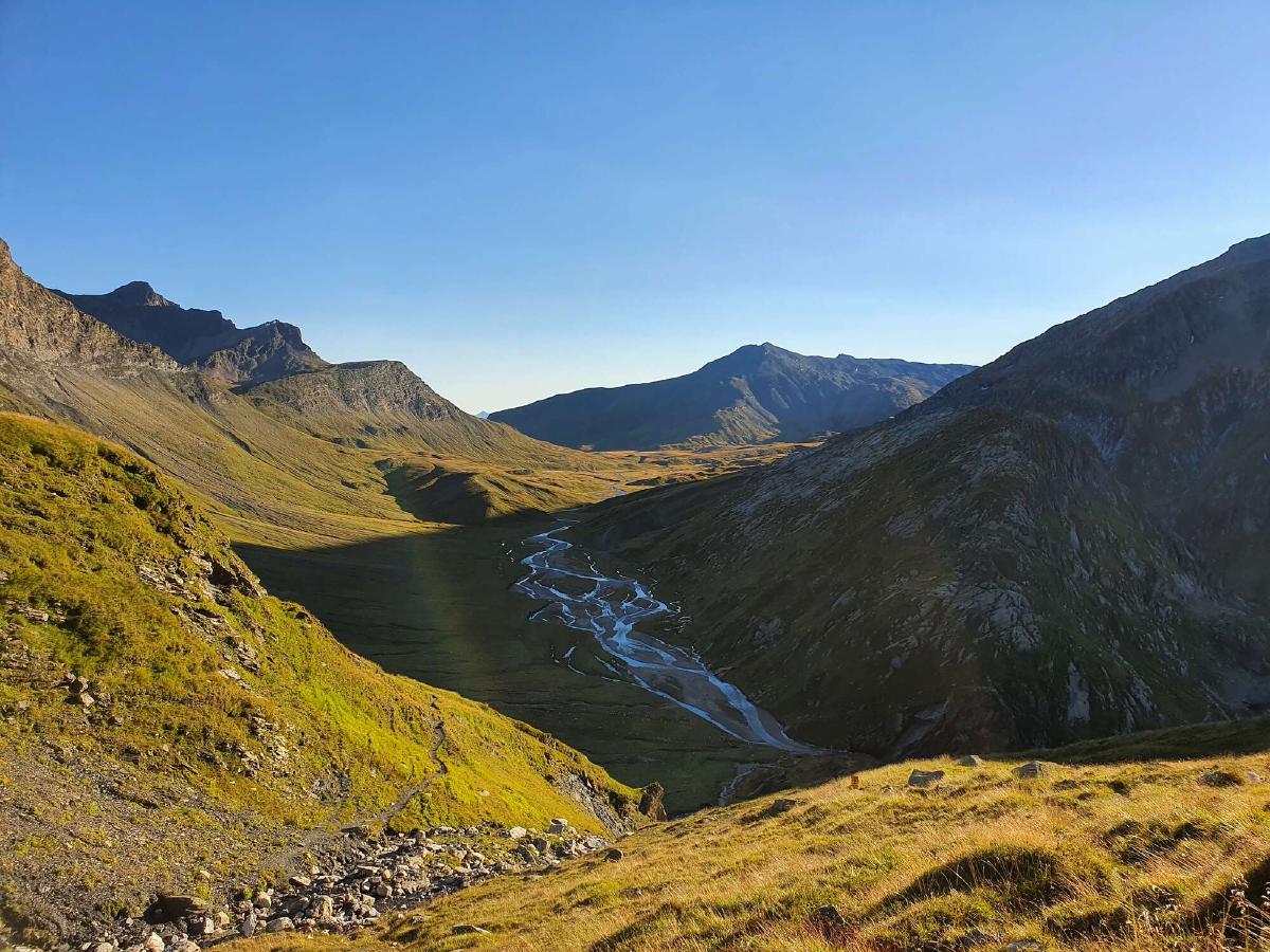
I push on through the herd to have dinner on top of the pass. It’s windy and although I’m still in the sun, it’s starting to get cold, so I make it quick.
Finding a spot to camp on the way down proves to be difficult, just as I expected. It seems like the climate on this side of the pass is much wetter. The ground is soaked with water and there are hardly any flat spots.
I reach an active cow pasture and start getting into view of the next village, so I decide to backtrack and settle for a sub-par spot right next to the trail. At least the weather is supposed to stay dry, so I don’t have to put up my tarp.
Day 17 (05.09.2020): Pass Diesrut - Alatobel
Distance: 45 km; Ascent: 1'423 m; Descent: 2'709 m
It’s a cold night and when the sun begins to rise, I would rather stay in my quilt than start hiking. I take my time to eat a big breakfast. I’m pretty surprised when the first hikers start coming up from the valley as I’m still sitting in my bivouac. More hikers are coming my way as I’m walking down, which goes to show how popular the Greina plateau is. Normally I barely encounter other people on the trails for the first hour or so after sunrise.
I reach the village of Puzzatsch, which is where most day-hikers start their journey. It’s also where the first of today’s many road walks begin. At this point, I’m not bothered by it though, as the peaceful morning and idyllic landscape help distract me.
By now I feel like I’ve seen everything the trail has to offer and just want to get it over with. Even though there are nice sections of trail all the way down, they are increasingly interspersed with less exciting ones. The ascents are especially hard, as I know that I will soon have to lose that elevation anyway.
It also gets uncomfortably hot as the day progresses. I start to feel dehydrated and have to constantly remind myself to drink enough water.
I reach Ilanz sweaty, dirty and exhausted. The hustle and bustle at the train station is almost too much for me after spending so much time in near solitude.
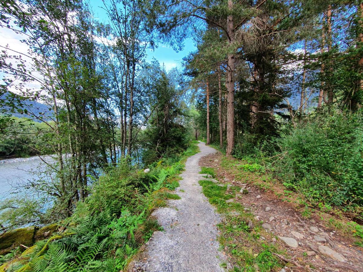
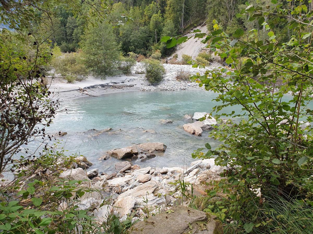
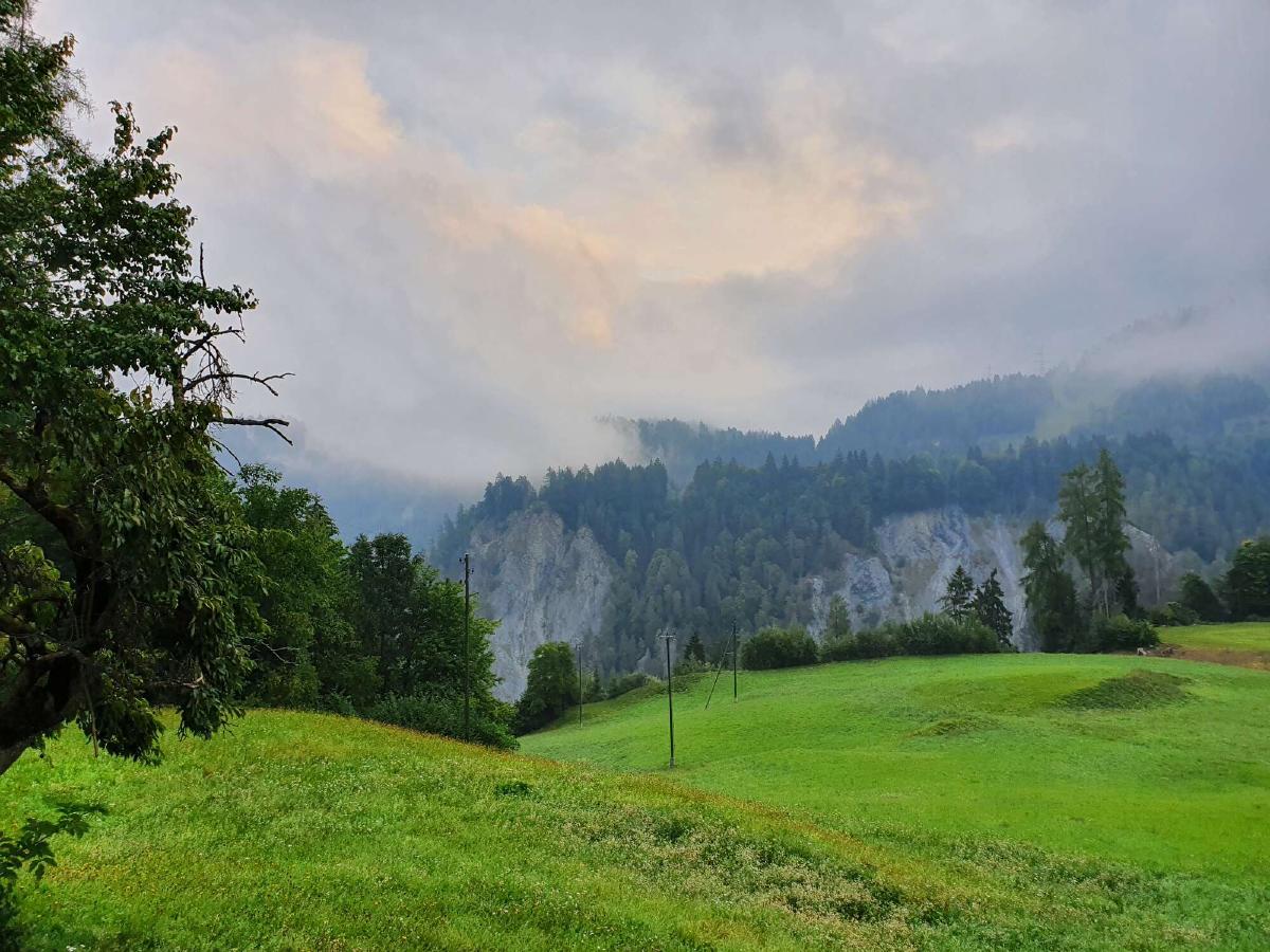
The trail now leads along the river Rhine through the forest. My mood begins to improve thanks to the pleasant hiking conditions. Even though the trail doesn’t lead into the stunning Rhine Gorge, the scenery is still fantastic.
I’m a bit concerned about the weather, as thunderstorms are forecast for the night. There are indeed dark clouds approaching from the west, with occasional flashes of light far in the distance. Since I’m going east though, it seems like I’m able to outpace the weather for now.
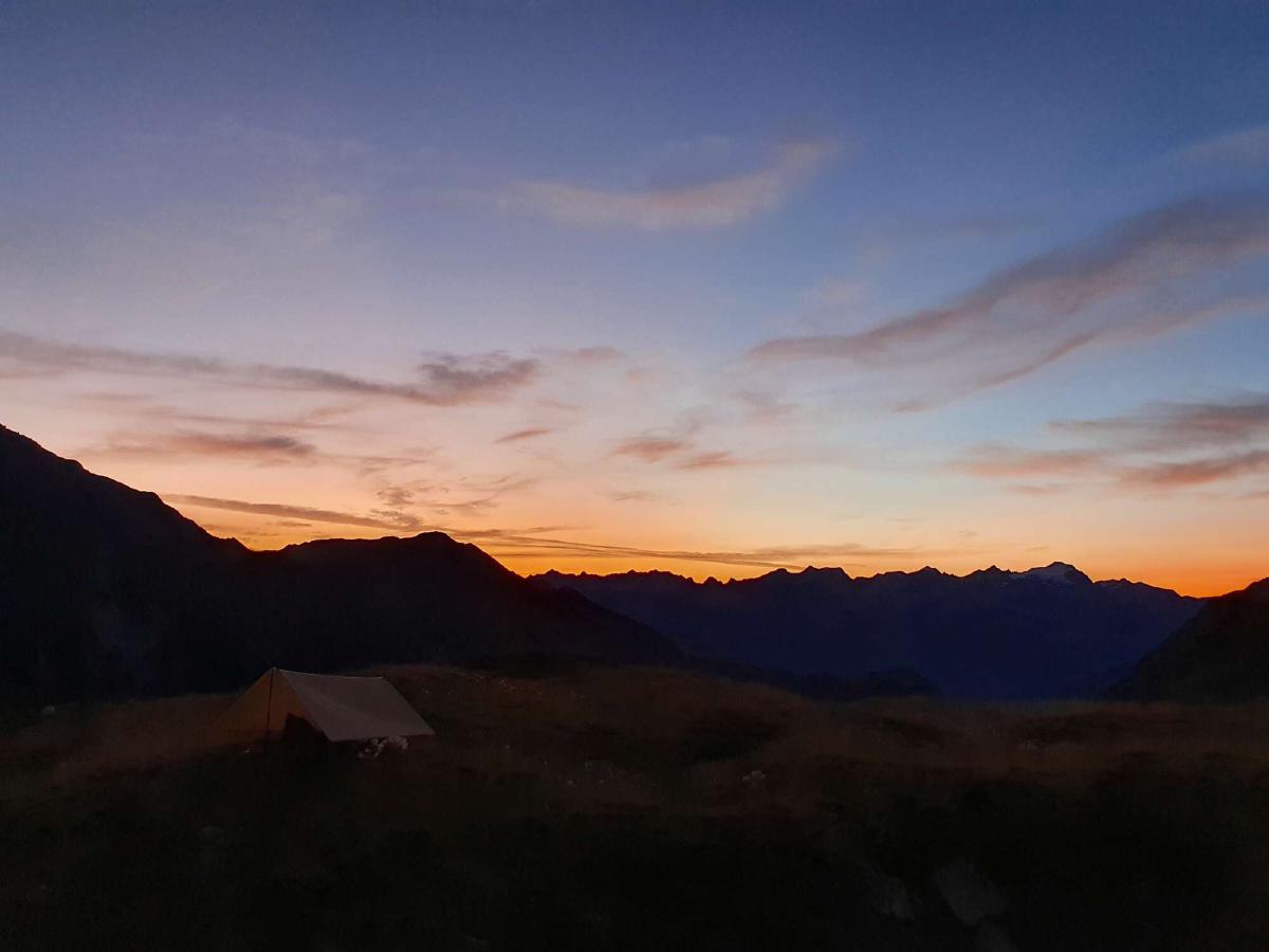
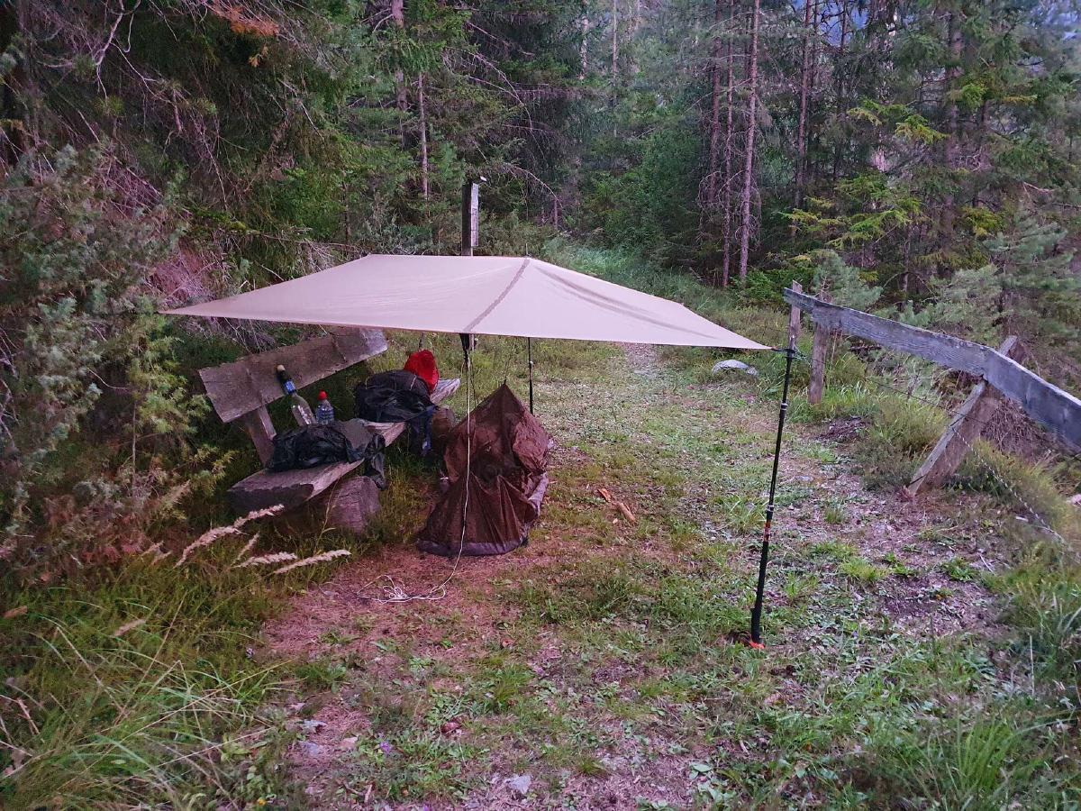
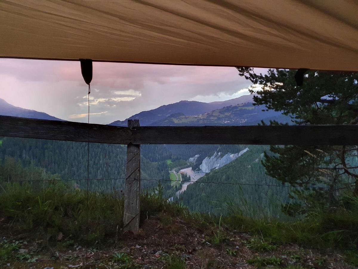
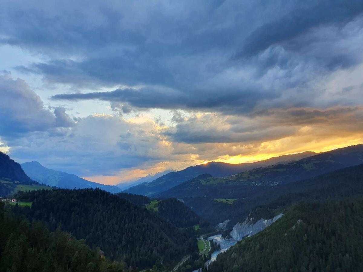
When it starts getting dark, I find a side trail leading to a bench with a beautiful view over the Rhine Gorge. I have dinner while enjoying a stunning sunset. Thankfully, it doesn’t start raining until I’ve put up my tarp.
Day 18 (06.09.2020): Alatobel - Chur
Distance: 26 km; Ascent: 625 m; Descent: 925 m
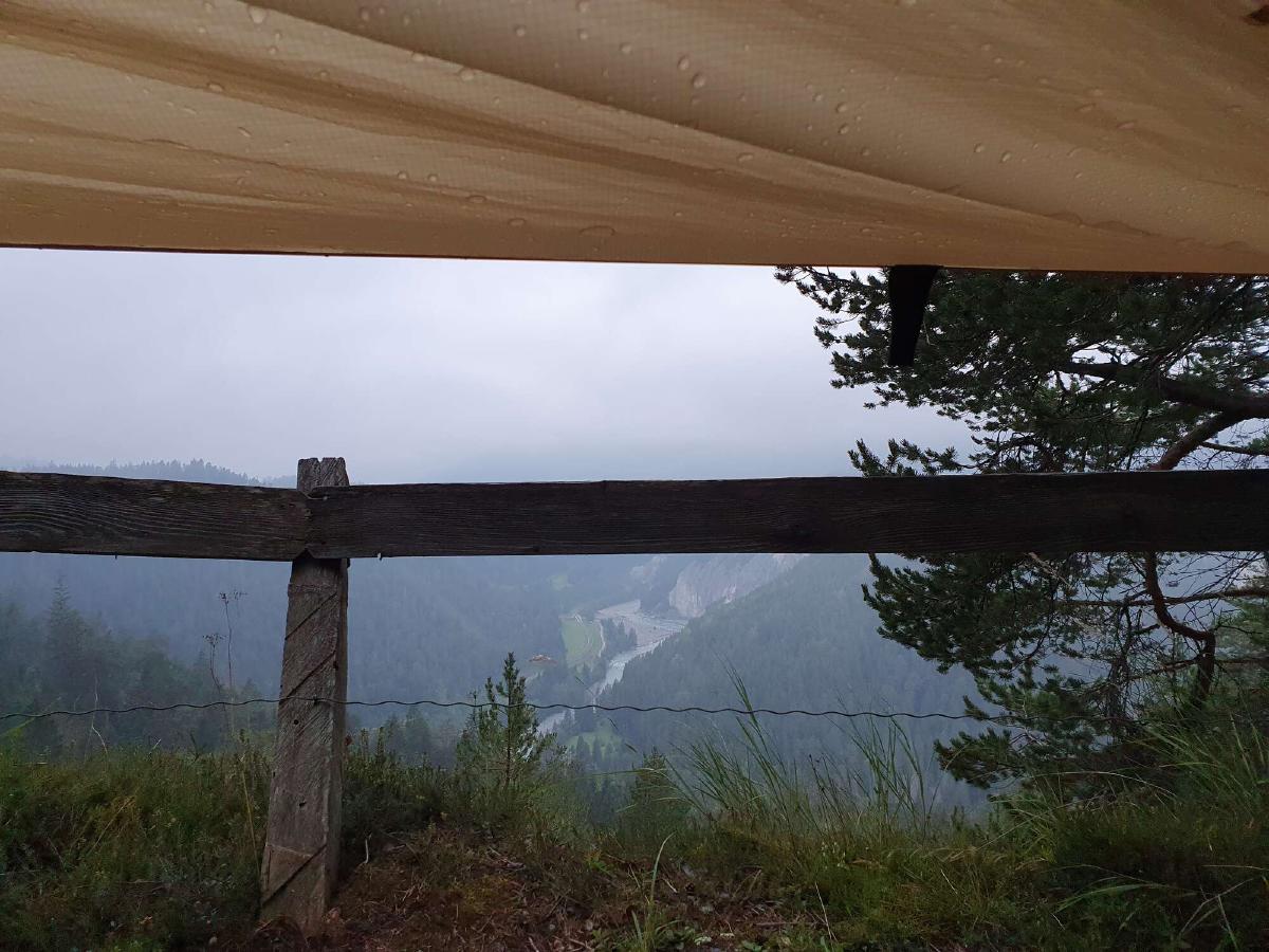
Thanks to the mild temperatures, the night is quite pleasant despite the bad weather. When I get up, the rain has stopped, but it’s still overcast and a bit foggy. My tarp has kept me dry, but due to the flat pitch, some water has collected on top of it.
For the first time in days, I can comfortably eat breakfast wearing just my fleece and baselayer. I eat pretty much all my remaining food, saving just a few snacks for the rest of the day. I’m hoping to reach Chur by noon.
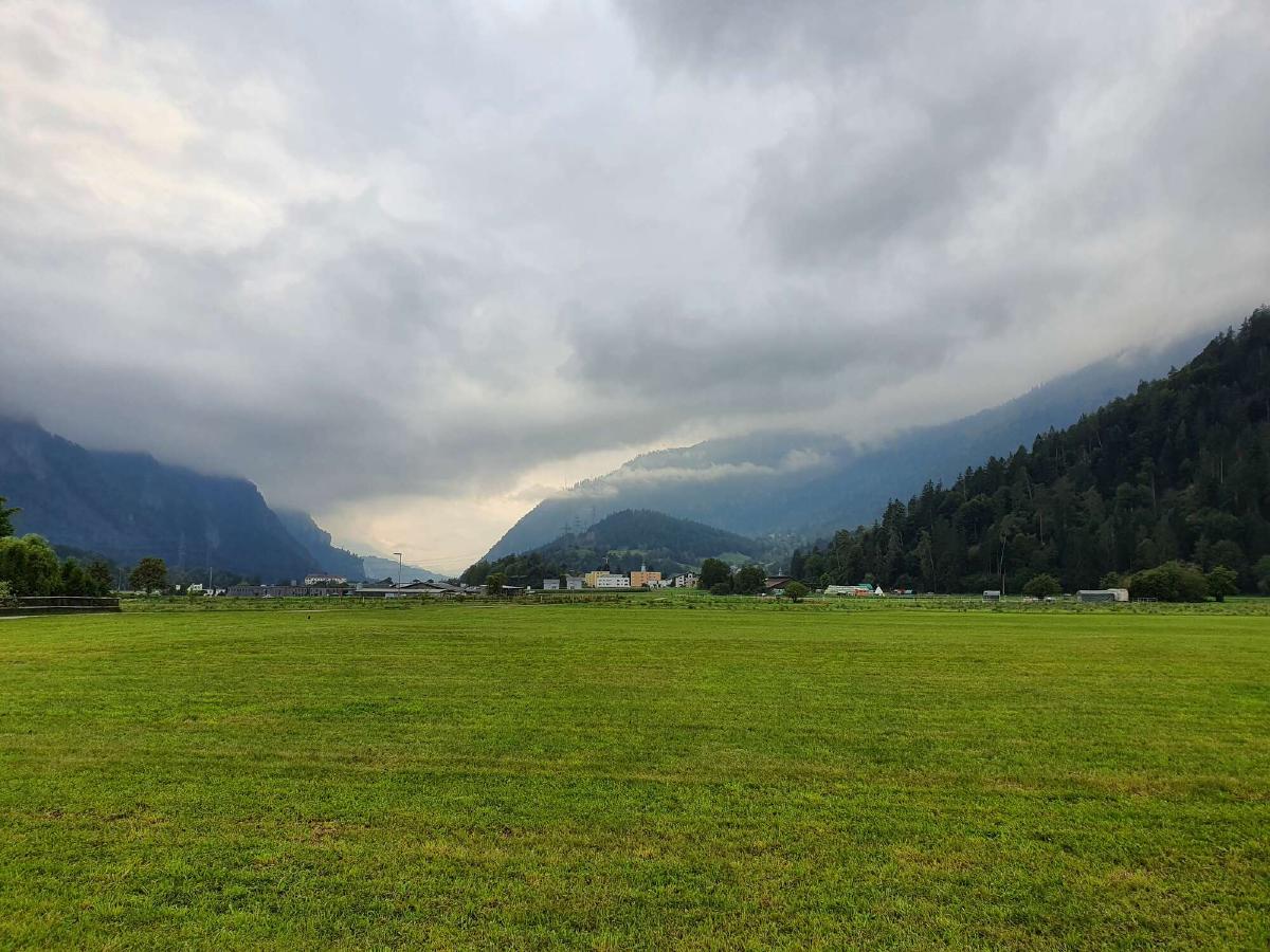
The thought of hiking along the bottom of the Rhine valley doesn’t exactly fill me with a lot of excitement. What I am looking forward to though is meeting my mom and spending the next few days recovering at her place.
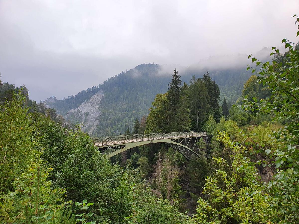
After a bit of uneventful road walking, the trail descends into a ravine. While I’m not all that excited about the seemingly unnecessary elevation difference, it does at least change things up a bit.
The climb up the other side is a real struggle. I’m not sure whether it’s from physical exhaustion or if it’s just in my head, as I’m so close to the finish.
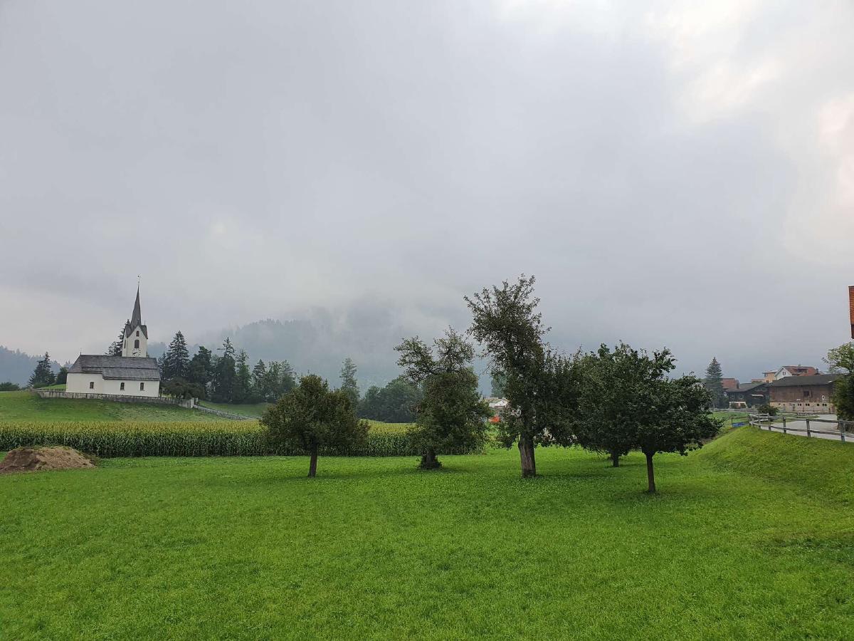
The only people that are already out and about this early on a Sunday morning are a couple of hunters and then a few joggers and people walking their dogs as I get closer to the next town.
The trail passes right next to the train station in Bonaduz. I’m definitely tempted to just take a train and be done with it all, but I have come too far just to skip the last bit.
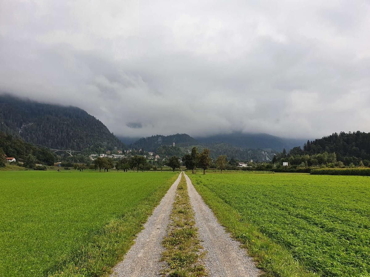
There’s a final ascent in Tamins leading to a pleasant forest. The trail then slowly leads back down to the Rhine. The path along the river would be quite enjoyable under normal circumstances, but my aching feet and empty stomach distract me too much.
After crossing the Rhine in Felsberg and walking along the noisy freeway for a bit, I finally reach the outskirts of Chur. Even though it’s now just a matter of minutes to the end, I can’t resist the urge to head into the first gas station shop and get a huge sandwich. I eat as I walk through the streets towards the train station, my mood lifting with every bite and every step closer to the finish.
As I turn the last corner, I experience a deep sense of accomplishment and happiness. The trail ends unceremoniously without any special markings. It feels pretty surreal to be done just like that.
