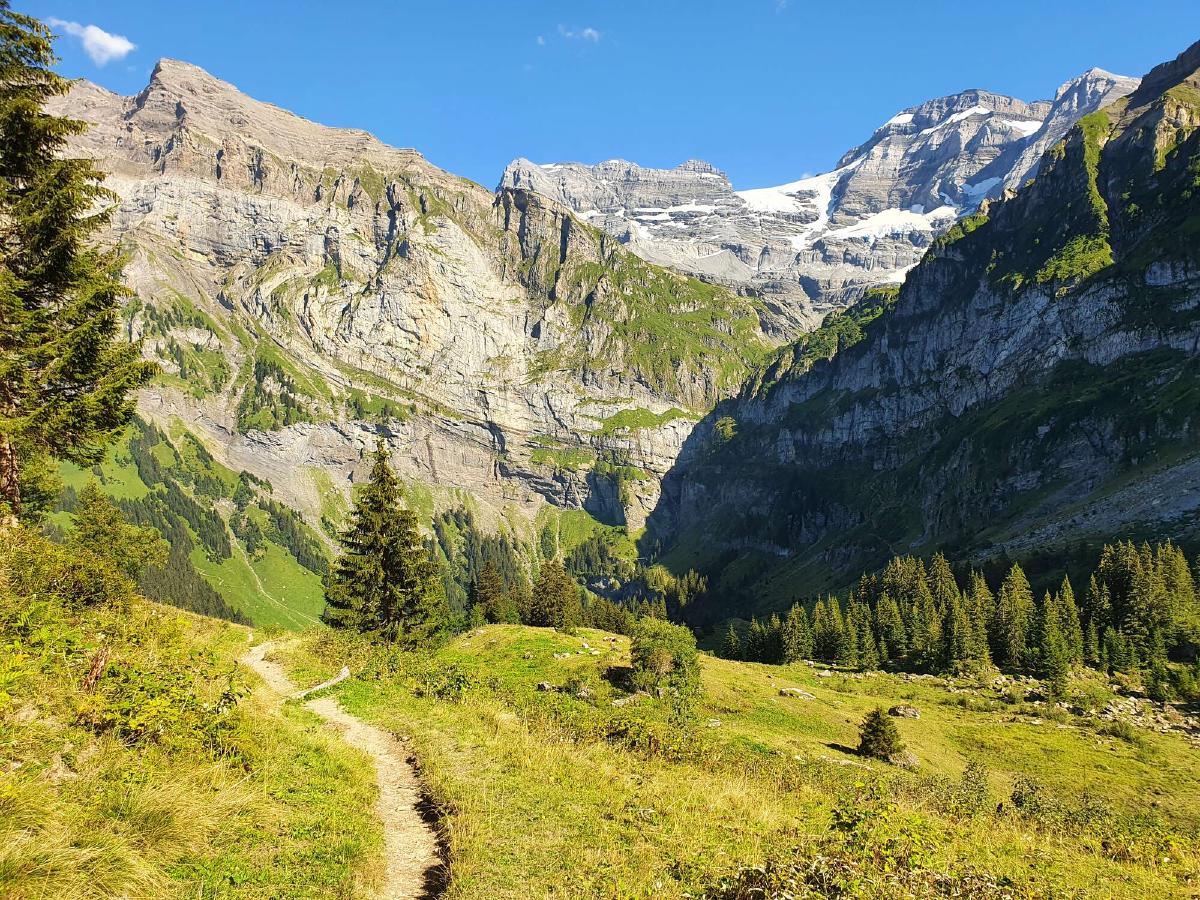
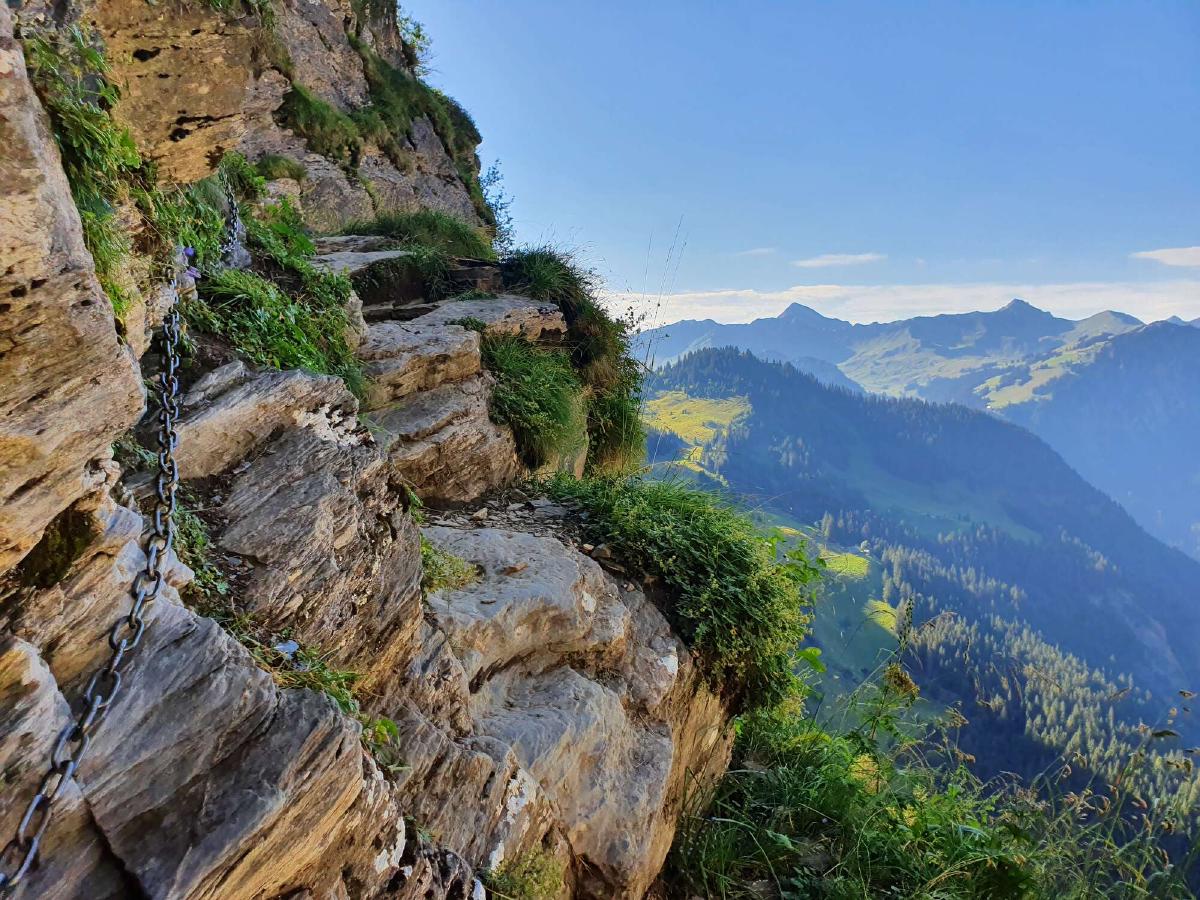
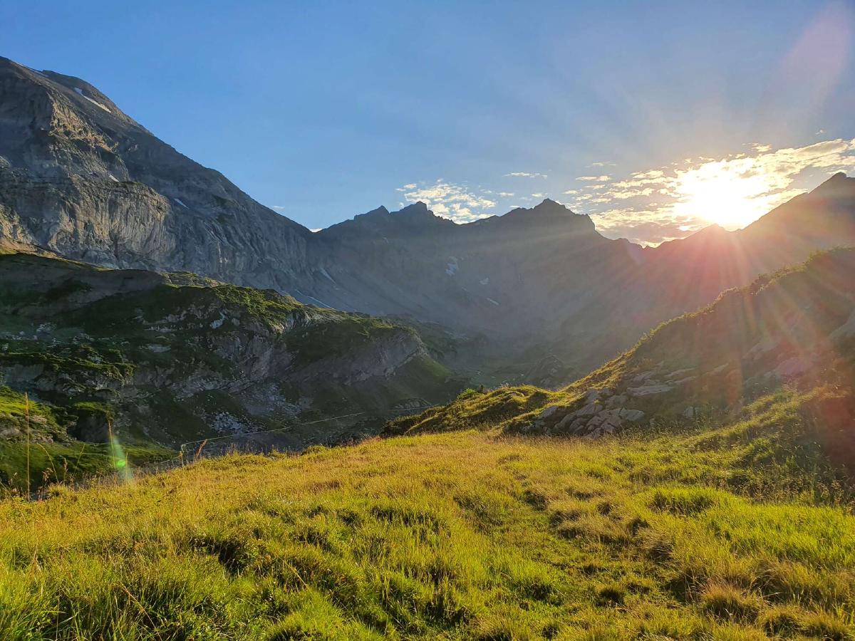
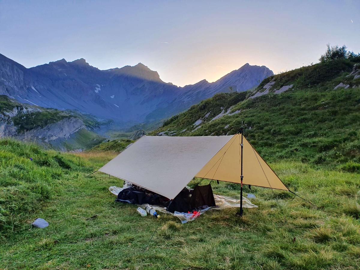
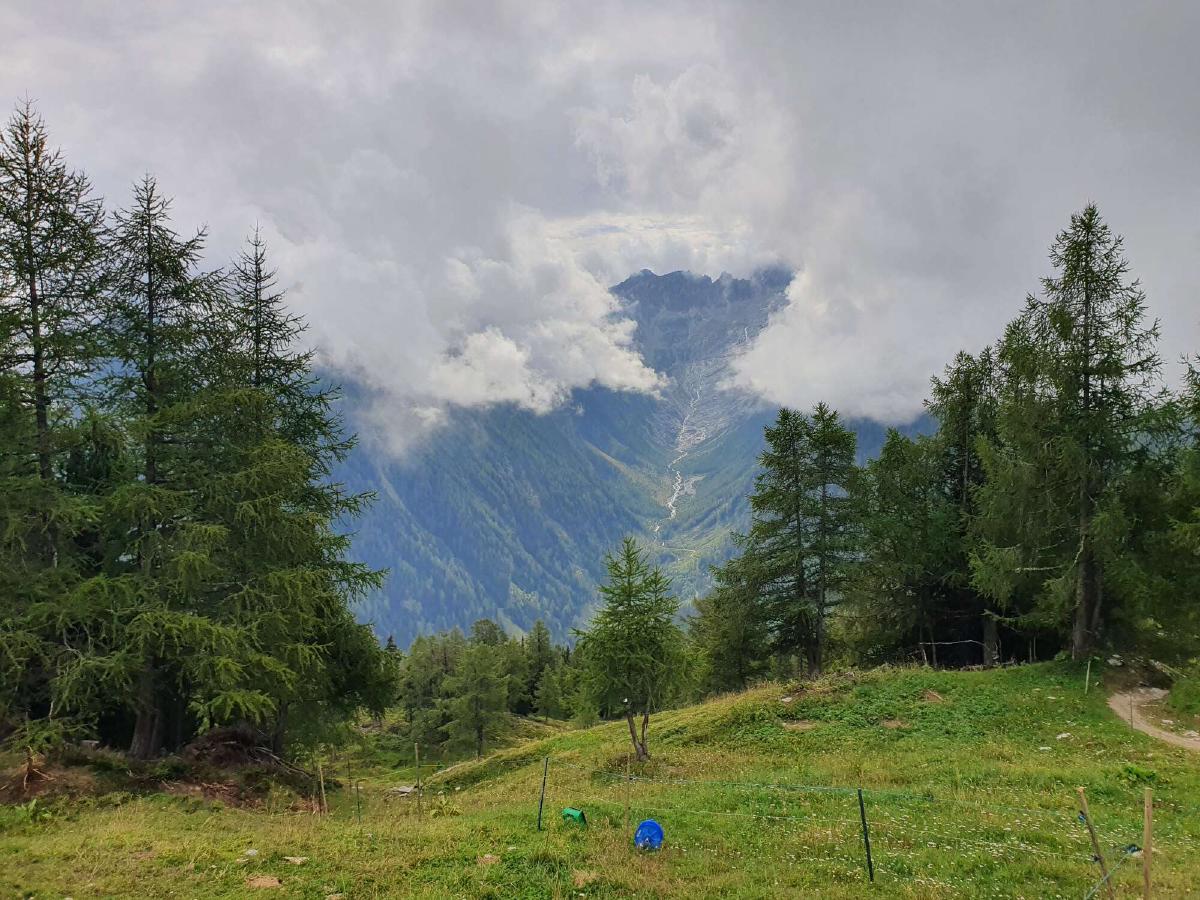
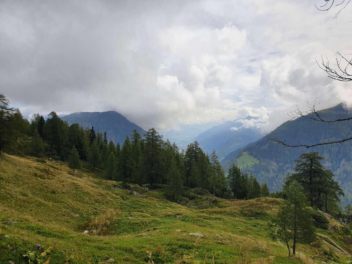
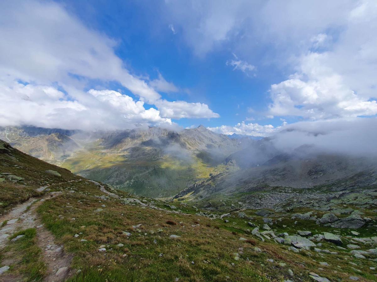
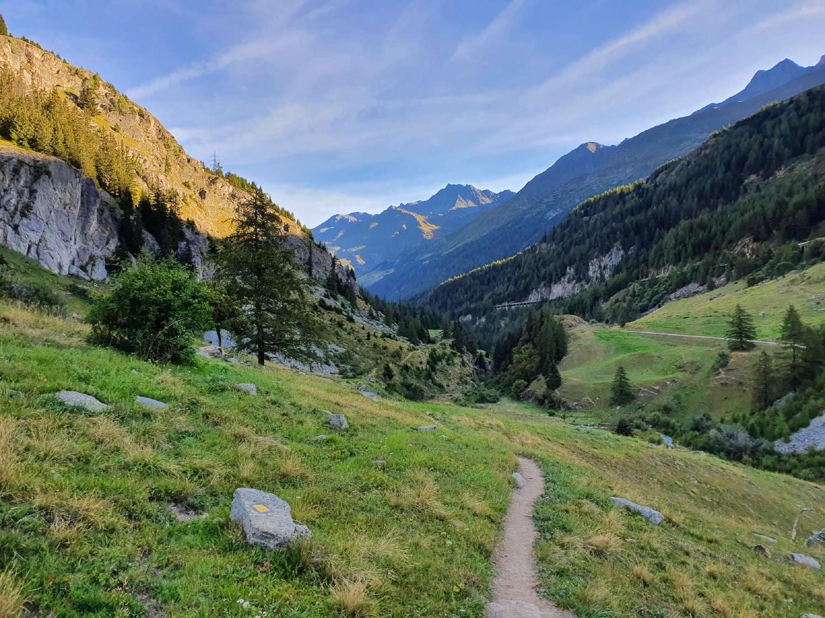
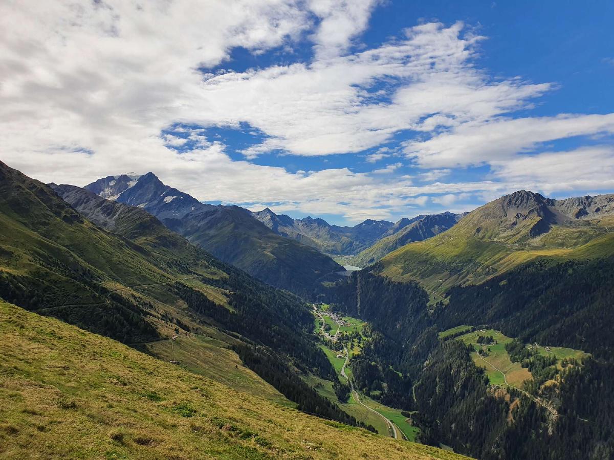
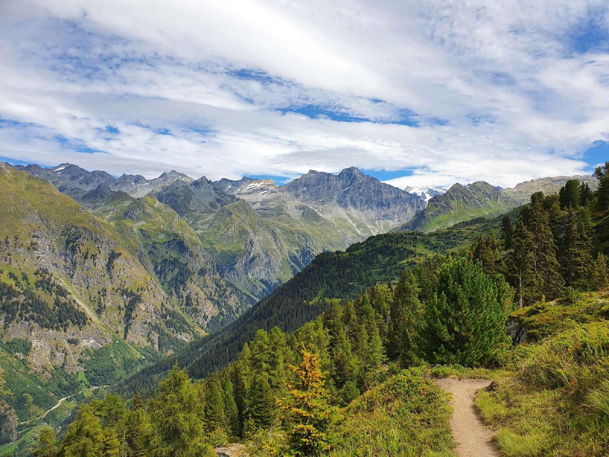
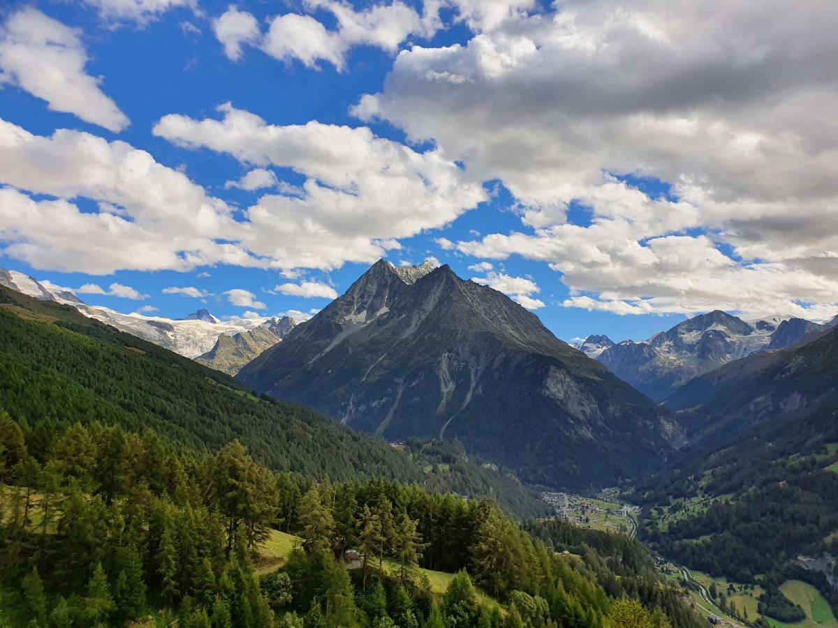
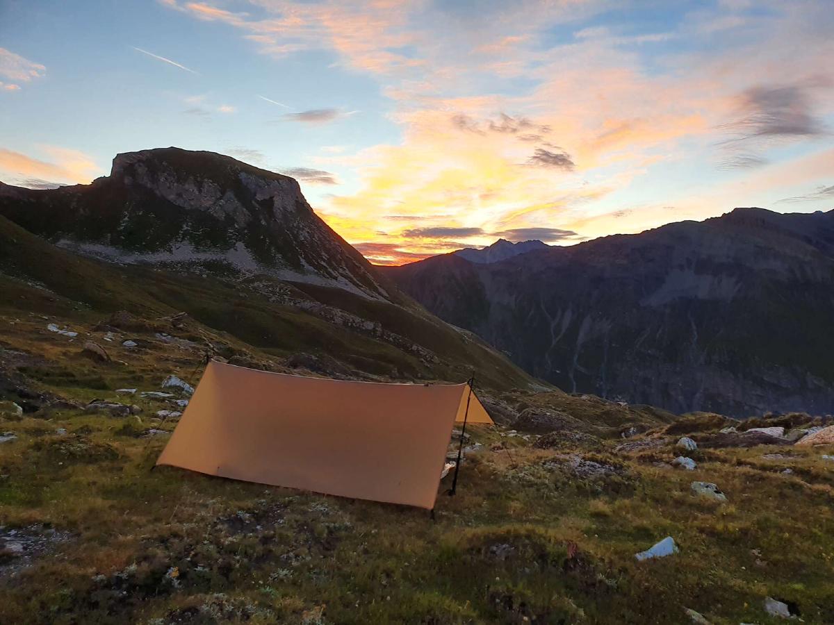
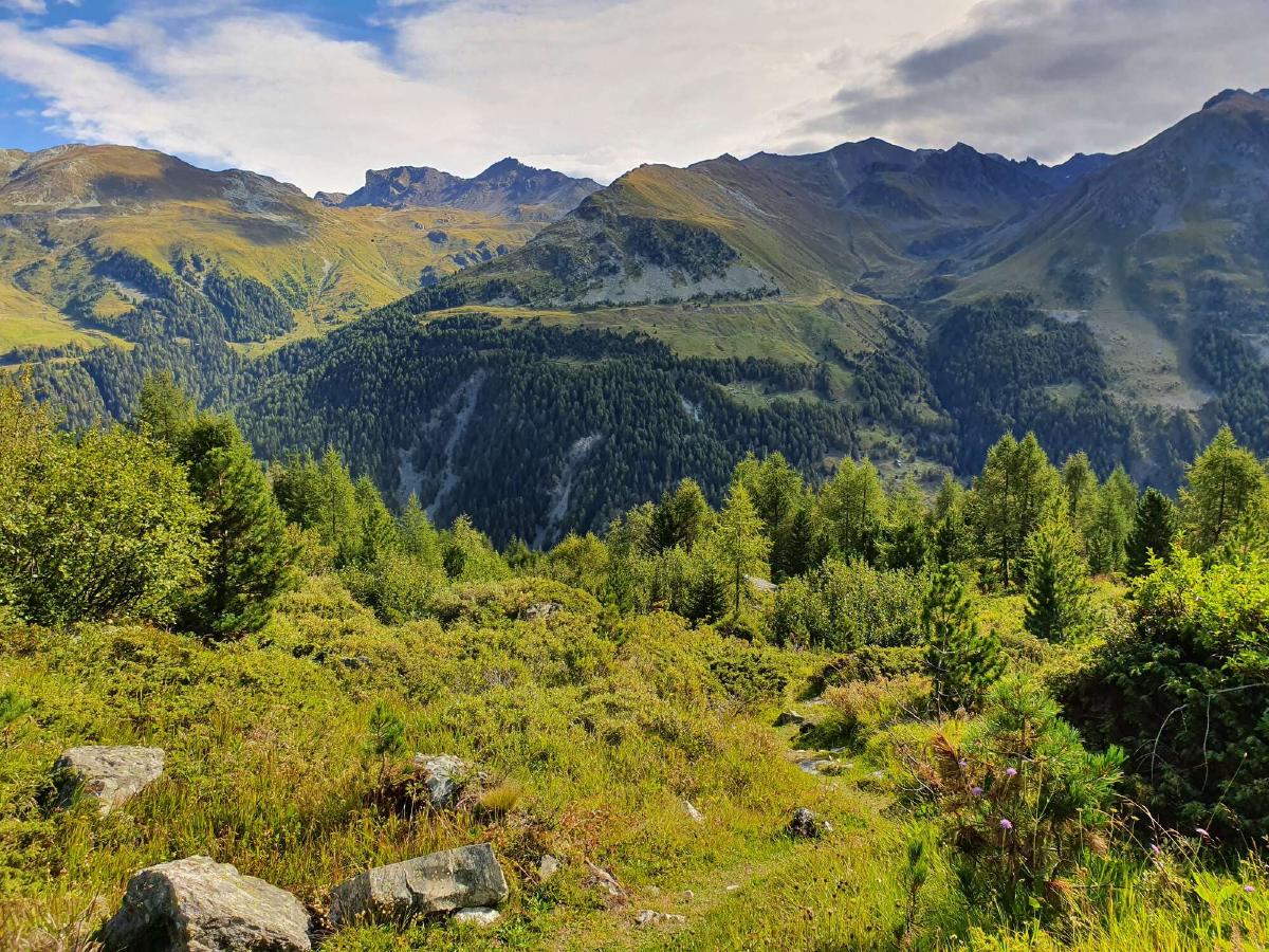
Day 1 (20.08.2020): St-Gingolph - Forêt de Draversa
Distance: 29 km; Ascent: 2'435 m; Descent: 1'288 m
The alarm rudely awakens me at 5:20. It’s still pitch black outside, yesterday was a new moon. Since I already prepared everything the night before, I can quickly get ready to go even while I’m still half asleep. Once I’m outside, I get some clarity from the crisp air and suddenly feel a wave of anxiety in view of the tremendous task ahead of me. A moment later though, this feeling turns into pure happiness. The first rays of sunshine illuminate Mount Rigi on the horizon. I still feel a bit stiff walking to the train station.
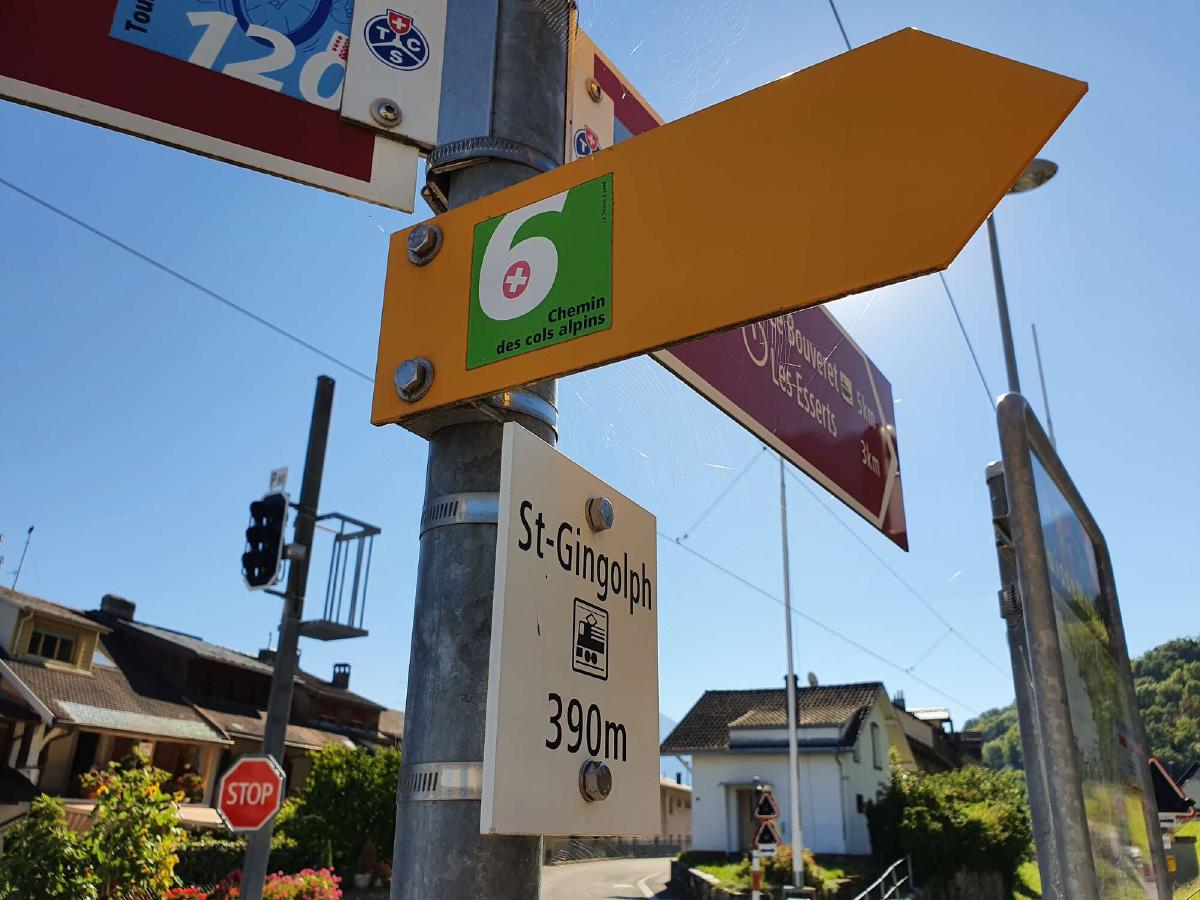
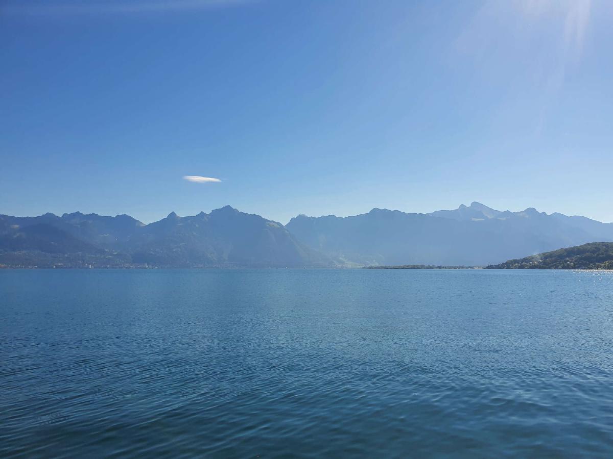
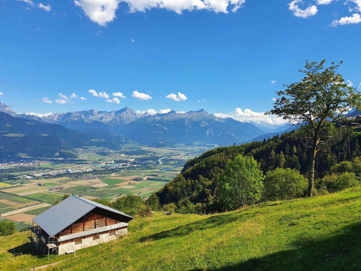
After a long and uneventful train journey, I finally arrive in St-Gingolph shortly after ten o’clock. I quickly spot the first trail sign with the number 6 on it, pointing up into the mountains. Instead of starting along the trail right away, I instead decide to take a quick detour down to the lake. It’s a beautiful day with clear skies. Across the lake, the Rochers de Naye tower above Montreux, where I had finished my hike of the Via Alpina a year earlier. I take a moment to reflect on the path that took me here, and at last it’s time to start the adventure.
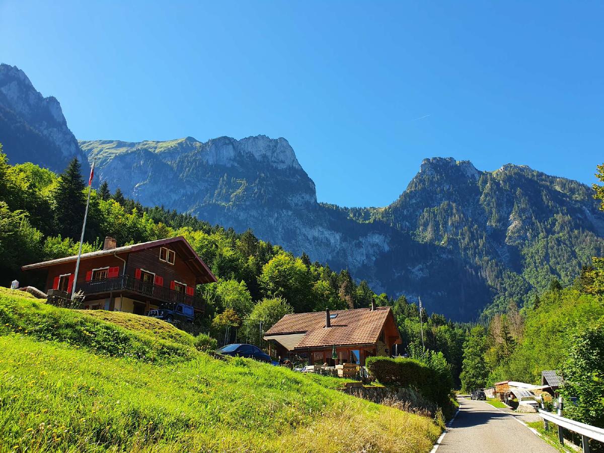
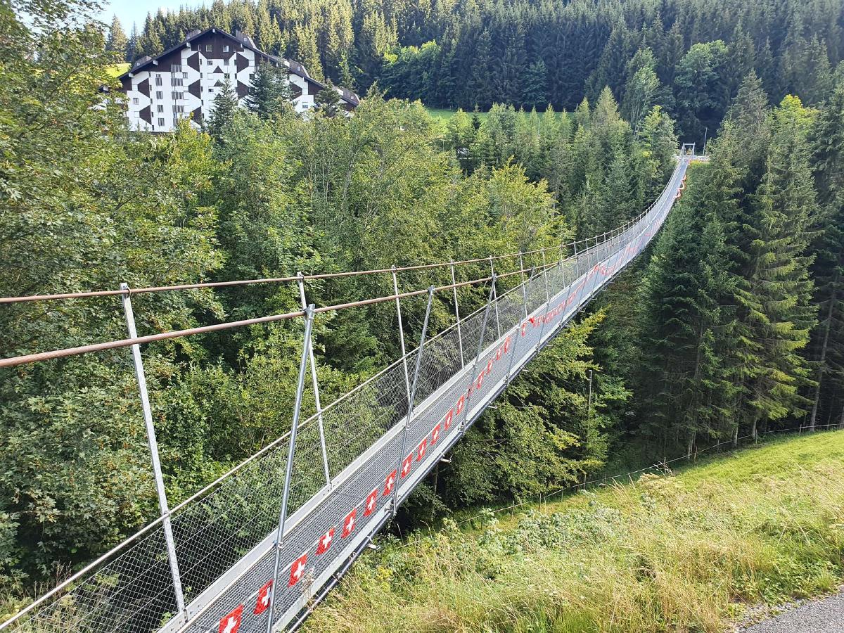
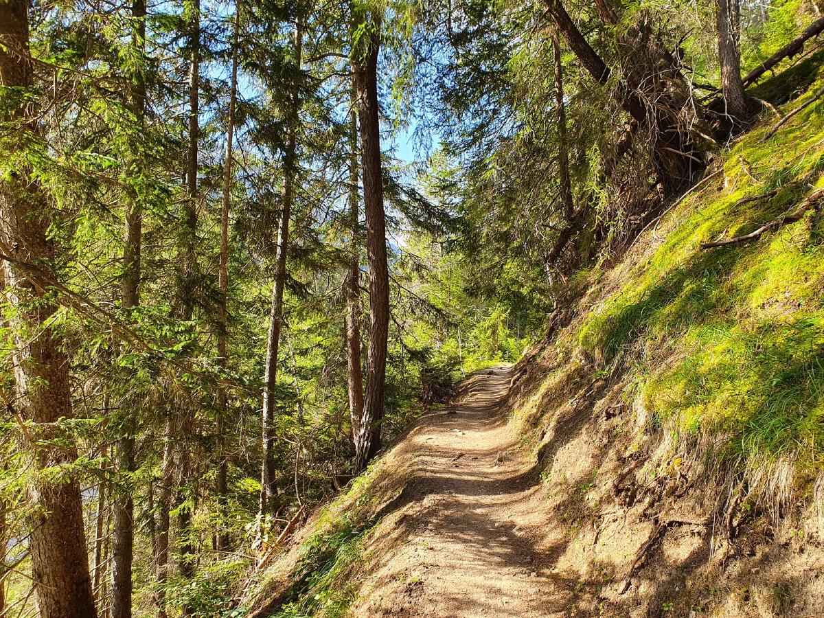
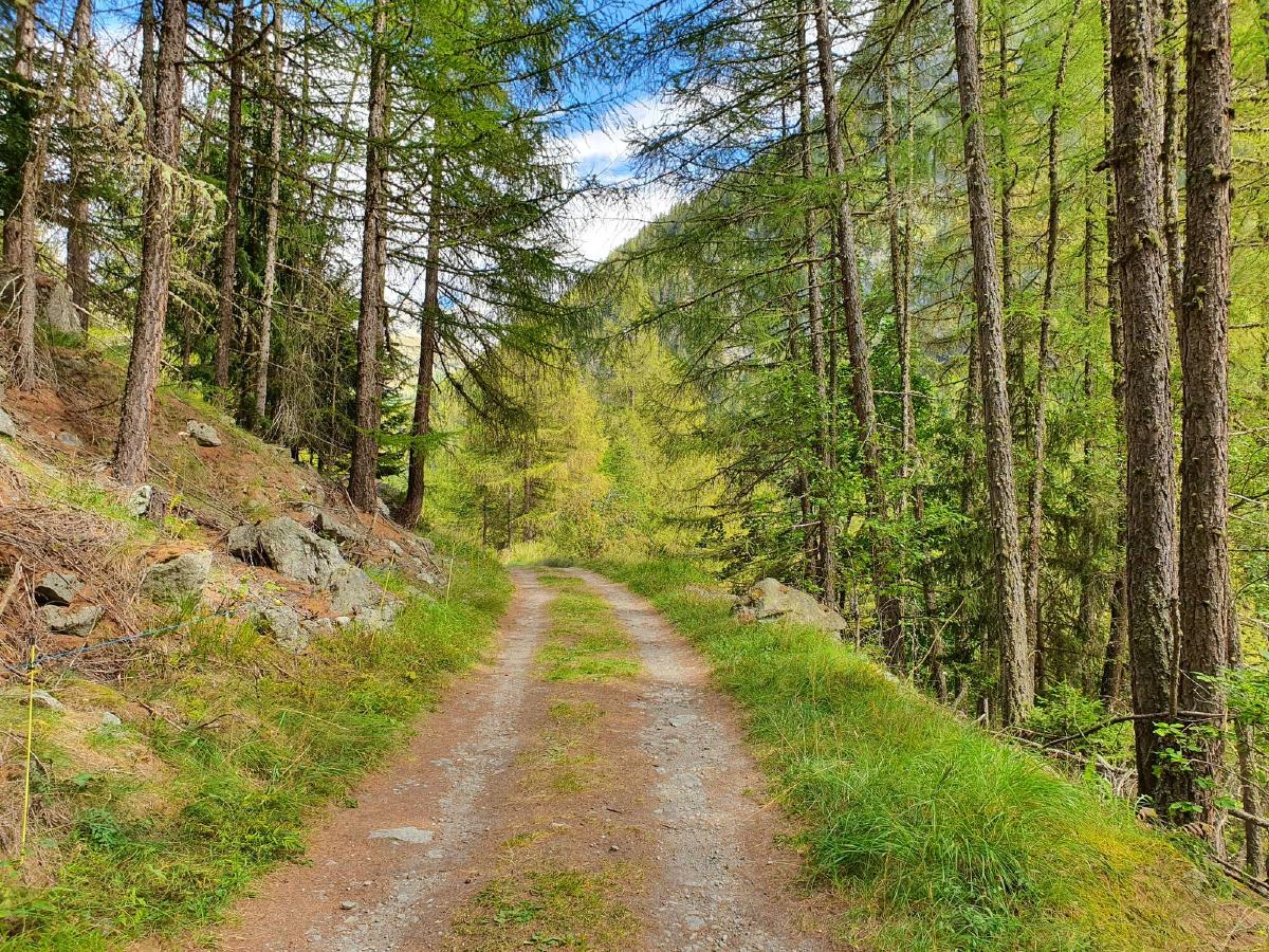
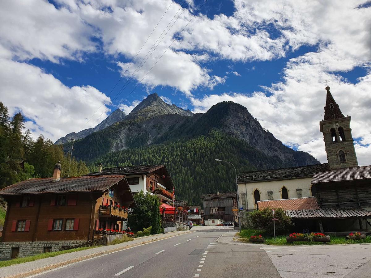
The trail doesn’t mess around. After traversing the village, there’s a steep ascent into the forest. I manage to snag my shirt on some thorny bushes - off to a good start. Thankfully the damage is minimal. After this initial ascent, the trail levels off a bit when it joins a road. There’s hardly any traffic and the trees provide some welcome shade from the summer sun. The monotony of the road walk is broken up by some quaint villages along the way. I’m very happy to be hiking, especially since I still have three weeks of it ahead of me.
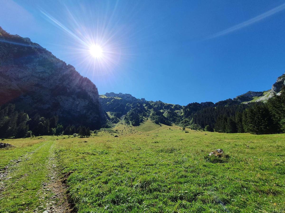
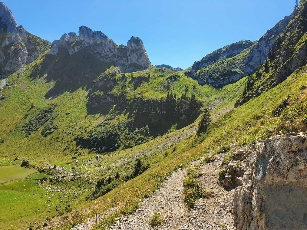
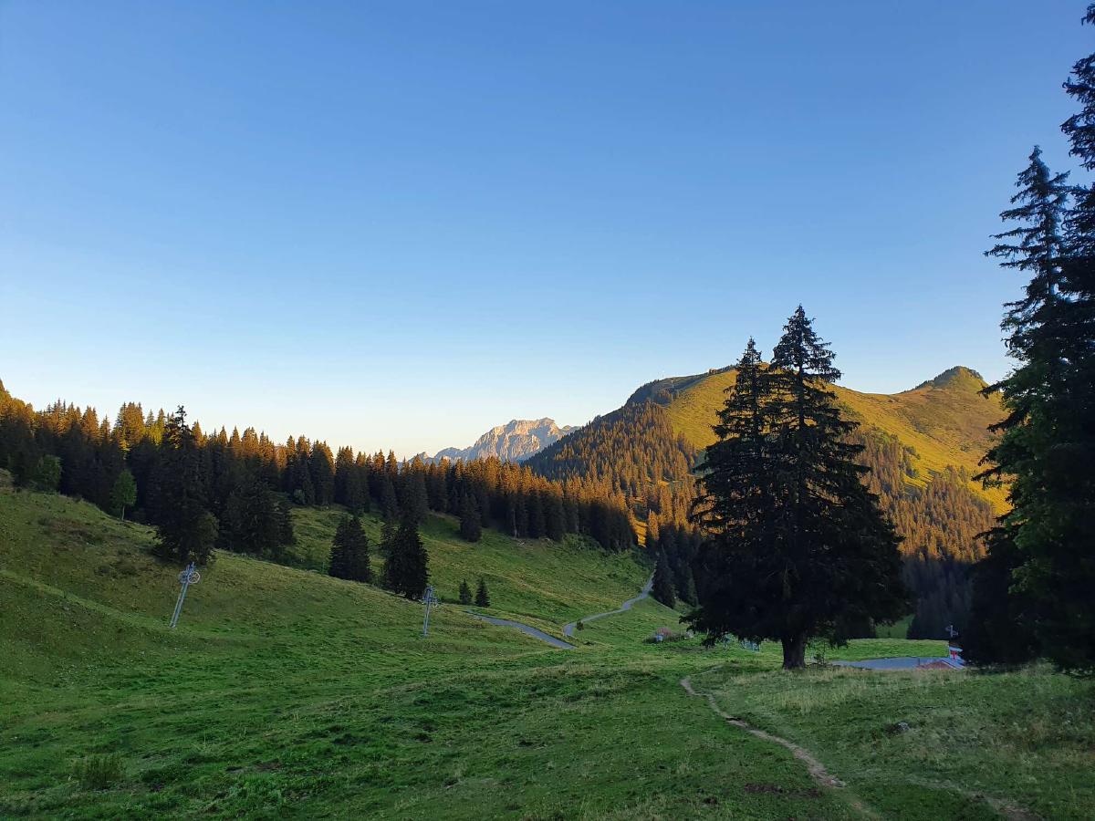
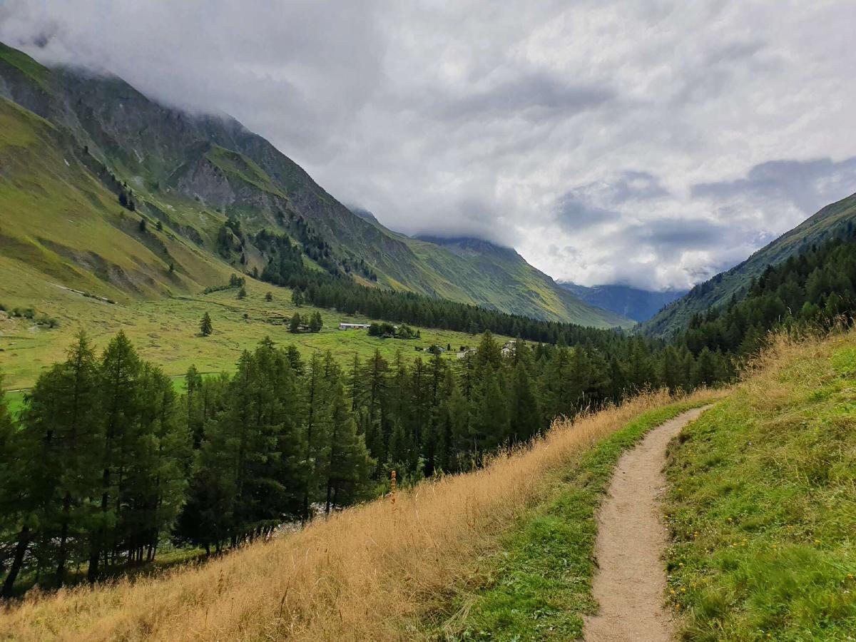
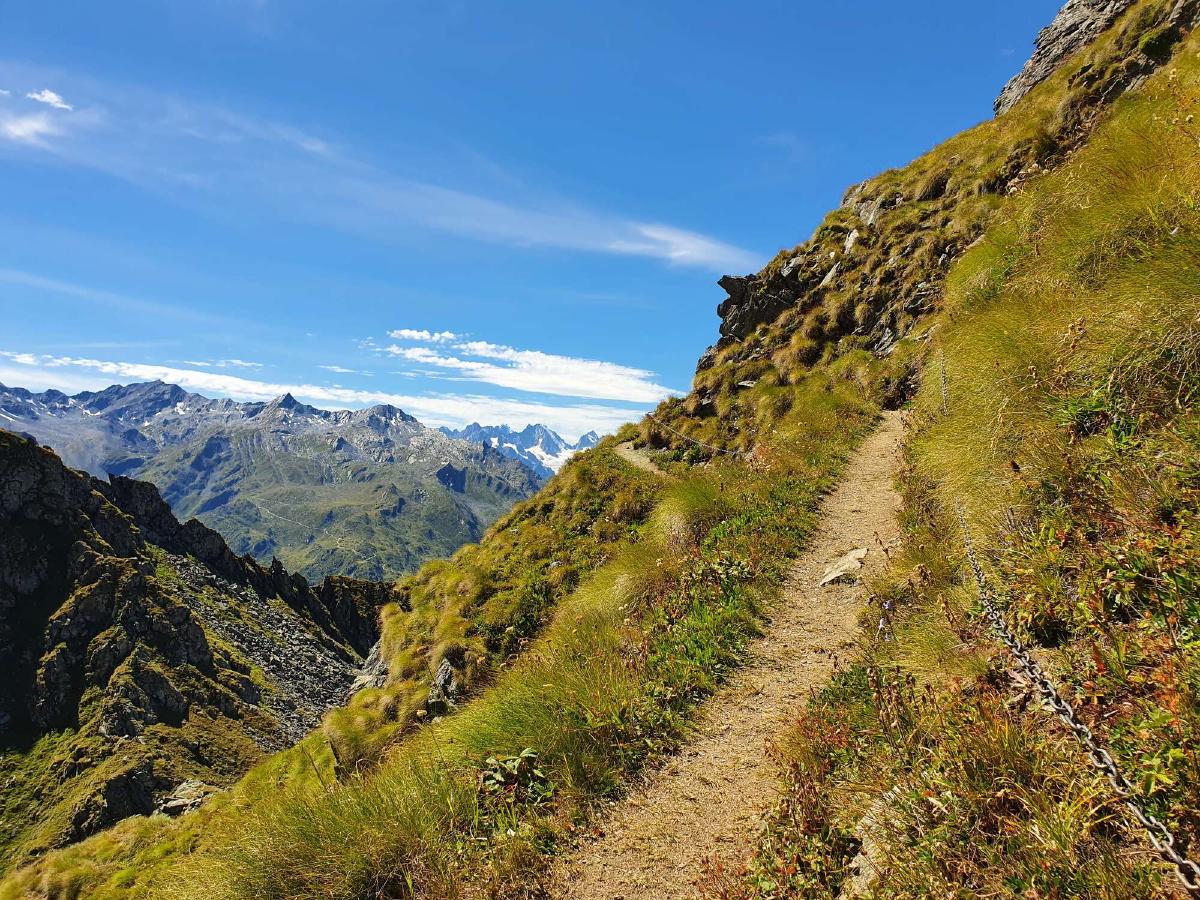
Eventually, the paved road ends and the trail continues over alpine pastures. It gets steeper and steeper as it winds its way up towards the Col de la Croix, the first of many passes. It is now uncomfortably hot, but since I’m still fresh and in good spirits I quickly reach the top. I start thinking about lunch, but I have very little water left and there’s no source in sight. Instead of descending towards Lac de Lovenex, I take the direct path to the next pass. There are some exposed sections, but nothing I can’t handle.
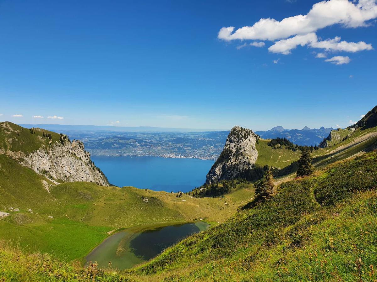
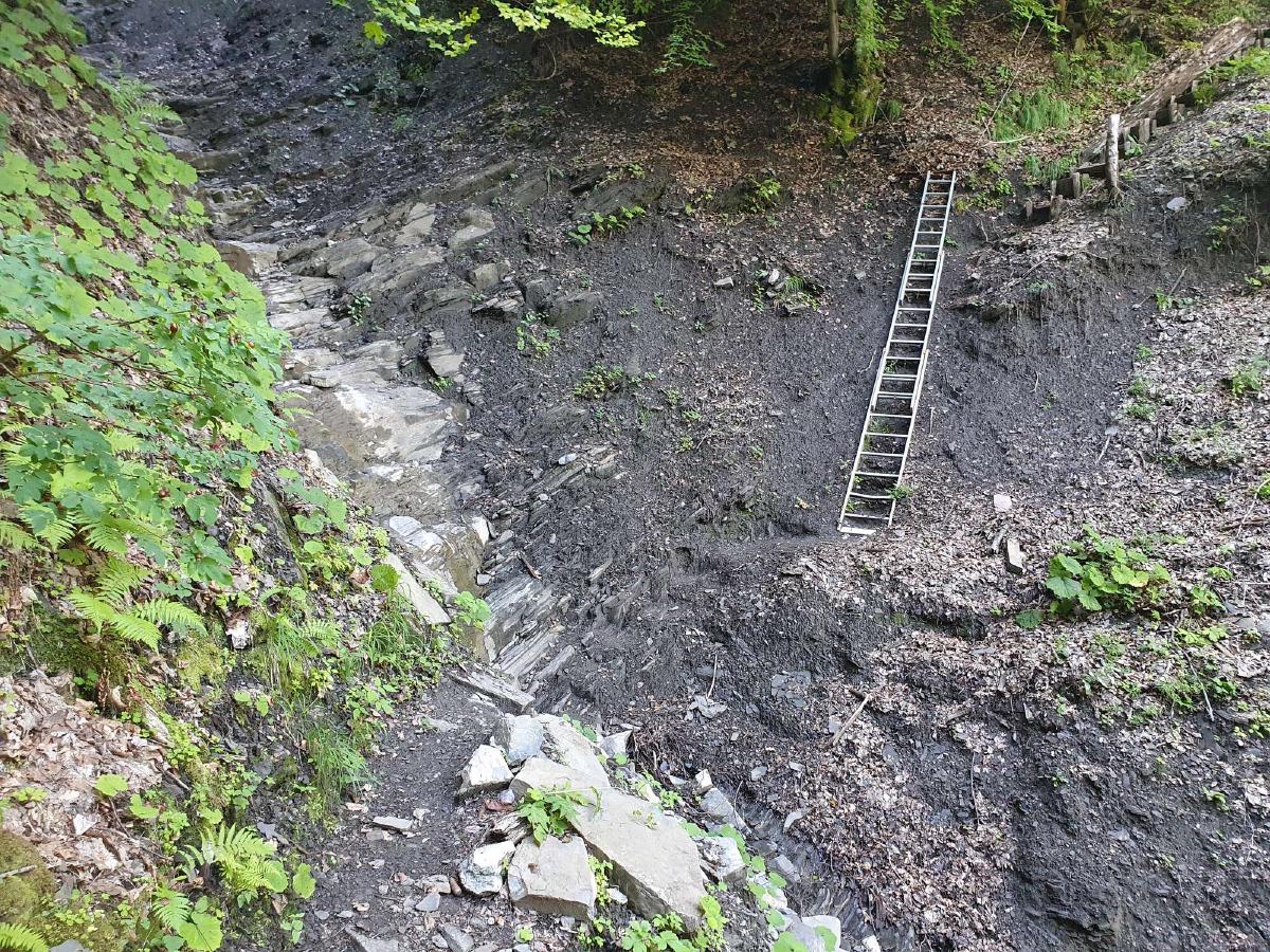
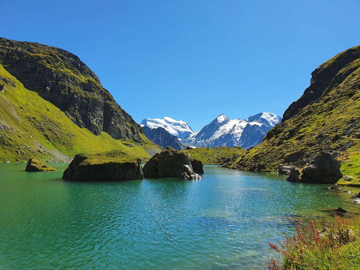
I find a stream just as the Lac de Taney comes into view. Even though I’m not very hungry, I take a break and eat a peanut butter tortilla. I’m in a good mood. Soon I reach the lake, which is quite beautiful, but there are also a lot of people there. Since I prefer solitude, I continue on. The trail down to Le Flon is still quite crowded, but after that I’m finally on my own again. I have read good things about the path toward Torgon, which were soon confirmed. There is a lot of nice single track, with some exposed sections and even a ladder to negotiate a particularly steep slope.
Since I’m making good progress, I already start thinking about my first resupply. I have packed about two days worth of food, expecting to resupply in Morgins. But now I decide to instead resupply in Torgon, in case I reach Morgins before the shops open tomorrow morning. I also use the opportunity to grab an ice cream.
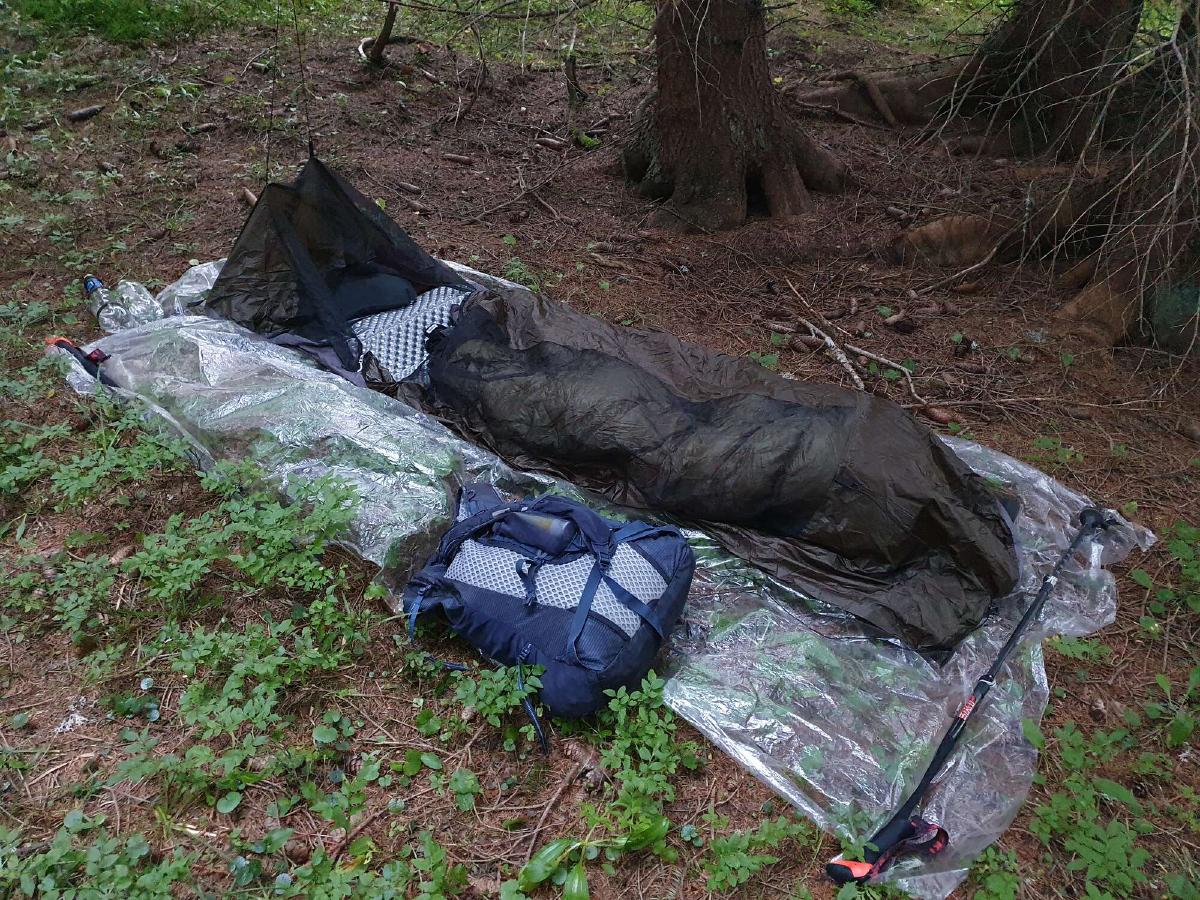
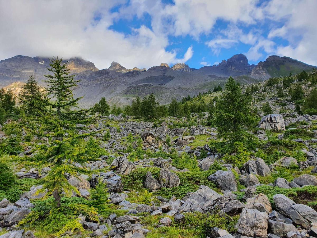
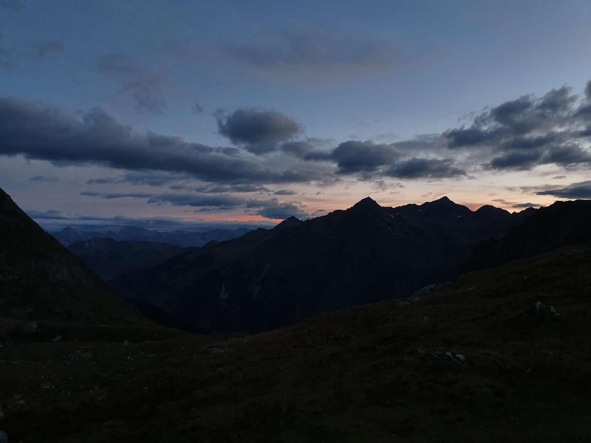
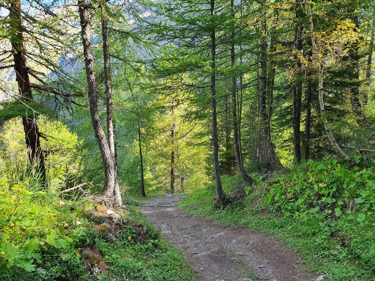
At around five o’clock I come across a little hut with a picnic area, which would be nice to sleep in. It’s still a bit early though and I don’t have a lot of water with me, so I decide to continue on. As I’m walking along the forest road, I feel discouraged for the first time. Doubt begins to creep in about finding a good place to bivouac. The map doesn’t look encouraging. I listen to a podcast to distract myself, but it’s not very captivating. I come across an empty house with a flat lawn, but the place gives me a bad feeling. A bit further on I leave the trail to look for a good spot, but the forest is dense and the ground uneven. I continue hiking, and after a steep ascent I reach the edge of the forest, where I find a relatively flat and vegetation-free spot. I reflect on the day as I’m having dinner, and then settle down for the first night on trail.
Day 2 (21.08.2020): Forêt de Draversa - Susanfe
Distance: 34 km; Ascent: 2'229 m; Descent: 1'883 m
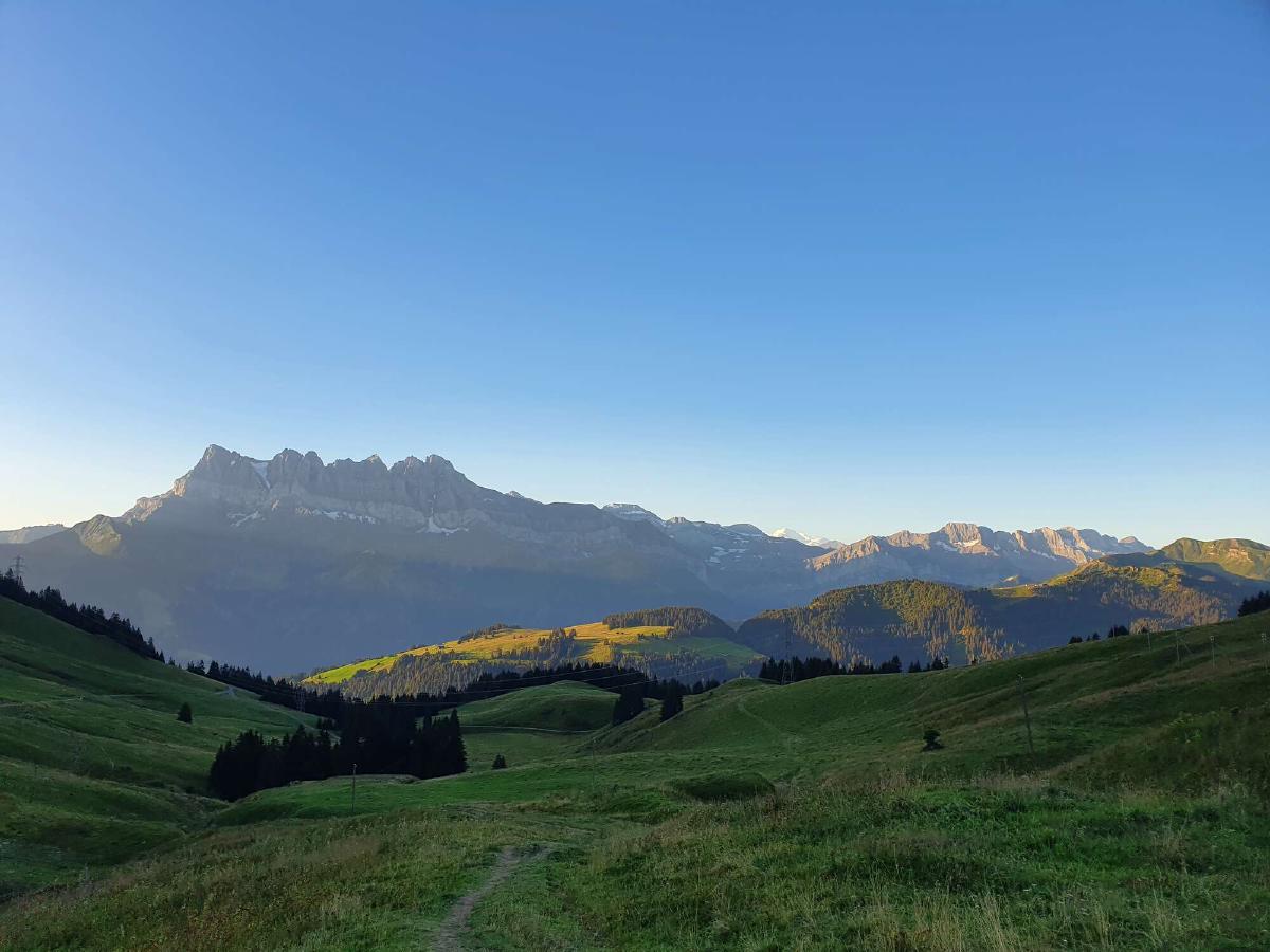
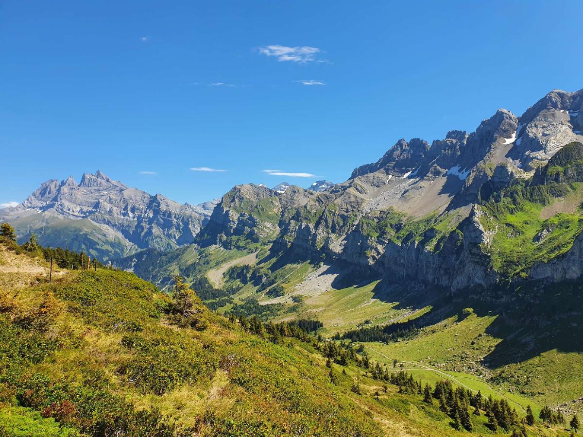
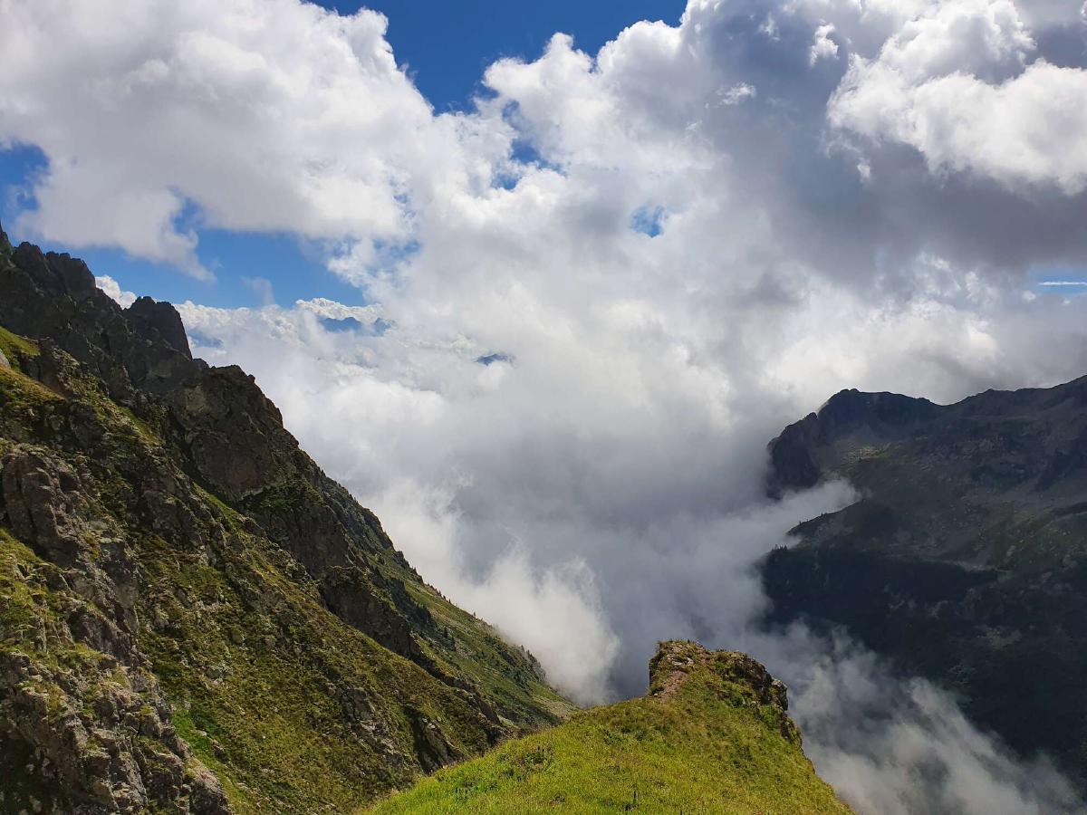
The ground beneath me isn’t as flat as I had hoped and my sleep is interrupted multiple times when I slide off my sleeping pad. Even so, I feel rested and full of energy when I wake up at dawn. It doesn’t take me long to pack all my stuff and get going. The temperature didn’t drop a lot during the night and there’s a pleasant warm wind blowing. I enjoy the solitude of the early morning on the way to the Portes de Culets. Once I reach the top, I am offered an epic view of the Dents de Midi, today’s goal.
The descent into Morgins is more tedious than expected, as it consists of a lot of paved roads. It’s already 8 o’clock when I reach the town, so I could have resupplied here without a problem. Since I have enough food, I just refill my water bottle at a fountain and continue on. The trail follows the bottom of the valley for a while. Thanks to a little river, it is nice and cool. At a picnic area, I encounter another hiker. We chat for a little while, and it turns out that he is also doing the Alpine Passes Trail. Since it looks like he needs some more time to get ready, I continue on alone, hoping to meet him again sometime.
As the trail climbs above the treeline it starts to get uncomfortably hot. But once I reach the Portes du Soleil I am rewarded not just with a cool breeze, but also with another fantastic view of the Dents du Midi, this time from a slightly different angle. Next comes a long section of relatively flat trail along the mountainside. I start thinking about lunch but decide to tackle the climb to Col de Cou before the sun hits its peak. On the top of the pass, it is windy and there are a lot of people, but I find a nice spot to take a break a bit further down. I have lunch and lie down in the sun for a long while, hoping that my new acquaintance from the morning would catch up to me. But the longer I wait, the more restless I get, and so I continue hiking alone.
What comes next is my favorite section so far. At first, the trail follows a ridge with spectacular views of the Dents Blanches, then it drops down into the forest. There’s a clearing right next to the trail, allowing for a stunning vista of the majestic Dents de Midi. I couldn’t be happier right now.
After passing by the popular restaurant at Barme there’s a brutal ascent in the afternoon heat. Even though I’m exhausted, I still decide to take a short detour to the Signal de Bonavau, which is advertised as a scenic viewpoint. It turns out not to be worth it, especially after all the views I’ve been spoiled with for the rest of the day.
The final climb of the day into the Susanfe valley requires me to gather all the remaining strength and focus that I have, as it features some pretty steep and exposed spots. At least the sun has disappeared behind the mountains now and the air is starting to cool down. As I leave the technical section behind and enter the valley, I am greeted not just by more amazing scenery, but also with a wave of anxiety about finding a suitable camp spot. I sit down next to the trail and eat dinner. There are three young men ahead of me who look like they’re also camping up here tonight.
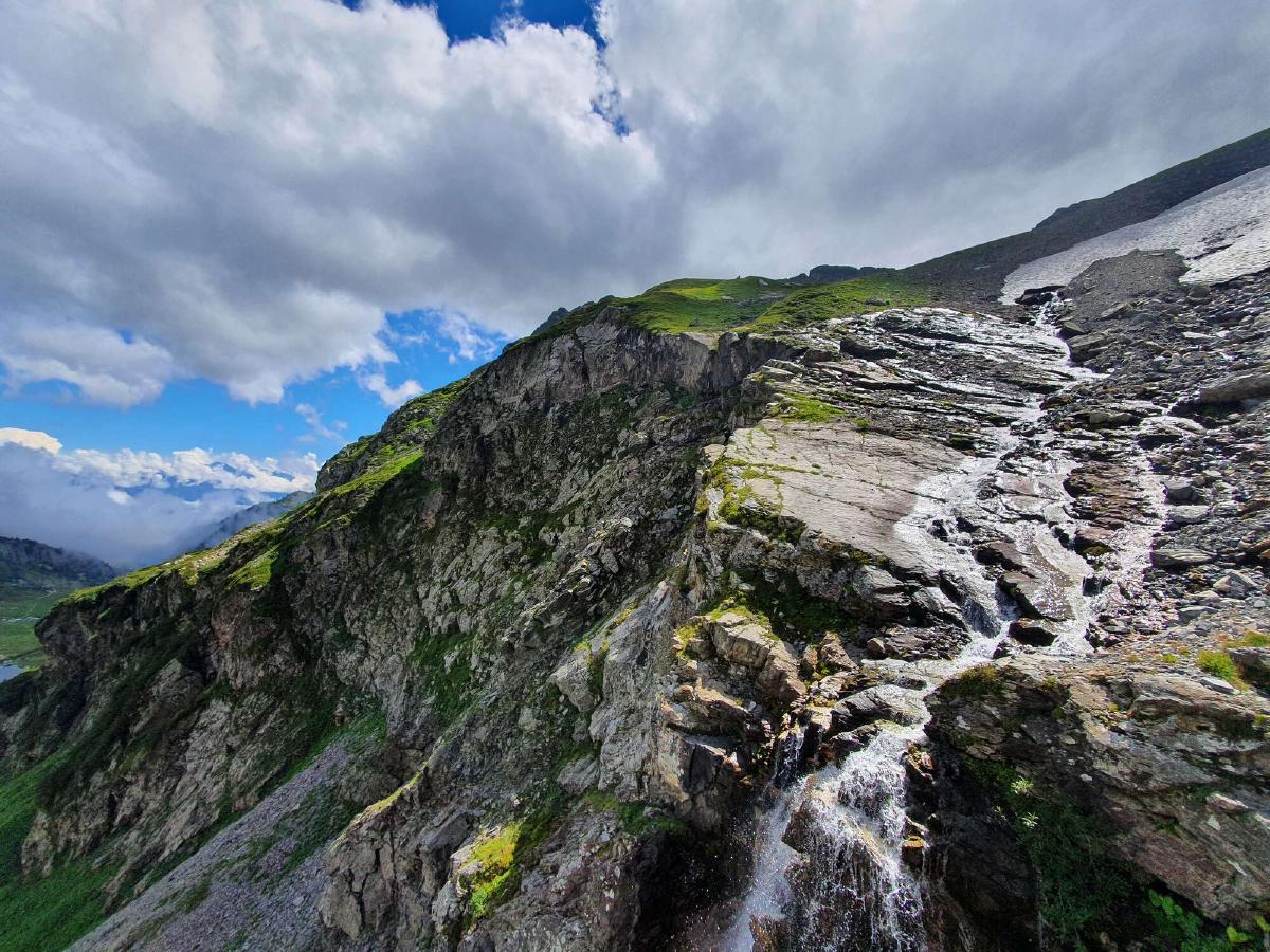
I decide to follow a side trail and soon find a nice flat spot. The three guys I saw earlier have set up their tents a bit further down and are now showering under a waterfall on the opposite side of the valley. I need water for the night and could use a wash myself, so I leave most of my stuff behind and go join them. The short conversation we have is a bit awkward because of the language barrier. The shower on the other hand is excellent and I feel really refreshed afterward. Since it’s still quite warm, I don’t mind the ice-cold water. I also use the opportunity to wash my sweaty clothes.
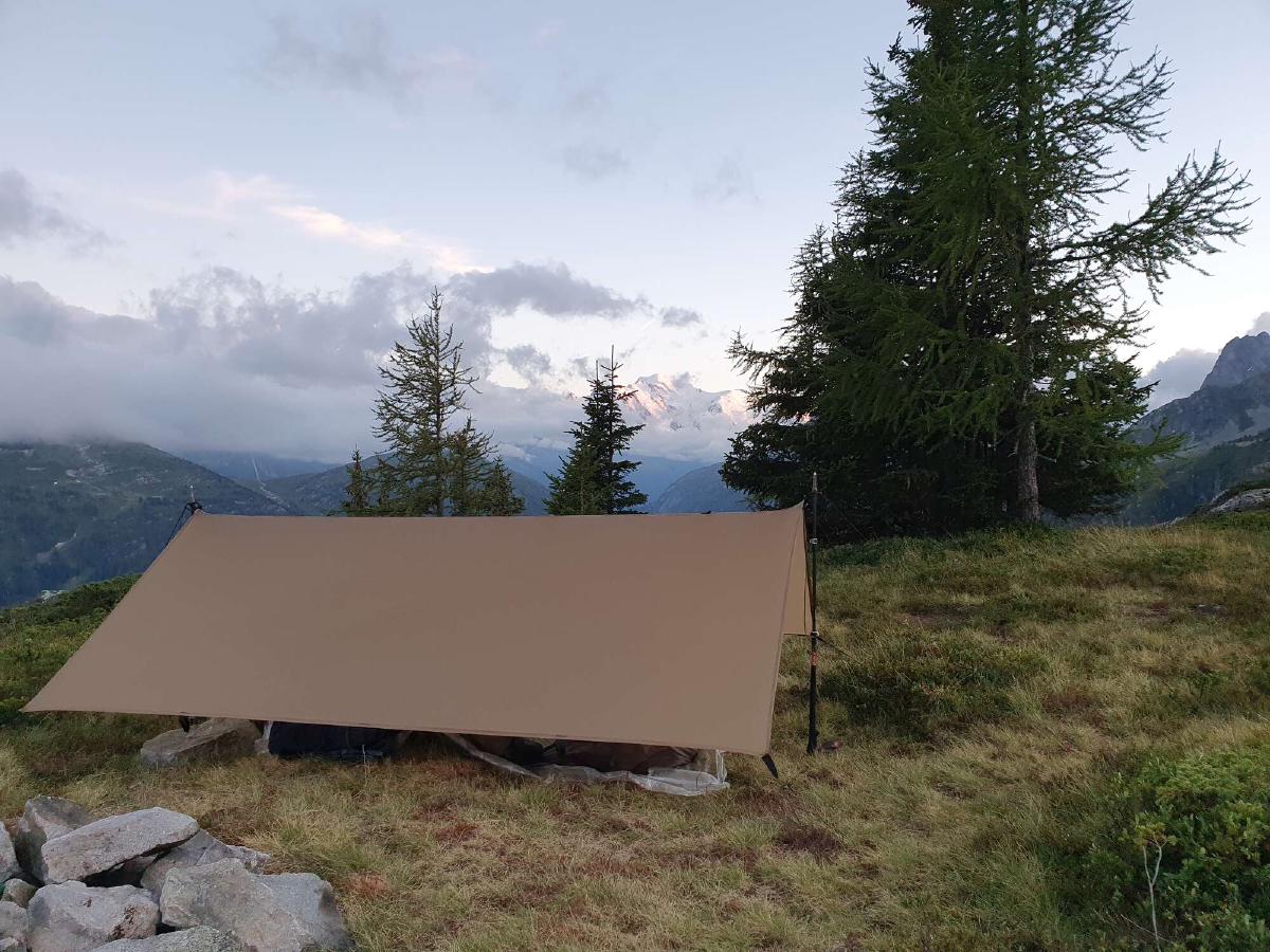
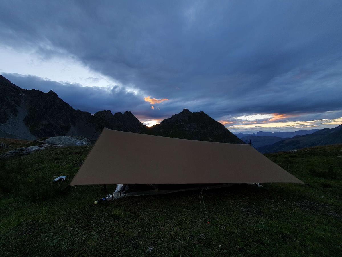
When I get back to my camp spot I debate for a while whether to set up my tarp or to just sleep under the stars. In the end, I go for the safer option. Since I haven’t set up this tarp in almost a year I struggle a bit at first, but eventually I manage to get a good pitch. As I get ready to go to sleep I feel a bit lonely and overwhelmed, but thankfully writing in my journal helps to calm me down.
Day 3 (22.08.2020): Susanfe - Sé Jeur
Distance: 23 km; Ascent: 1'917 m; Descent: 1'828 m
I get awoken by the sound of raindrops hitting my tarp. When I look outside, all I see is fog. I’m annoyed but thankful that I set up the tarp in the evening. There’s no reception, so I can’t check the forecast to see how much longer the rain will last. I wait for a while, hoping for it to stop raining, but it seems to only get stronger. My clothes are still a bit damp from yesterday’s wash. At least it’s not all that cold. Finally, I decide to just suck it up and start packing up.
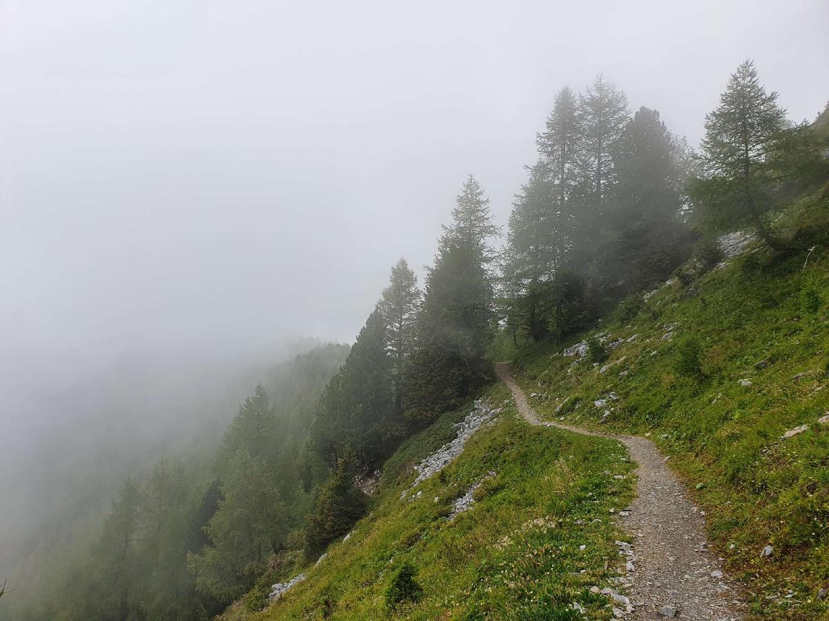
On the ascent, I keep having to adjust my rain gear to avoid getting soaked either from the rain or from sweating. I distract myself by listening to a podcast. As I approach the Col de Susanfe, it gets uncomfortably cold and windy. I hurry to get over the pass. On the way down I cross paths with a surprising amount of people, considering the bad weather. The trail has some challenging sections, especially with all the rocks being wet.
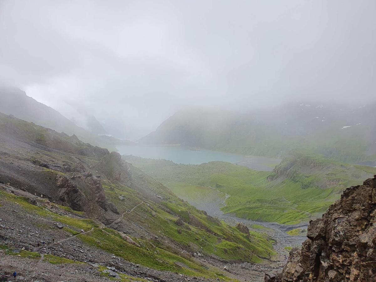
The visibility starts to improve as I descend further, and I can start to make out the shape of the Lac de Salanfe. When I reach the lake, it has stopped raining and the clouds are beginning to part, revealing slivers of blue sky. I find myself in a beautiful alpine landscape right at the upper edge of the treeline. Combined with today’s first rays of sun, this does wonders to my morale. Down by the dam I check the weather forecast. No more rain for a while.
The day gets even better when I discover a bunch of blueberry bushes right next to the trail to the Col d’Emaney. I set down my pack and start picking the tiny sweet treats, at first eating them right away, then putting them aside for later. I have lunch in the Vallon d’Emaney. It’s windy and the sun keeps disappearing behind passing clouds, but at least my muesli tastes amazing with the addition of the freshly picked blueberries.
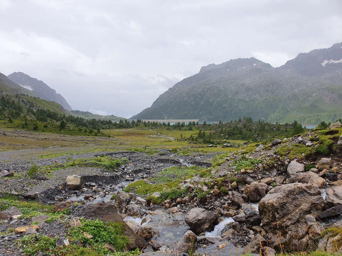
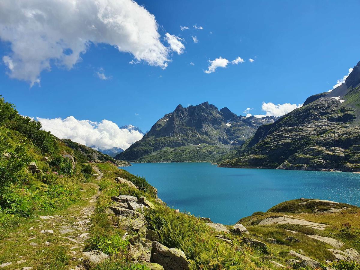
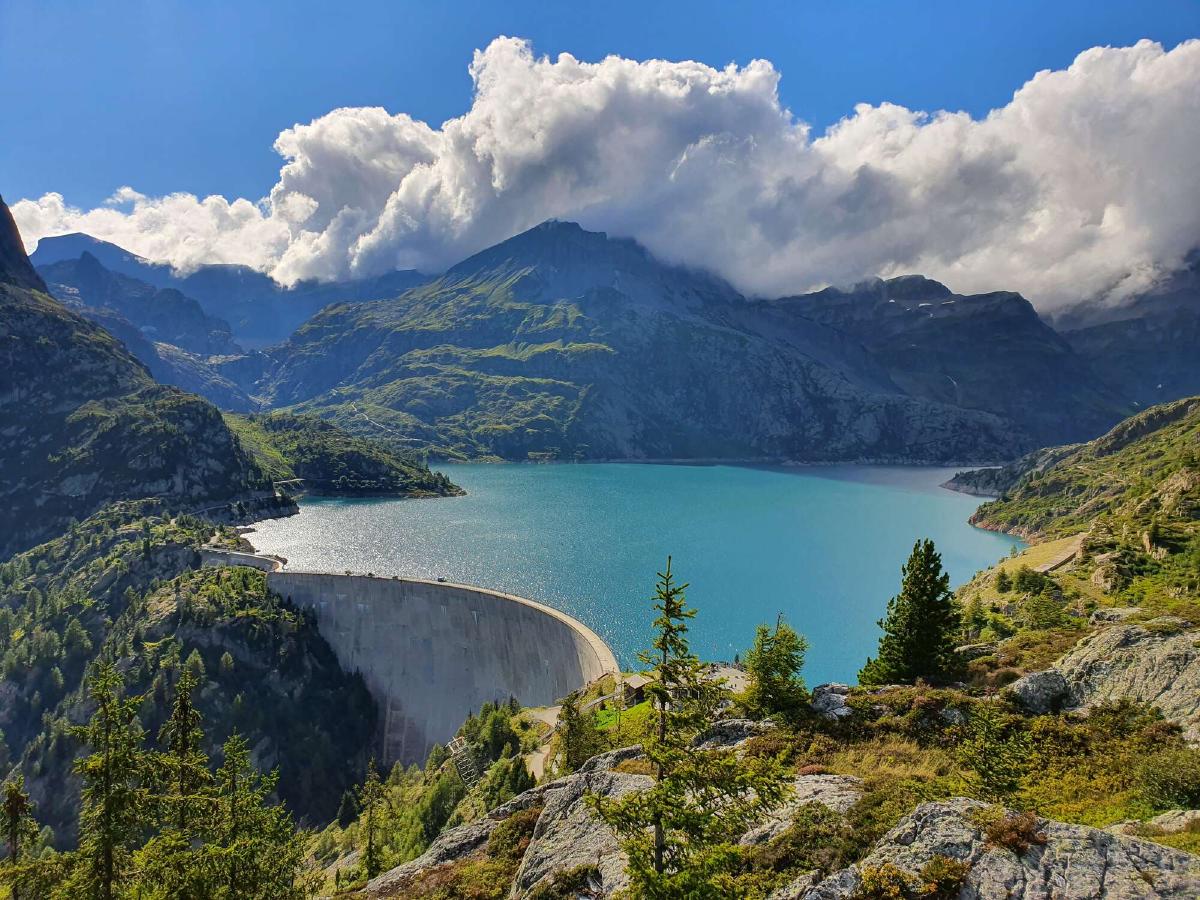
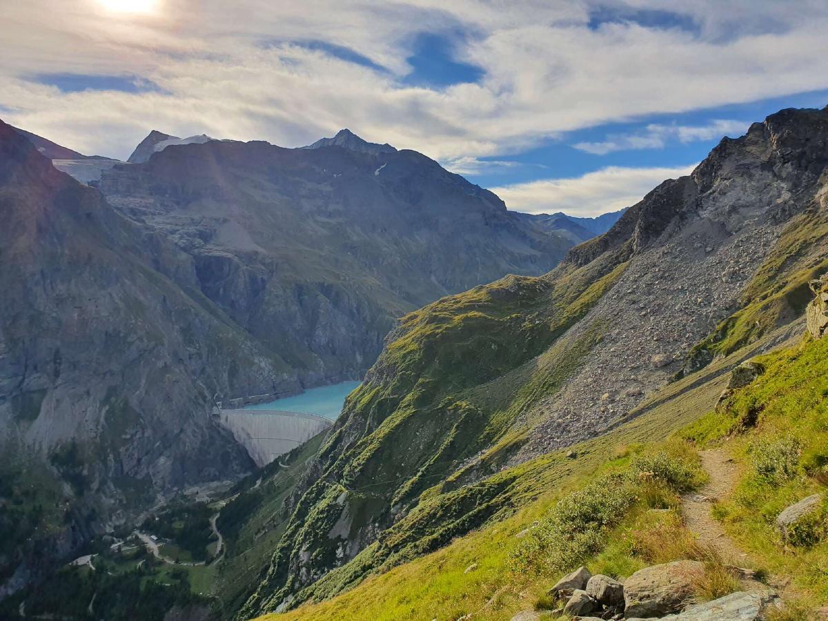
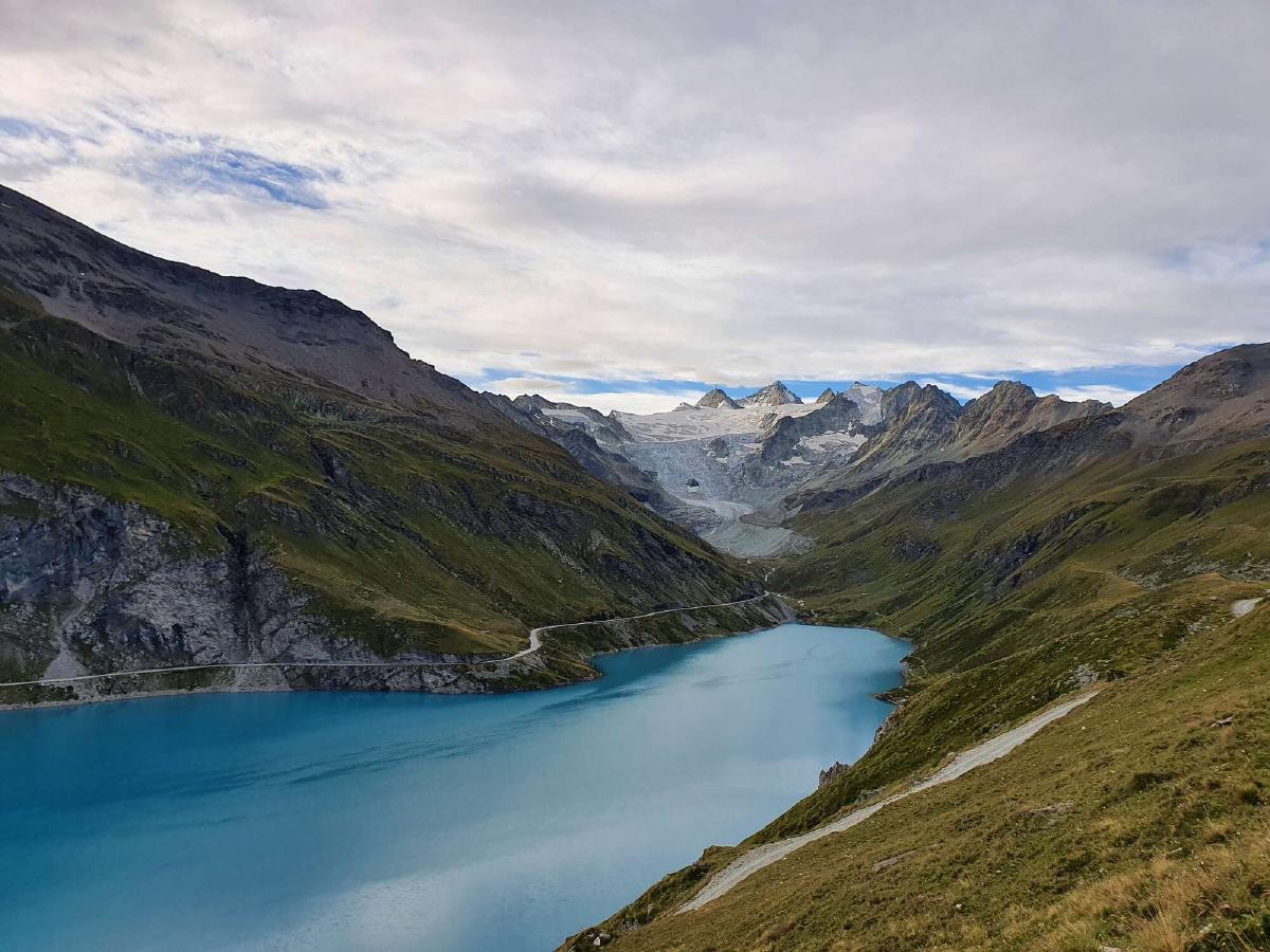
The third and final pass of the day is strenuous and challenging, but at the end I’m rewarded with a spectacular view of the Lac d’Emosson. The descent to the lake is a pleasure, but the roadwalk alongside it less so. Even though the landscape around me is absolutely stunning, I’m bored by the flat road and feel a bit lonely. I want to call someone, but there’s no reception. The last section leads through a long tunnel, which at least changes things up a bit. When I finally reach the dam I head straight to the restaurant and order a big bowl of ice cream.
I’m not sure whether the trail to Sé Jeur is closed since there seems to be some construction going on. There are no signs though, so I just go through. I quickly reach the top of the hill and find a good campsite. The view up here is amazing, especially when the clouds part to reveal the massive Mont Blanc and its neighbors.
Day 4 (23.08.2020): Sé Jeur - Champex-Lac
Distance: 29 km; Ascent: 2'393 m; Descent: 2'955 m
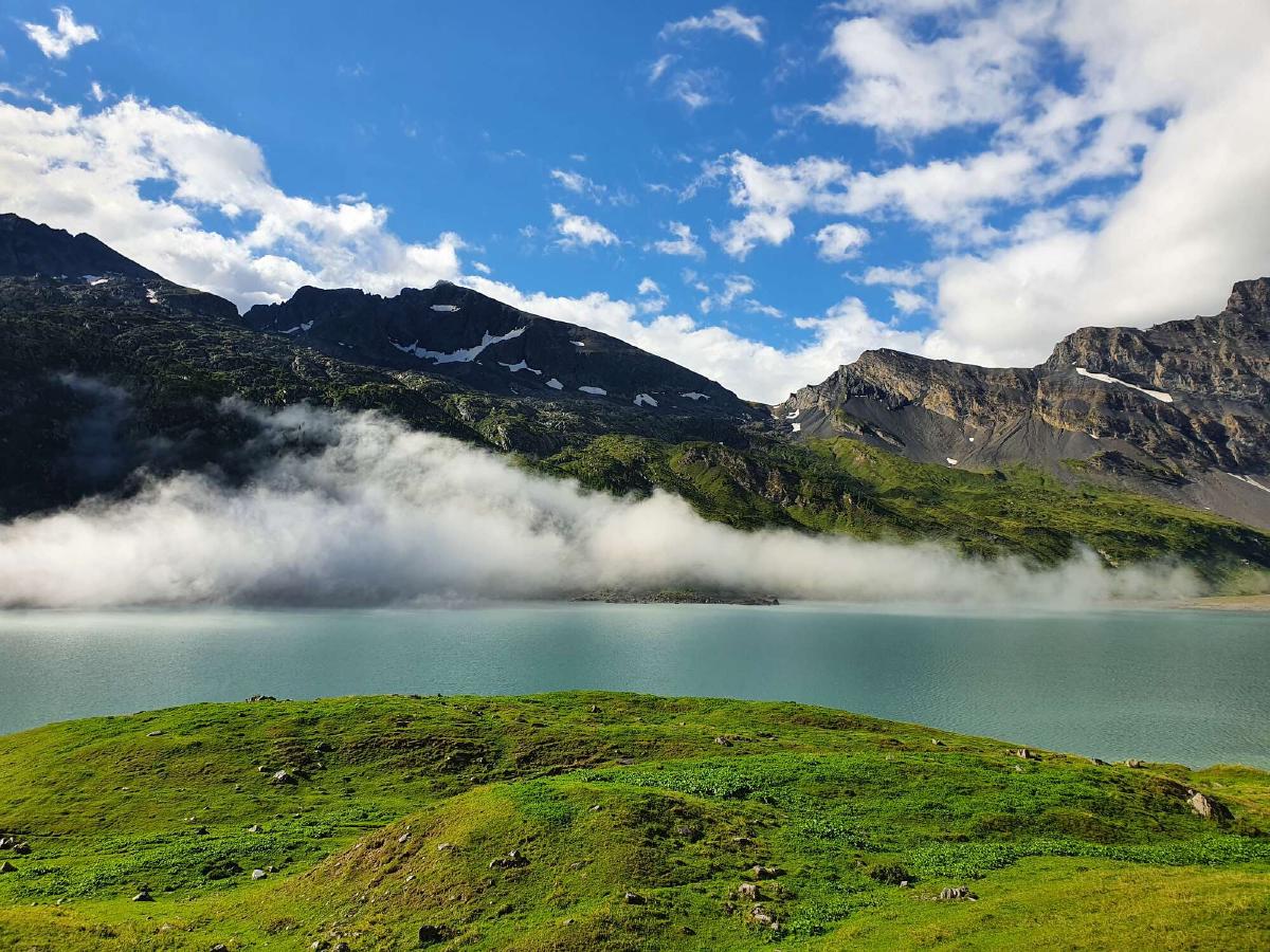
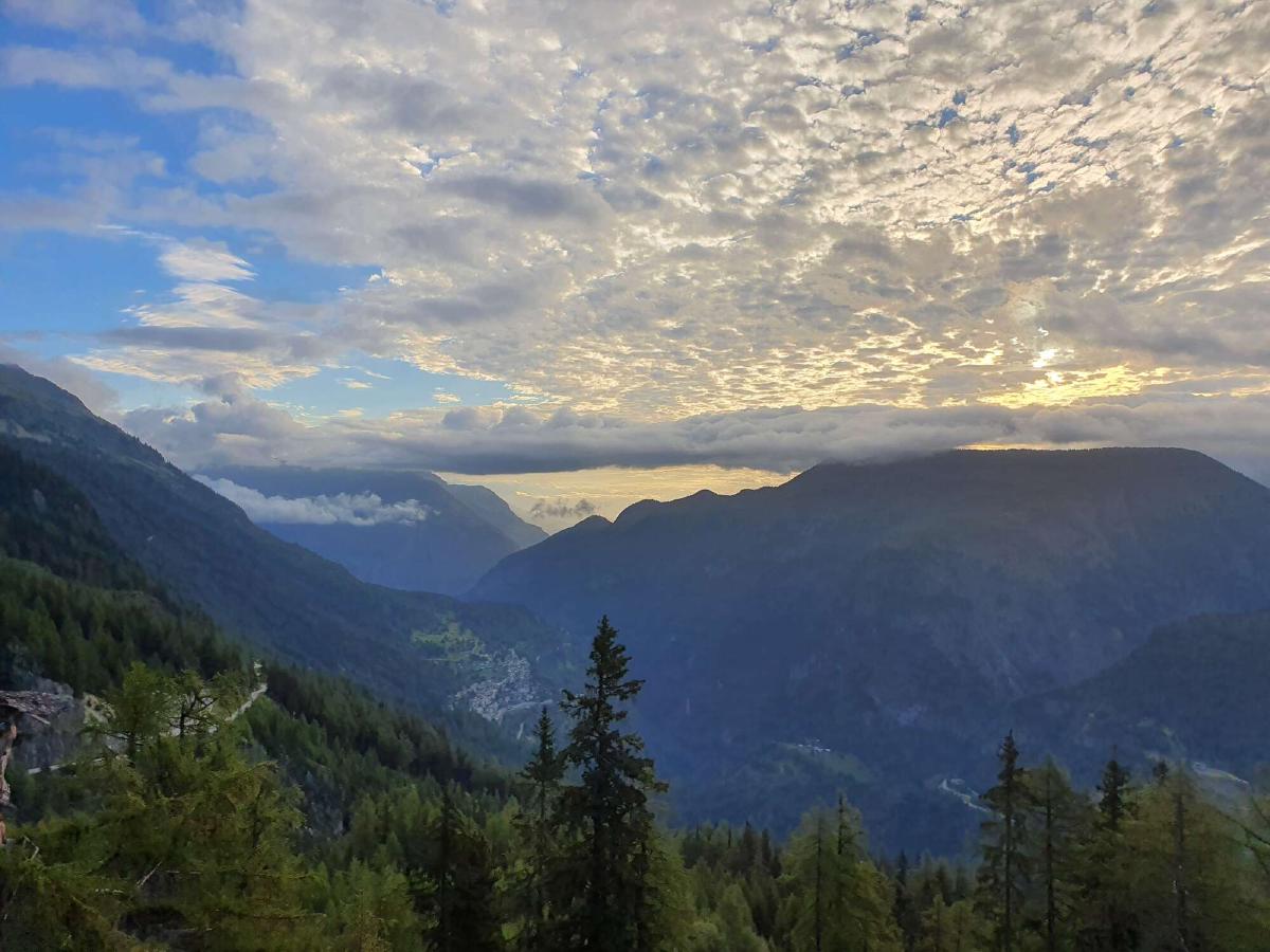
When I wake up, I am greeted by an amazing spectacle of the clouds in the morning light. What’s less pleasant is that my tarp and groundsheet got wet from condensation during the night. I pack up and start the descent to Le Châtelard, enjoying the calmness of the morning. I make good time to the bottom, but on the following ascent I need some additional motivation. I put on some music and settle into a rhythm.
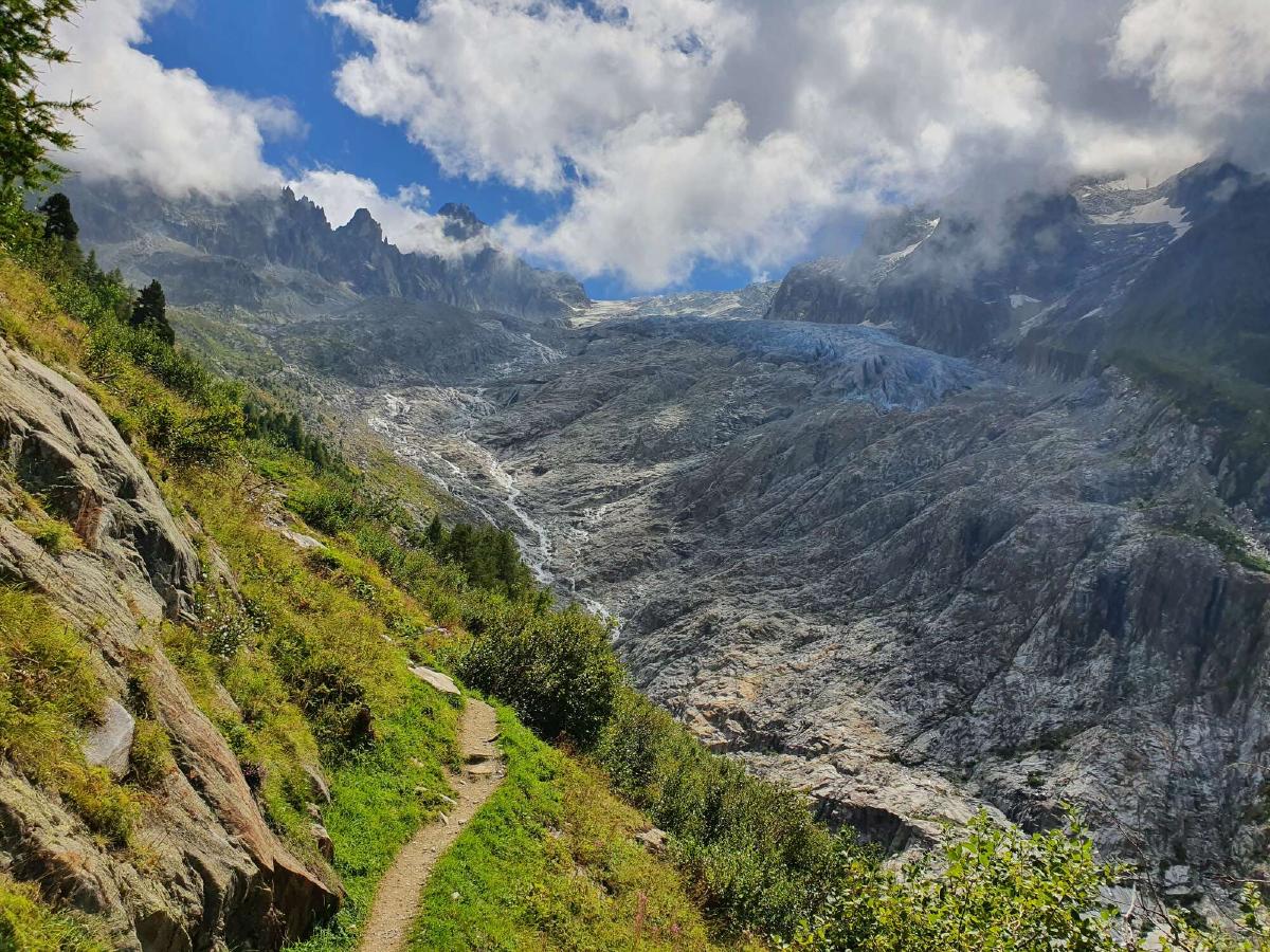
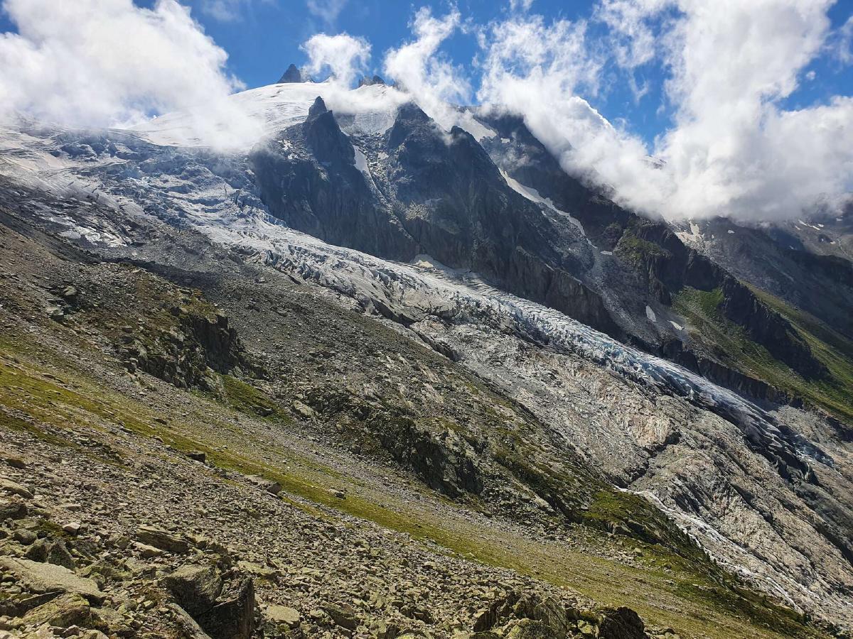
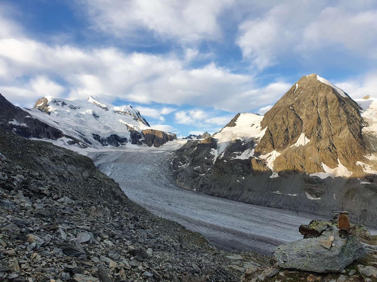
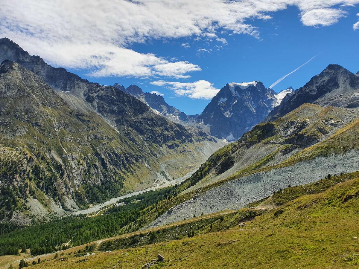
It’s still overcast and at one point I have to walk straight through a cloud. There is some nice singletrack leading up to the pass, and when I round the corner, I am offered an amazing view of the Trient valley and glacier. Up until this point, I was still debating whether to take the official route over the Col de la Forclaz or to go through the Fenêtre d’Arpette. But now I quickly decide for the latter, especially since the weather seemed to be improving.
I reach Trient at noon and head for the campground where I stayed two years ago when I hiked the Walkers Haute Route. This time however I only stop for lunch and to dry out my wet gear.
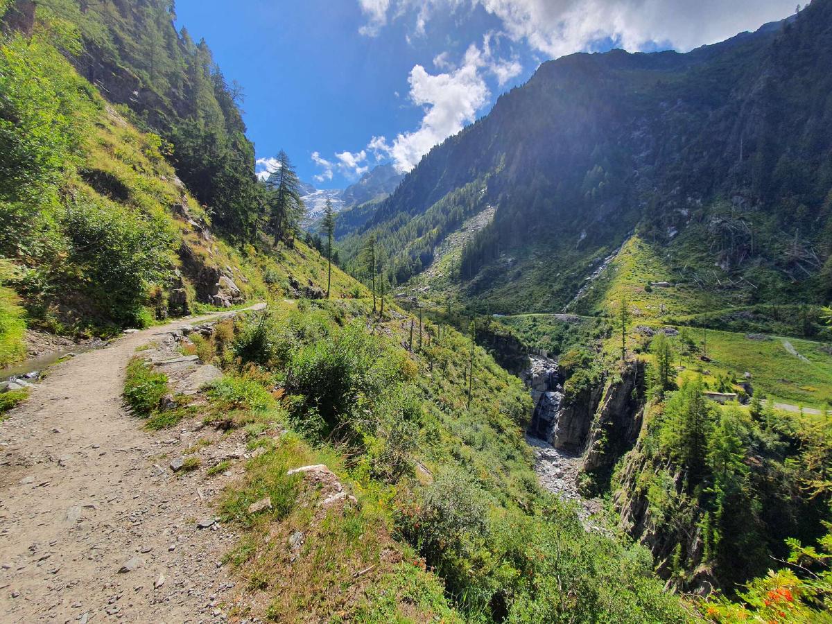
After the break, I join the familiar trail which, after a short ascent, follows an irrigation channel typical for the region. There are a lot of people here and even more around the restaurant at the end of the valley. I’m a bit annoyed that I have to weave through the crowds, but afterward I have the trail almost to myself.
The path gets steeper and steeper, but I know what to expect and still feel surprisingly good. The incredible view of the glacier also helps. At some point I pass by a little hut where two people are having a full-sized fondue that they must have carried up here. I also cross paths with a bunch of people who seem to be hiking the Tour du Mont Blanc (TMB), some of them carrying ridiculously huge packs.
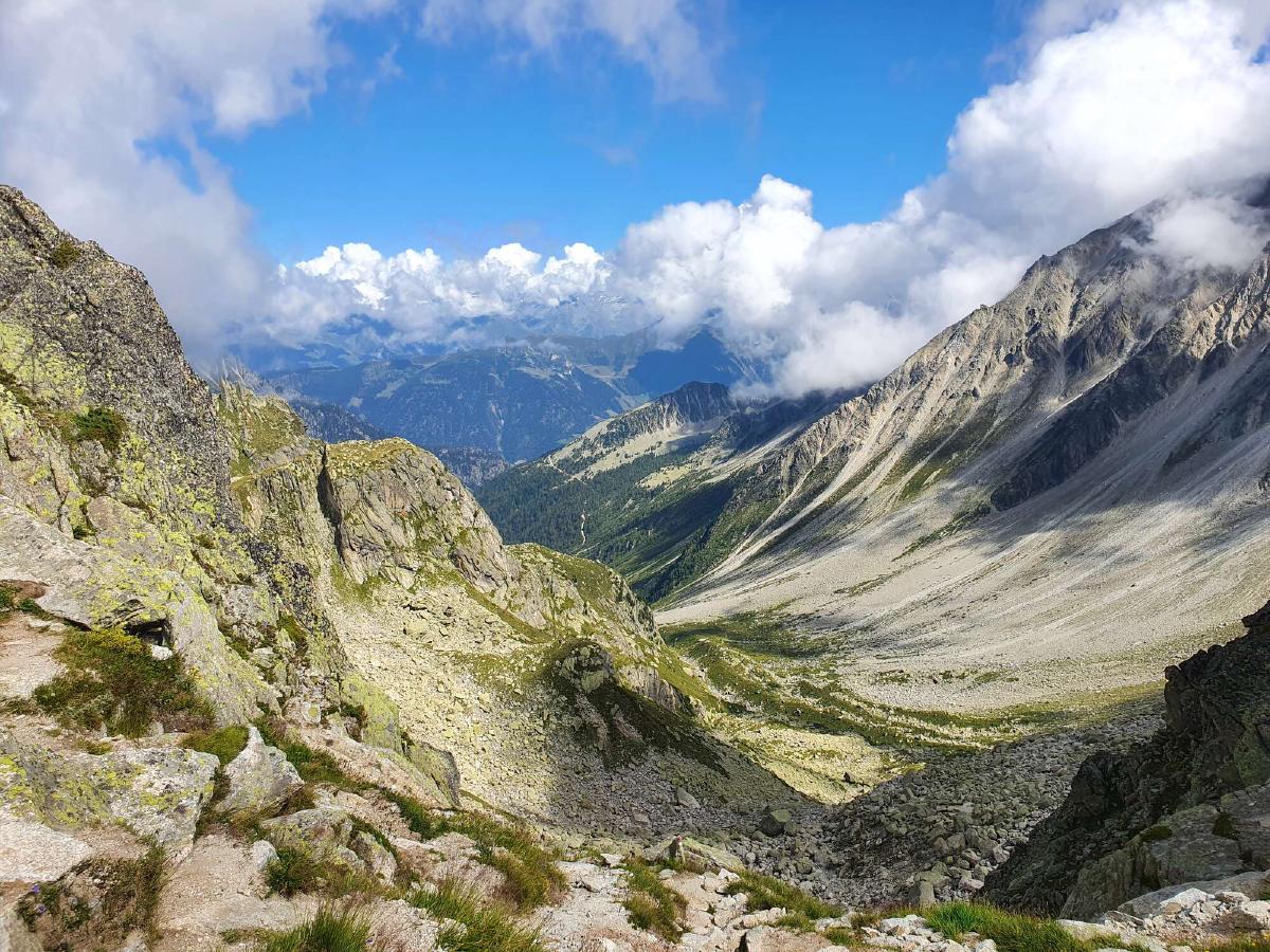
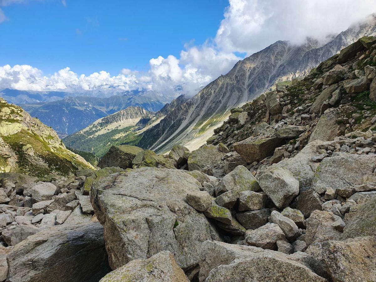
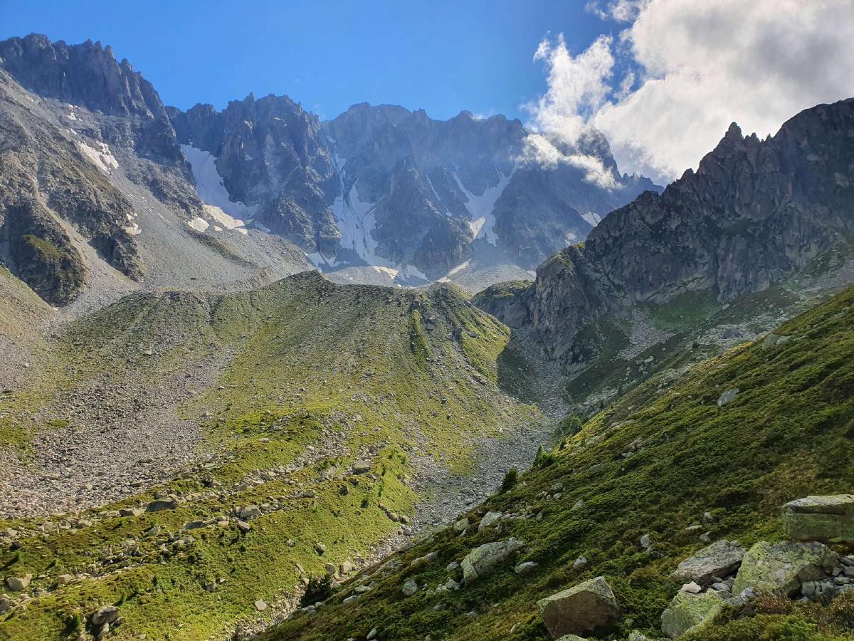
Eventually, I reach the pass. There are just two other people up here, most have already descended. The trail drops down steeply on the other side, so I’m glad to have trekking poles to help me. Then it levels out somewhat but doesn’t get any easier, as it leads straight through a boulder field. I lose the trail a few times and have to find my own way over the rocks.
Even the following dirt path is slow going, as it’s uneven and features a lot of awkward step-downs. What sweetens things up though are the blueberry bushes right next to the trail, which I’m surprised to see are full of big, ripe berries. I guess most hikers either don’t look down or don’t know that they are edible.
I reach the Relais d’Arpette in the late afternoon. I decide to stop and enjoy a blueberry pie. Afterward it’s just a short but very enjoyable way through the forest to the campground at Champex. Using my limited french, I manage to book a spot for the night.
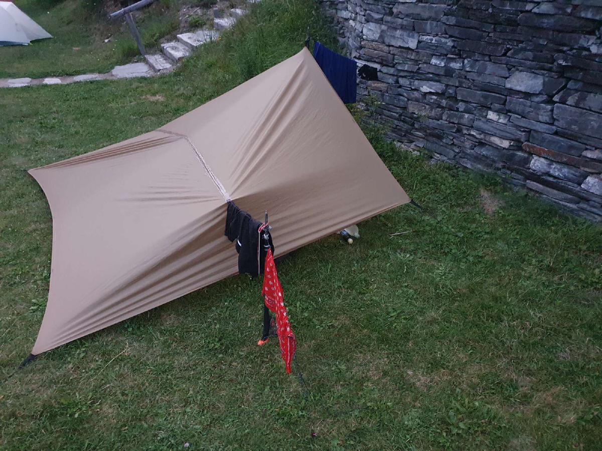
To have some privacy, I set up my tarp as a half pyramid against a retaining wall. Then I head straight to the shower, which is very refreshing. I have trouble falling asleep however, due to all the noises the other campers around me make.
Day 5 (24.08.2020): Champex-Lac - Combe de Barrasson
Distance: 33 km; Ascent: 2'262 m; Descent: 1'482 m
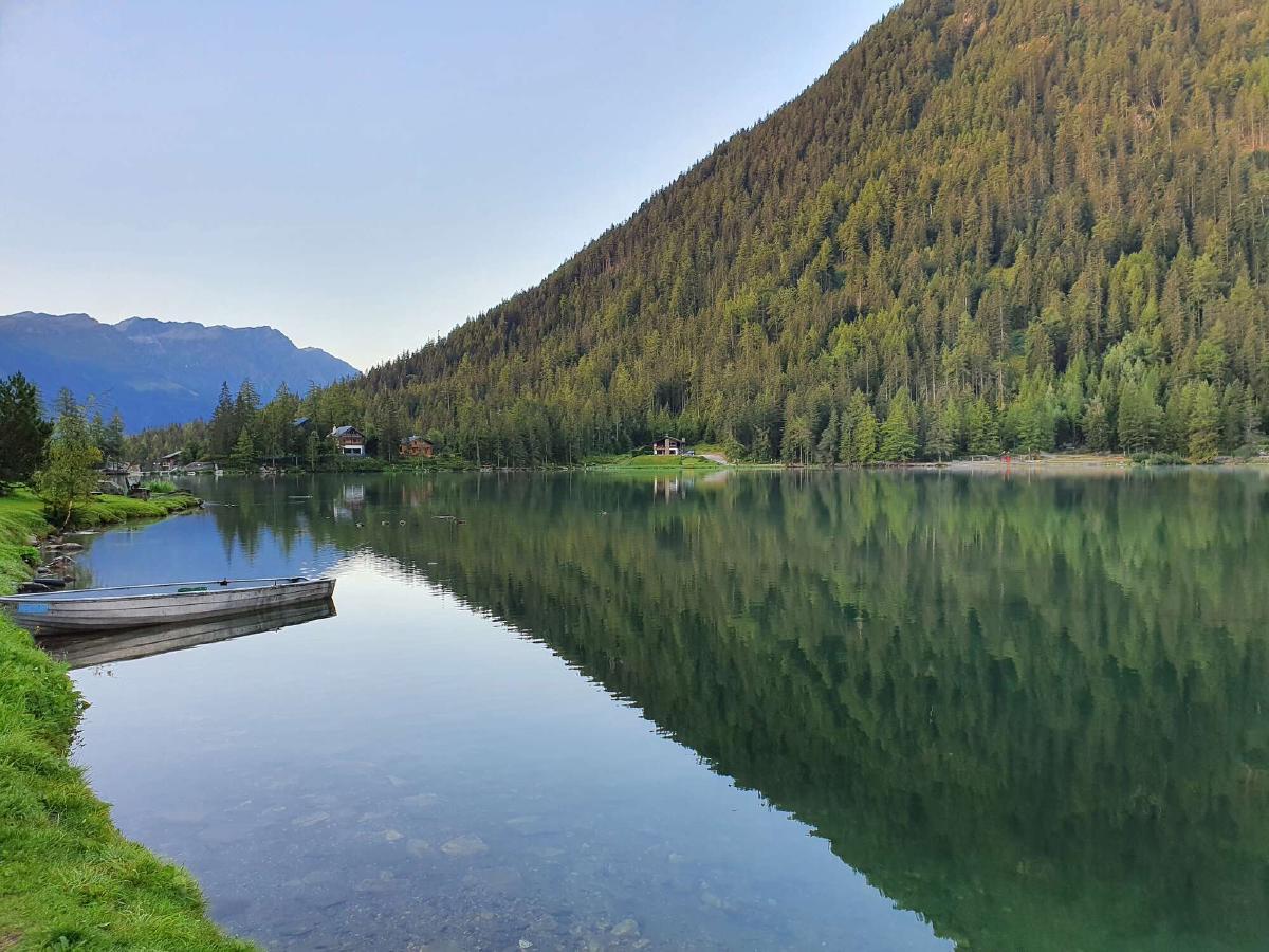
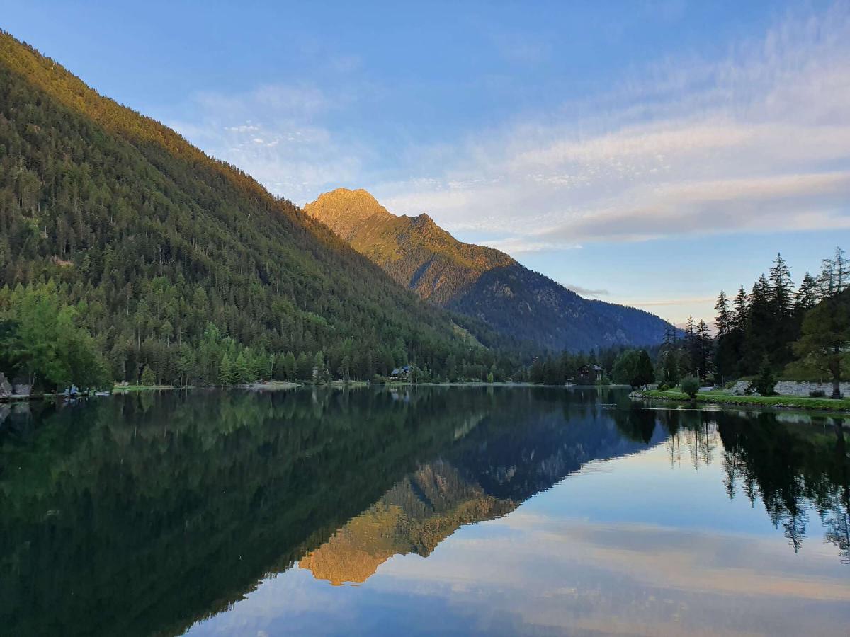
I wake up early and leave the campground while most people are still asleep or eating breakfast. I make my way through the empty town and soon reach the beautiful lake. The water is very calm and looks almost like a mirror. I feel very happy.
After a short and steep descent, the trail levels out and follows the side of the valley in the forest. Since it’s still early, there aren’t a lot of people out yet. As the morning goes on though, I start to see more and more TMB hikers coming the opposite way.
The trail alternately passes through villages, fields and forests. It’s quite pleasant, but not terribly exciting. At noon I finally reach La Fouly, the last village of the valley. I resupply at the small grocery store and eat lunch in front of it.
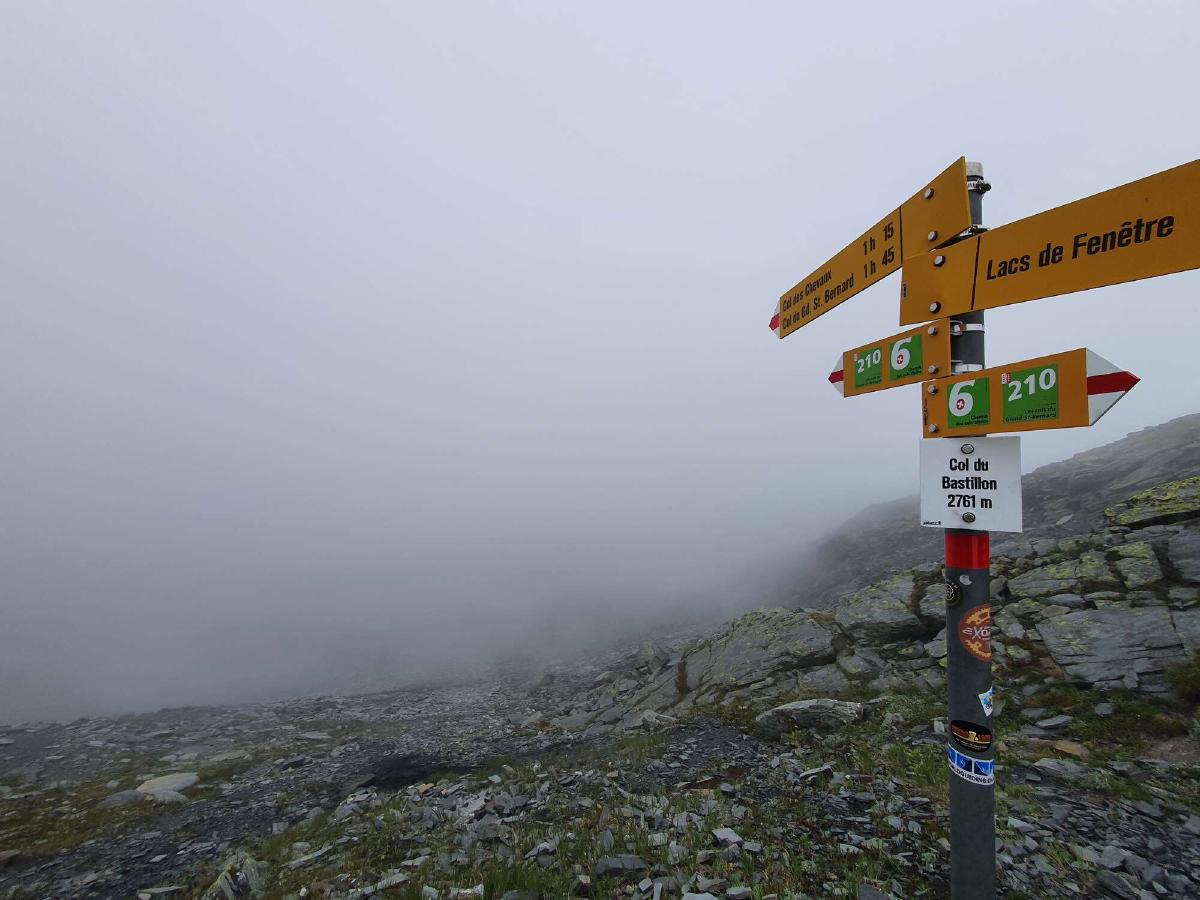
As I continue on, the clouds in the sky get darker and darker. On the ascent to the Col de Bastillon, I eventually reach them and the visibility is reduced to almost zero. Soon after the pass, the conditions start to improve again.
I get to the area where I originally wanted to camp in the early afternoon, so I decide to continue on. There’s a bit of a descent before the climb to the next pass. By now there are already some holes in the clouds revealing the beautiful blue sky.
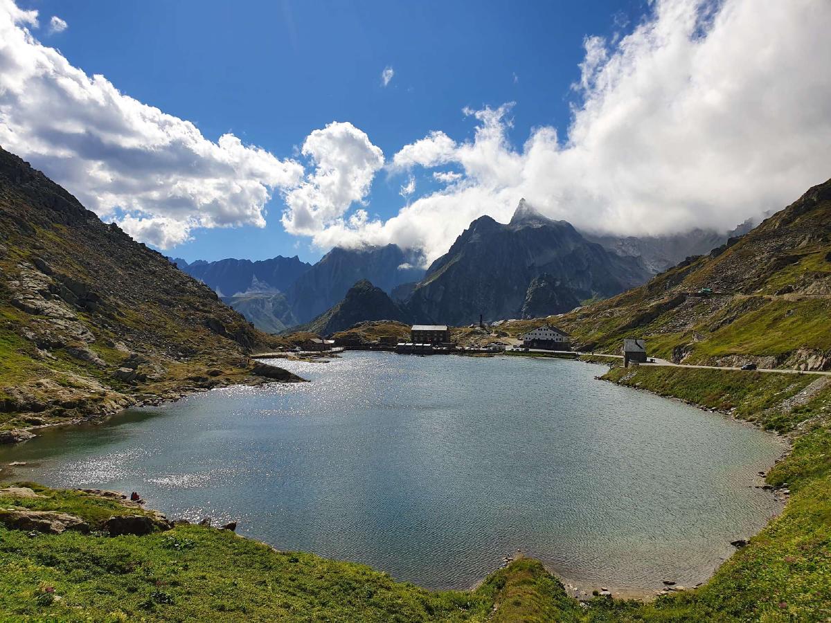
The section after the Pas des Chevaux is very enjoyable, relatively flat and just rocky enough to be interesting but not tiring. At the famous Col du Grand-St-Bernard I have a quick look around and then continue down the valley. Thankfully the road is not very busy, since the trail is always in its vicinity.
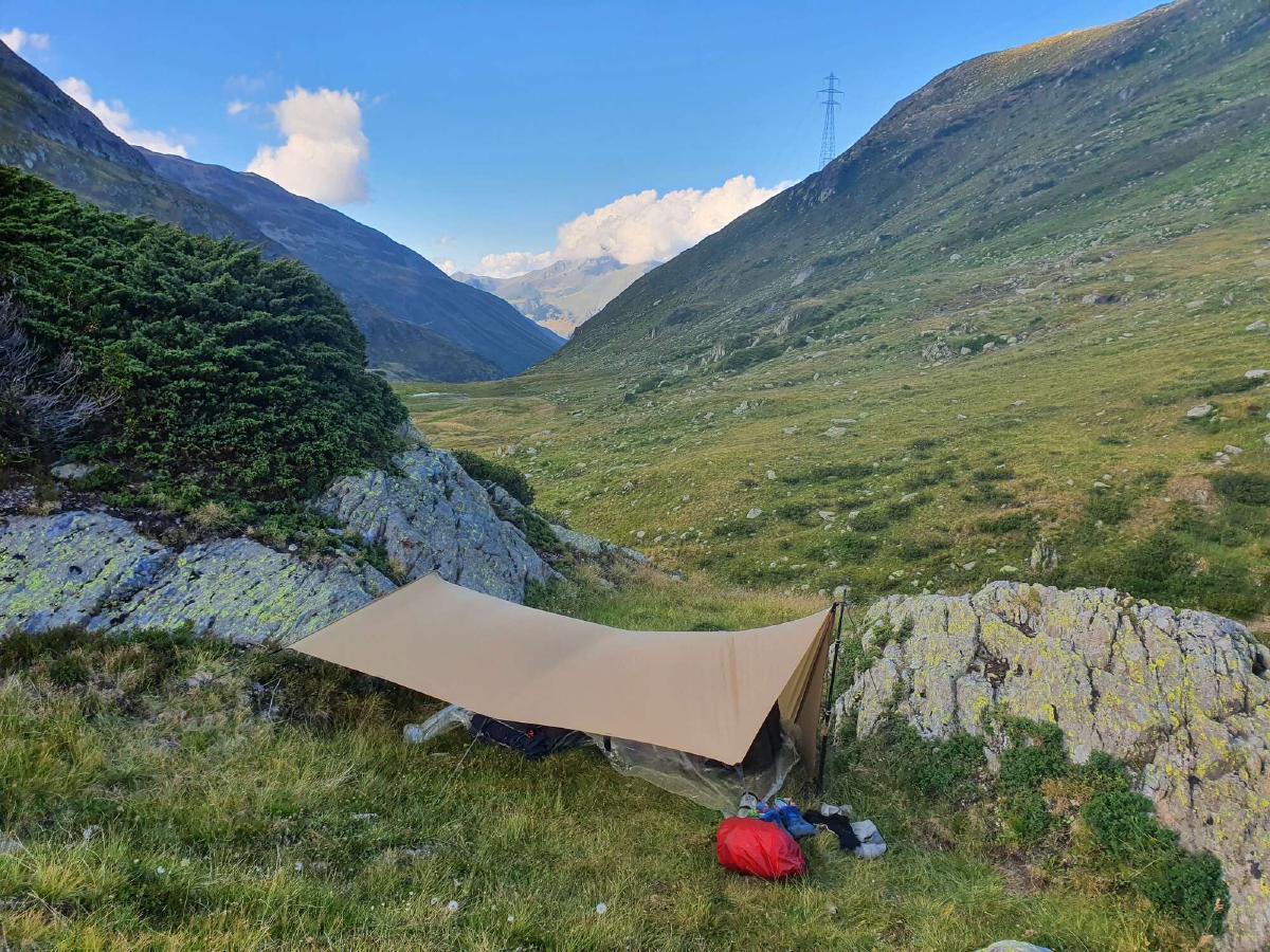
From looking at the map I’m not sure if there are any good campsites further down the valley, so I try to find one as soon as possible. After a bit of scouting, I find a suitable spot. Pitching my tarp in the confined space between two rocks is quite a challenge, but I eventually manage to get it set up.
Day 6 (25.08.2020): Combe de Barrasson - La Tsessette
Distance: 36 km; Ascent: 2'263 m; Descent: 1'979 m
The morning is by far the coldest up to this point, but thanks to my warm quilt and clothes it’s not too bad. I’m also relieved that there’s no condensation, since I slid very close to my tarp during the night. My phone on the other hand isn’t happy about the low temperatures and suddenly drops to a three percent battery charge.
During the long descent to Bourg-St-Pierre there are some cold sections, sometimes even with frost on the ground. I’m happy to have camped where I did. The town still seems to be asleep when I get there, the only places that are open are a souvenir shop and a gas station. I decide to buy a second breakfast to stretch my supplies and to boost my motivation for the upcoming climb.
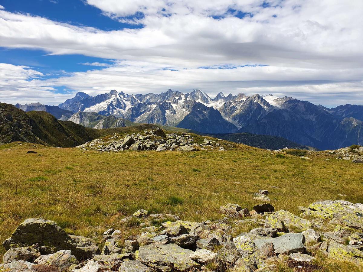
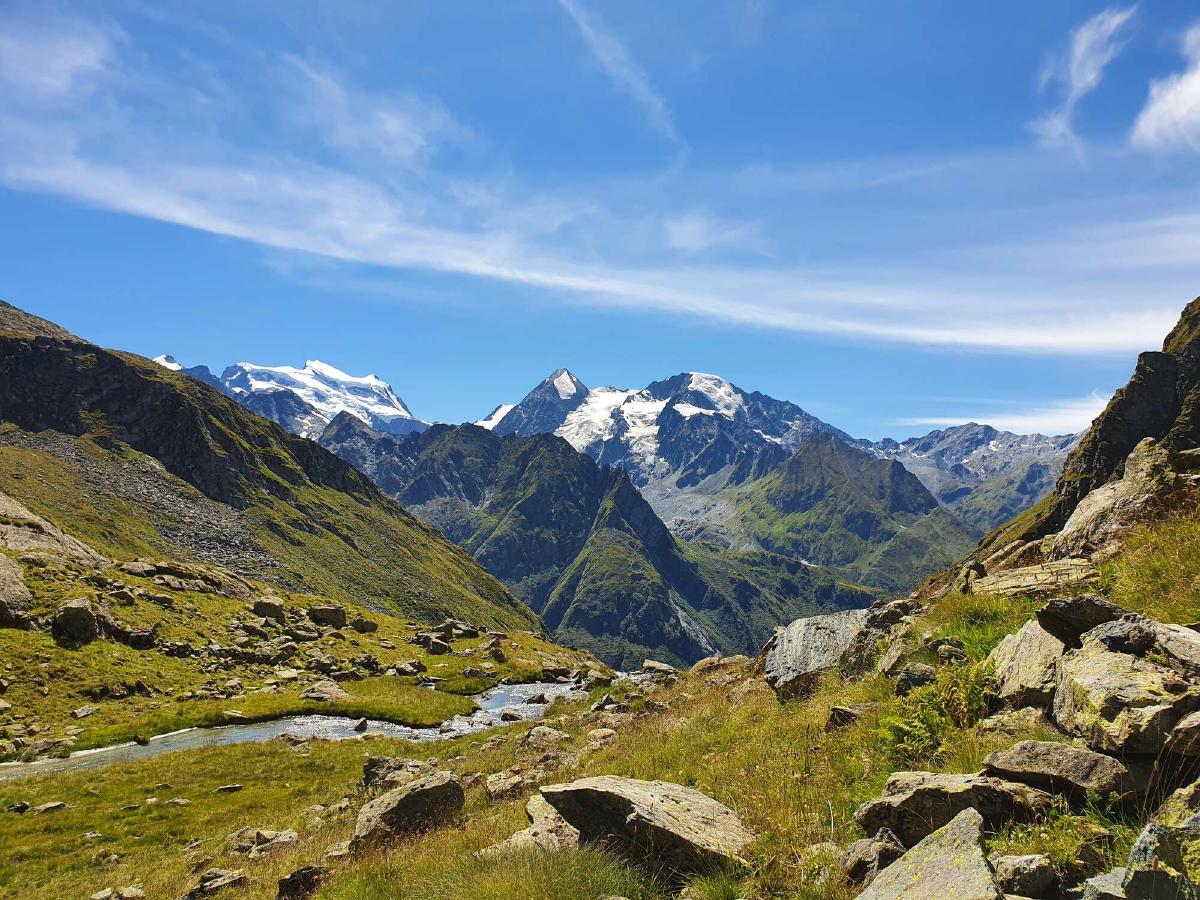
The ascent towards the Col de Mille is long but relatively mellow and offers amazing views of the Grand Combin and Mont Blanc massifs. I have to stop myself from constantly taking pictures.
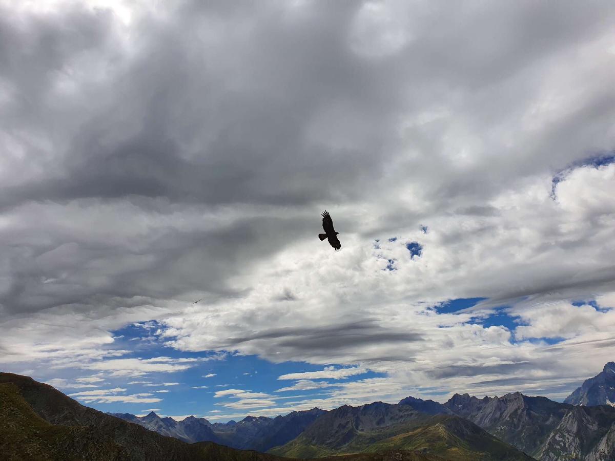
I have lunch at a nice little plateau. But even after a big meal I still feel hungry. It seems like hiker hunger is starting to set in. When I get going again I spot a pair of huge eagles circling above me. Never before have I witnessed birds this big so close. Even with my smartphone camera, I’m able to get quite good photos of them.
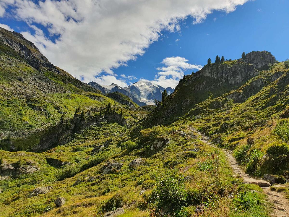
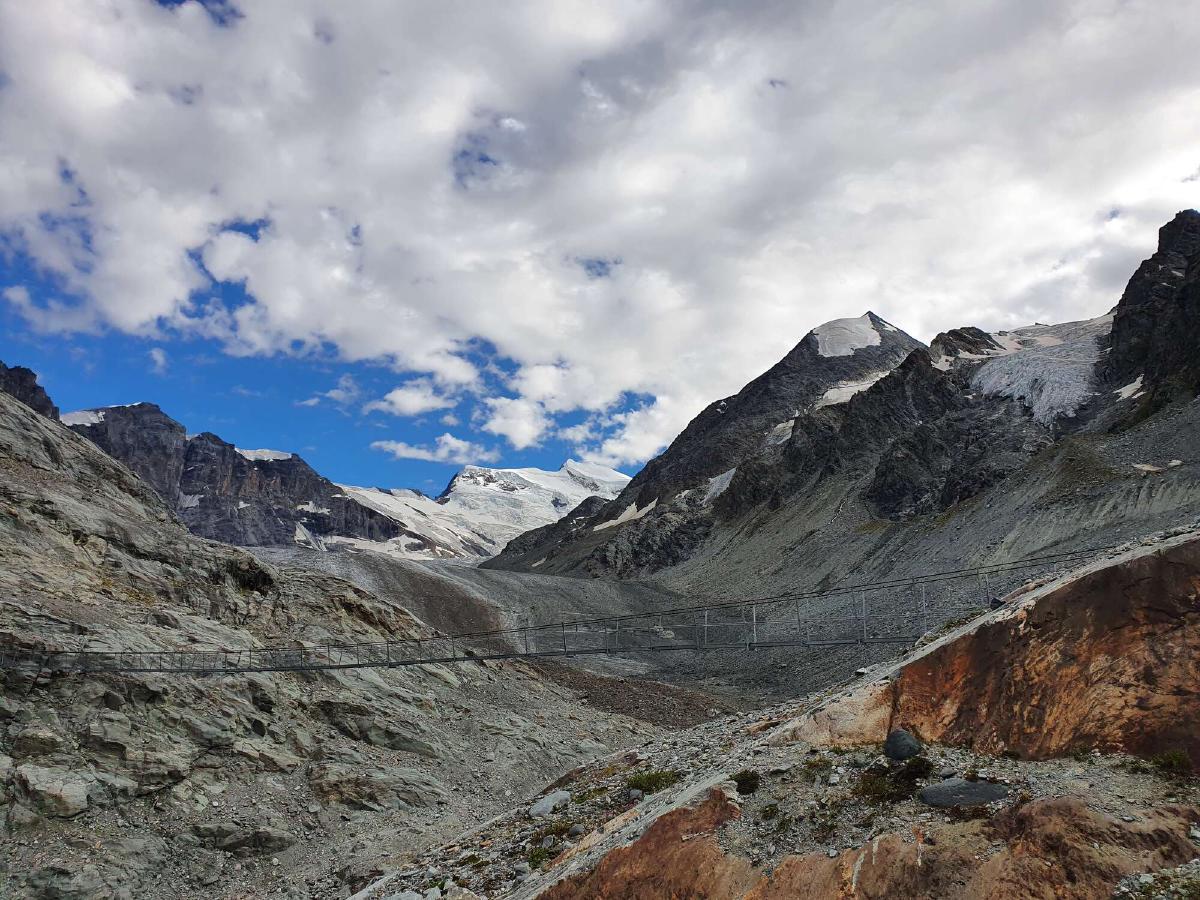
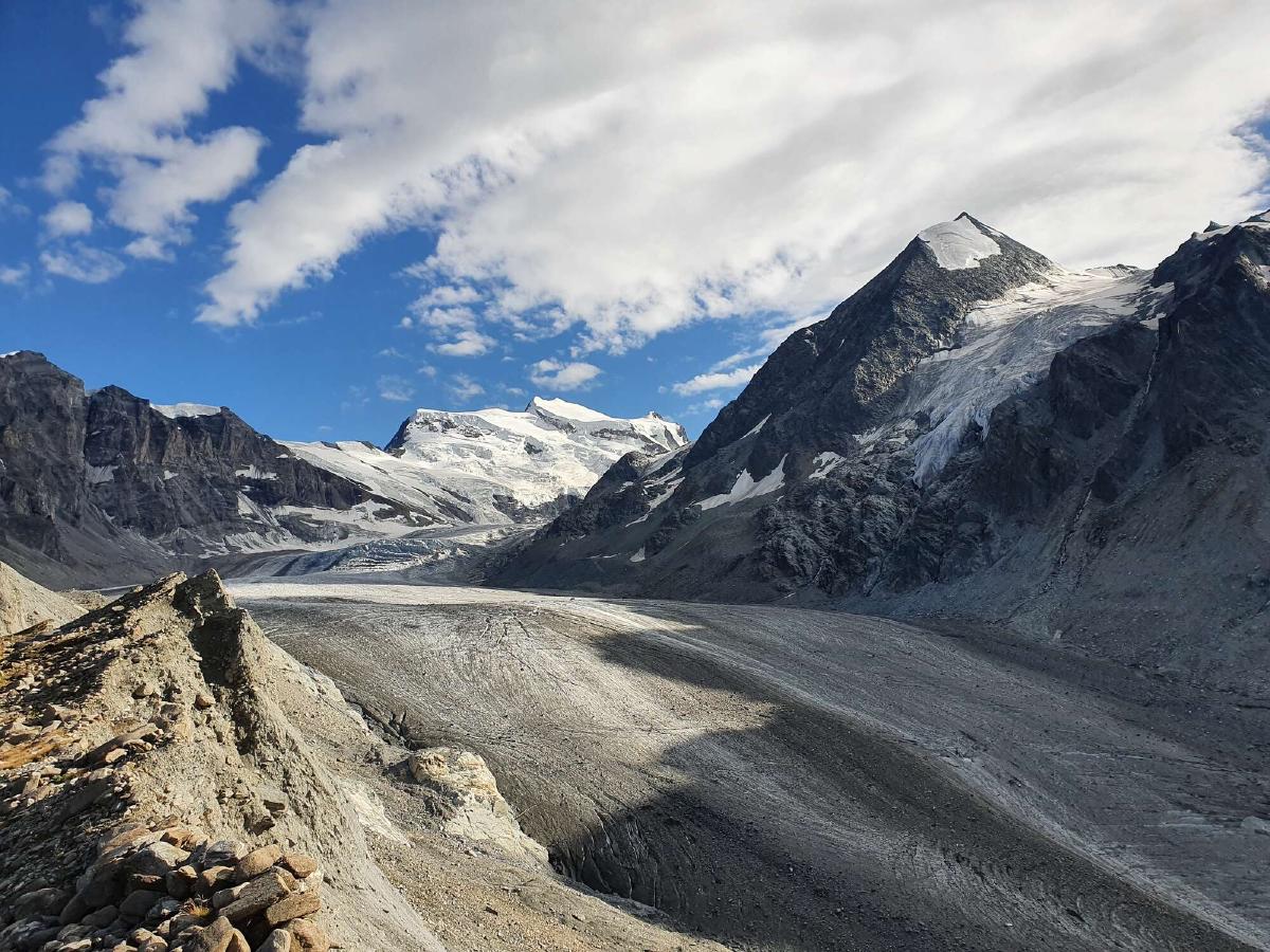
After the pass, I join a familiar section of trail, though this time there’s no cow herd blocking the path. Especially the part between the Cabane de Brunet and the Passerelle de Corbassière is just as stunning as I remember it from the last time I was here. It’s an absolute pleasure to walk through such breathtakingly beautiful scenery.
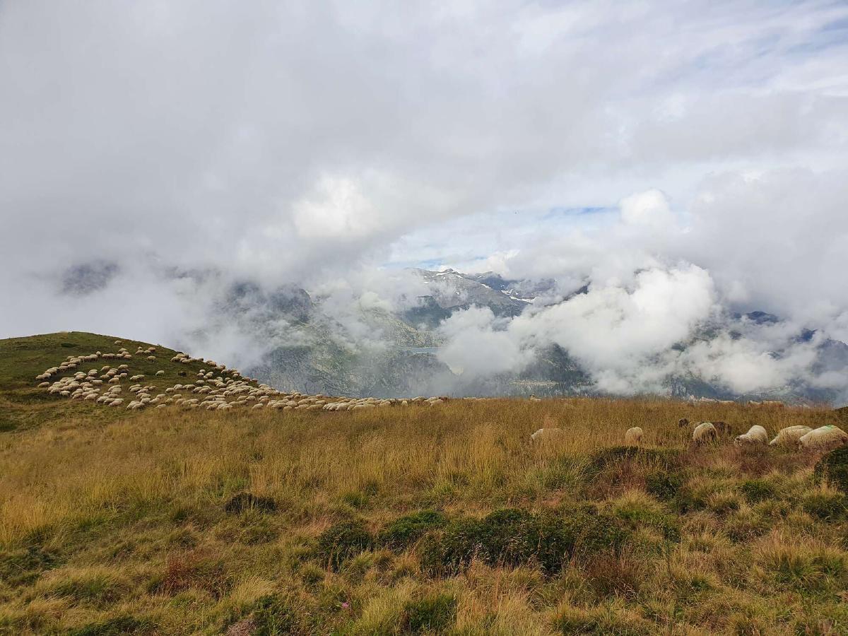
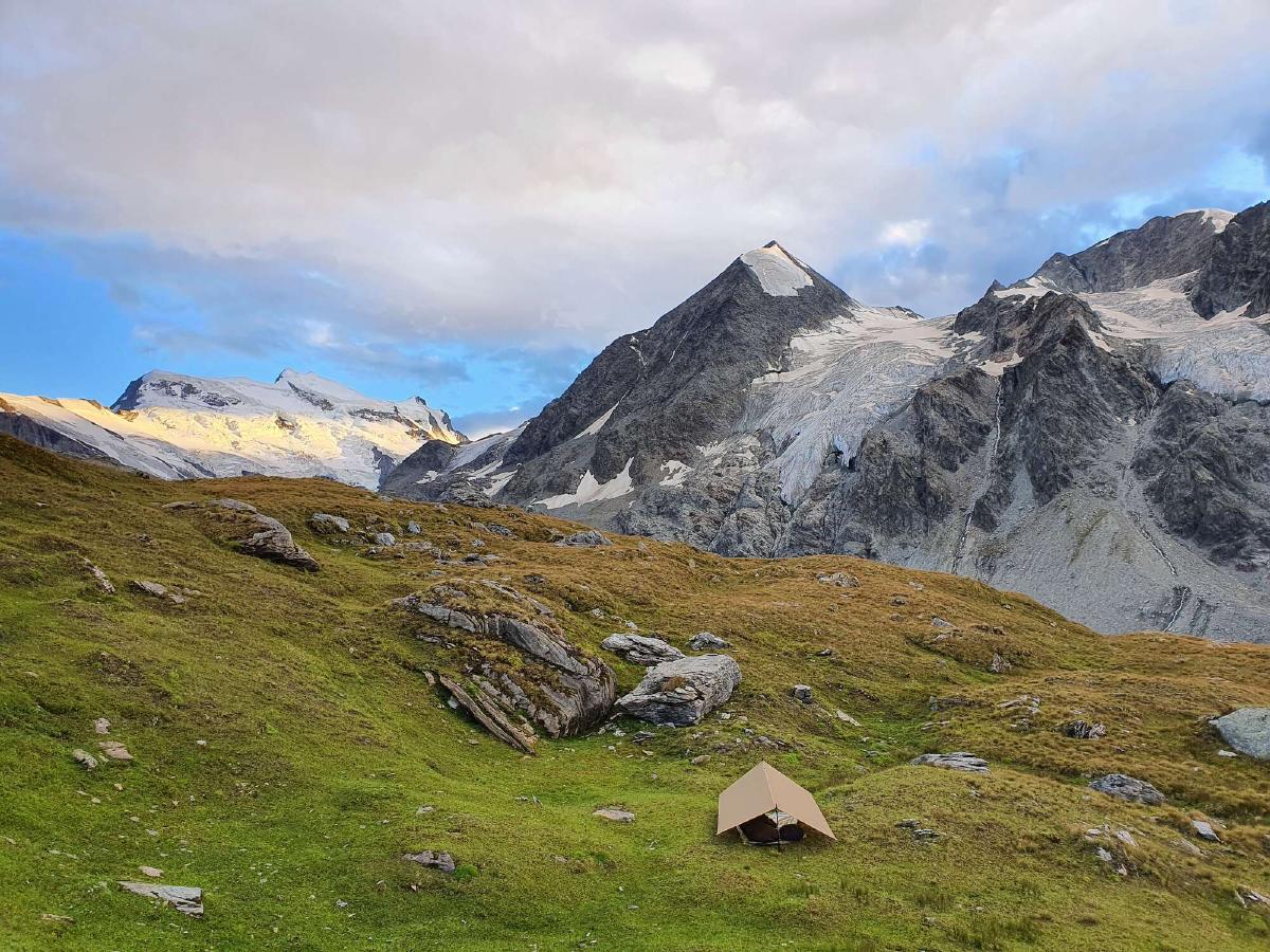
I find a nice campsite just out of sight of the nearby hut, surrounded by massive glaciers. A couple of curious sheep come to check out who’s visiting their pasture, but thankfully they don’t bother me any further.
Day 7 (26.08.2020): La Tsessette - Lac des Dix
Distance: 30 km; Ascent: 2'869 m; Descent: 2'843 m
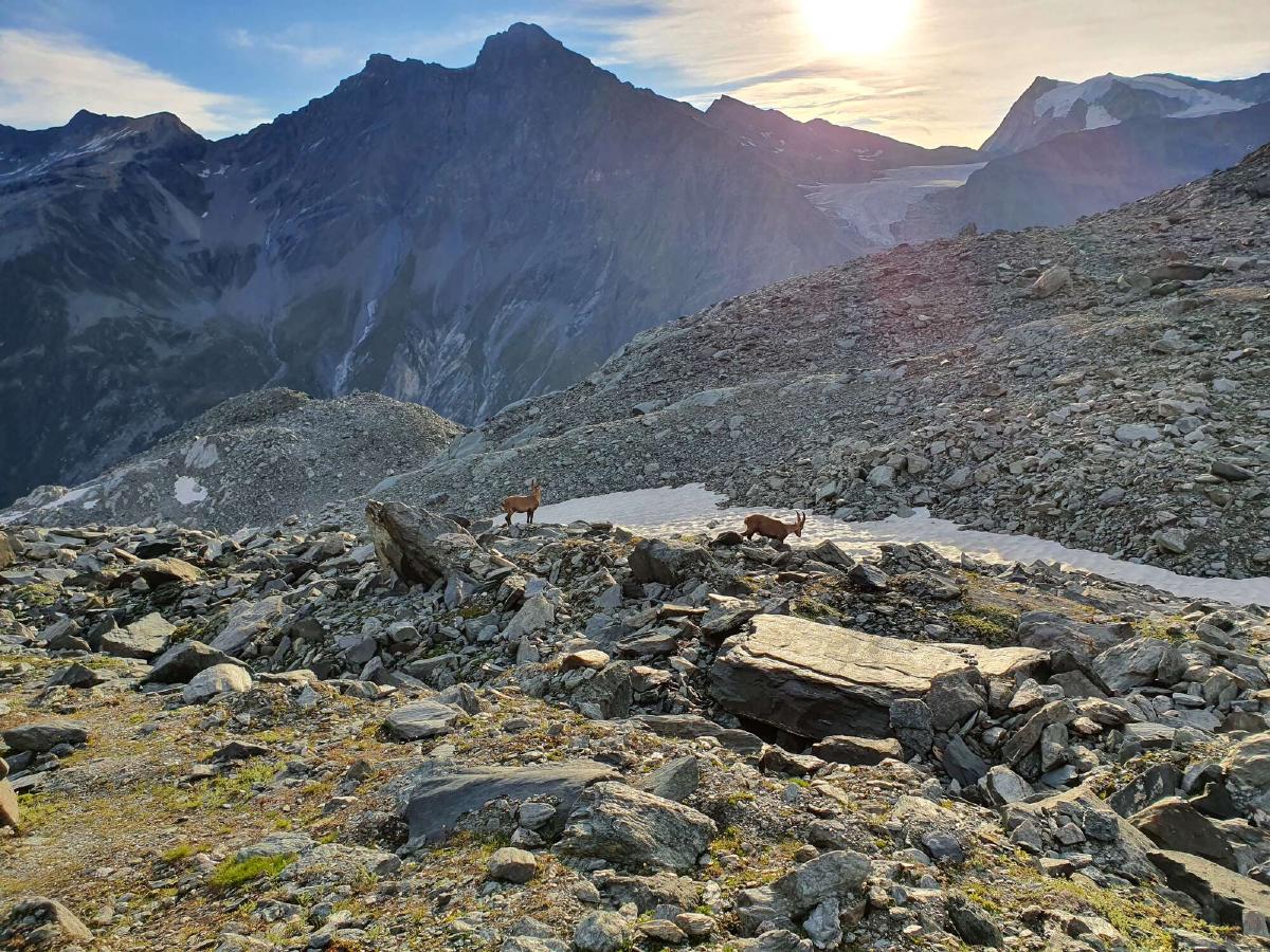
The day starts right away with a climb to almost 3000 meters and it takes me a while to get into gear. As a reward, I’m greeted by a bunch of ibex, who are the only others that are already up at this early hour. It is only on the descent towards the Mauvoisin dam that I start seeing a handful of other hikers and a trail maintainer.
After crossing the bottom of the valley, the trail goes up the other side straight away. I distract myself from the long slog by listening to an audiobook. Pretty soon however I come across a distressed sheep that has managed to entangle itself in a fence right on trail. Since I don’t know when a shepherd would find it, I decide to try to rescue it myself. I set down my pack and slowly approach the poor sheep, being careful not to startle it. It tries to escape anyway, but even when I pull on the fence, it only seems to get worse.
All the noise from the frightened animal attracts a bunch of other sheep, who all join into a cacophony of bleating. I back away and try to come up with a better plan. The only knife I have with me is a small Swiss Army knife normally used for cutting cheese and meat, but it will have to do. Cutting each wire of the fence is tedious with the small blade, but at least the sheep has calmed a bit. I wonder how it got into its predicament, since the fence is flipped at least two times.
It just takes three or four cut wires and a bit of pulling to finally get the sheep out. Delighted with its renewed freedom, it takes a couple of leaps and for a moment I worry that it would run into the fence again. Thankfully my fear is unfounded and it just trots away with its flock as if nothing happened.
Following all that excitement I am happy to settle back into the monotony of hiking. There are two minor passes before the trail drops down to the Lac de Louvie. I take a quick break at the cabane there and eat a delicious piece of sweet pie. I can’t wait around too long though, as I still have the highest pass of the entire trail planned for today.
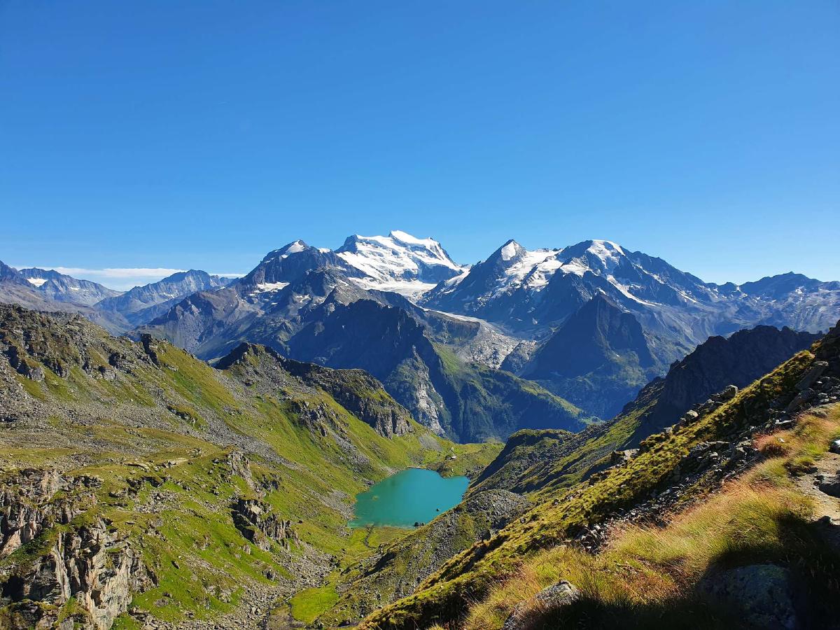
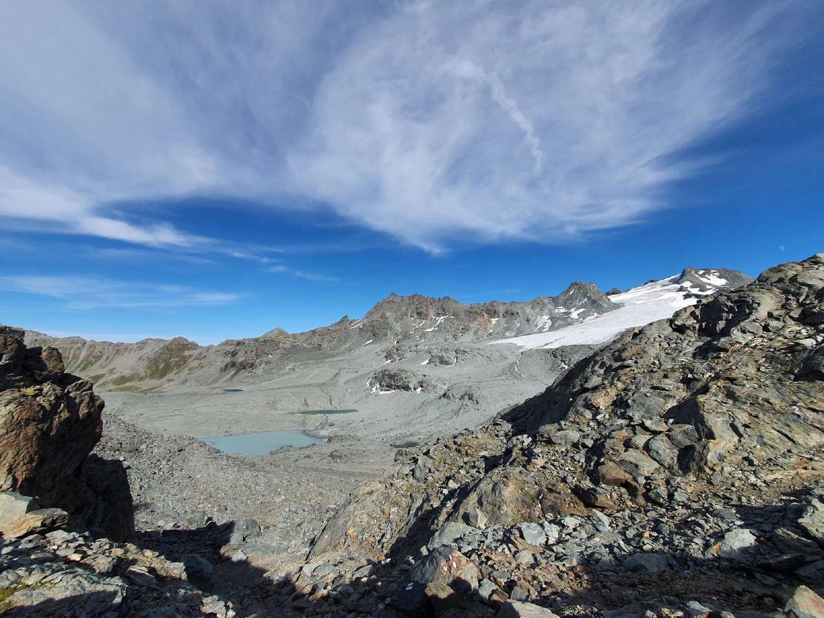
Once again I find myself on a familiar part of trail. During my thru-hike of the Haute Route in 2018, I couldn’t see much of this section due to heavy fog, but this time around the weather couldn’t be better. The views on the way to the Col de Louvie are already amazing, but seeing the entire Grand Désert is even better. At first glance, it just seems to be a lifeless expanse of rocks and glaciers, but upon closer inspection, a lot of small plants and flowers are somehow able to survive in this harsh environment.
Even with the good weather and high visibility, navigation is a challenge up here as there’s no real trail but instead just markers painted on rocks in regular intervals. I start looking for a spot to sleep, but decide to push on to a more welcoming area.
When I get to the top of the Col de Roux in the evening, I meet a couple from the Czech Republic. We join up and have a nice conversation about hiking and gear on the way down the pass. We check out an unstaffed hut but decide to camp instead because of the high price.
We set up our shelters in a nice spot and continue our conversation as the sun sets. Before going to sleep, I decide to take it easy tomorrow, since I have really pushed myself so far and it’s nice having company for a bit.
Day 8 (27.08.2020): Lac des Dix - Lac des Autannes
Distance: 35 km; Ascent: 2'286 m; Descent: 2'219 m
Just as usual I get woken up by the sun, but today I’m in no rush to get going. Instead, I enjoy the sunrise from my warm quilt and leisurely eat my breakfast. As I wait for my newfound companions to wake up and get ready, I’m already anxious to get underway.
We first have to navigate down to the trail from our campsite, but after that it’s smooth sailing along a flat dirt road. I really enjoy having someone to talk to after a week of solitary hiking.
At the far end of the lake we take a break. Afterward the trail starts a steep ascent and we quickly realize that it is probably better to split up due to our differing paces. I want to get to Arolla around noon since I’m all out of food, so we say our goodbyes and I leave them behind.
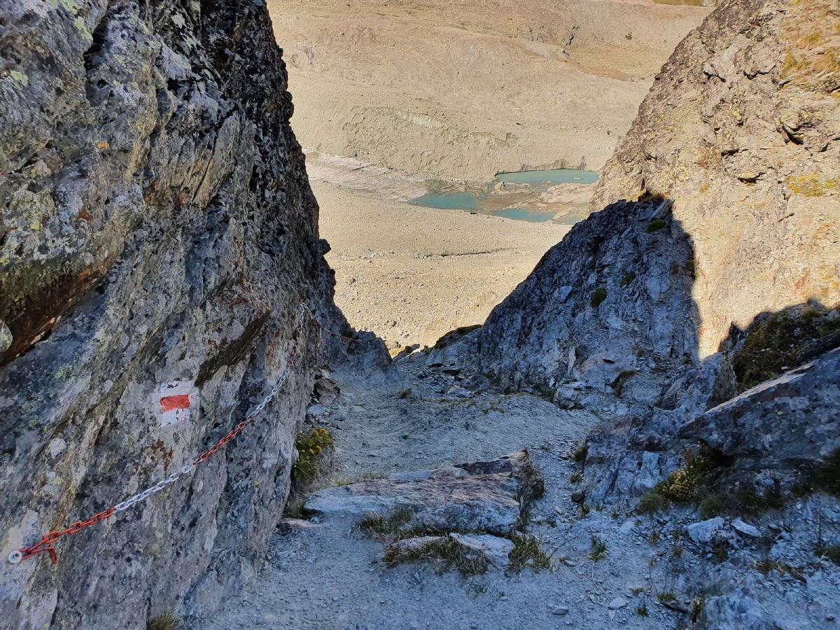
The climb to the Col de Riedmatten is very steep, but due to the good conditions and some helpful chains, it presents no real problem. The slope on the other side of the pass is a lot gentler, which makes for a pleasant and fast descent. Whereas I was racing the rain the last time I was here, this time I’m just racing my own hunger.
The store in Arolla is stocked pretty poorly, so I decide to just get lunch here and do the big resupply down in Les Haudères. Lunch in this case means a big bag of chips and a jar of mayonnaise, both of which I devour in a single sitting. For the first time in a couple of days, I feel fully sated.
The trail down to Les Haudères isn’t very enjoyable, and if I wasn’t deadset on doing the entire trail by foot I would probably skip it. When I get to the town, I’m not entirely sure what the plan for the next few days is, so I buy what feels like way too much food.
With a heavy pack and a full stomach set out to go over the Col de Torrent. The trail first leads through a couple of cute little villages and then gets steeper as it leaves civilization behind.
The copious amount of food I consumed in the past hours doesn’t combine too well with the effort of ascending the trail. I have to scramble to find a somewhat private spot in the middle of an open cow pasture and digging a cathole before nature calls. In my haste, I manage to put a bend in my trowel but thankfully I’m able to avert a larger catastrophe.
Feeling relieved both mentally and physically, the rest of the climb goes a lot smoother. I get up and over the pass and down to the Lac des Autannes. I find a nice campsite that’s somewhat sheltered and not right next to the lake to avoid condensation. As a bonus, there’s even reception here, which I use to plan out how to proceed further. According to the weather forecast there are thunderstorms tomorrow, then an entire day of rain and snow after that.
I feel a certain sense of urgency since there are still three high passes that I want to negotiate before they become snowed over. I also don’t really want to be outside if there are thunderstorms, and so because it has also been a while since my last shower, I decide to reserve a hotel room in Zinal for the next night. However, there are no affordable rooms available in the entire town, so end up settling for a hotel in Grimentz, which is a short bus ride away.
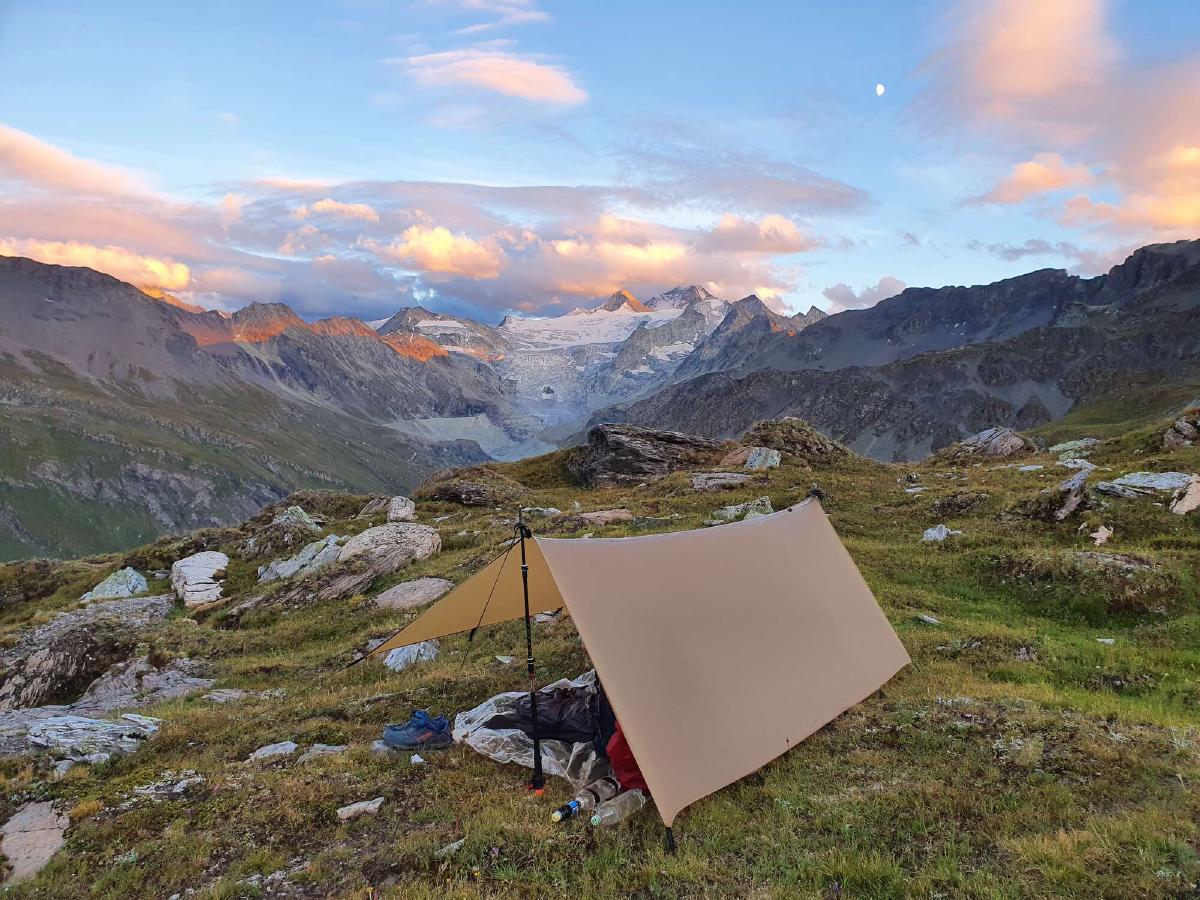
Day 9 (28.08.2020): Lac des Autannes - Zinal
Distance: 17 km; Ascent: 828 m; Descent: 1'804 m
When I wake up to the sunrise, I don’t feel very energized, even though I have a nice warm bed and shower to look forward to. At least today will be pretty short compared to the previous days.
The scenery is very beautiful until I get to the Corne de Sorebois, from where the entire mountainside is scarred by the ski resort. It’s made even worse by the extensive construction work going on at one of the lifts. While the official trail would lead straight down, there’s currently a detour that adds quite a few kilometers. This diversion turns out to be beneficial though, as it leads through much more picturesque scenery.
The weather is constantly on the verge of rain, but apart from a few drops, it stays dry. When I reach Zinal I can see why all the hotels are booked out: the town is the endpoint of the Sierre-Zinal race currently going on.
At the bus stop, I am shortly reunited with my Czech friends from earlier. We exchange a few words and then part ways for the final time, as they are staying on the campground in town.
Eventually, the bus to Grimentz arrives and I spend the rest of the day getting town chores done and relaxing. I reflect on the progress I already made on this hike, not yet knowing that the biggest challenge is still lying ahead of me.
